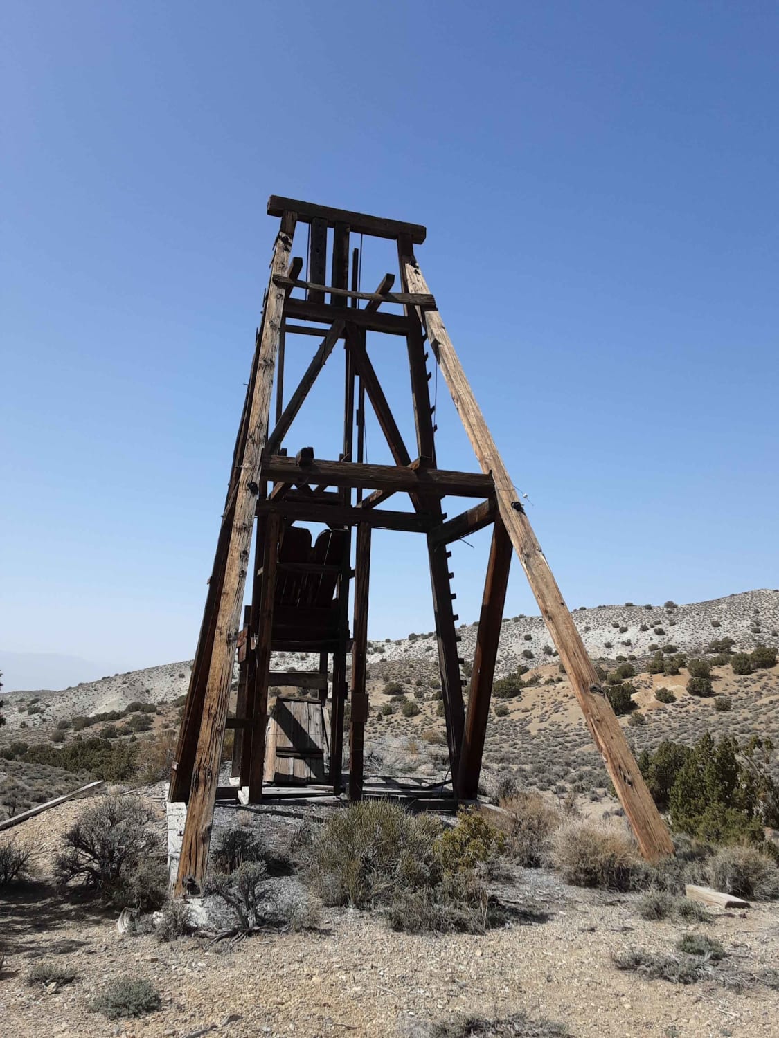
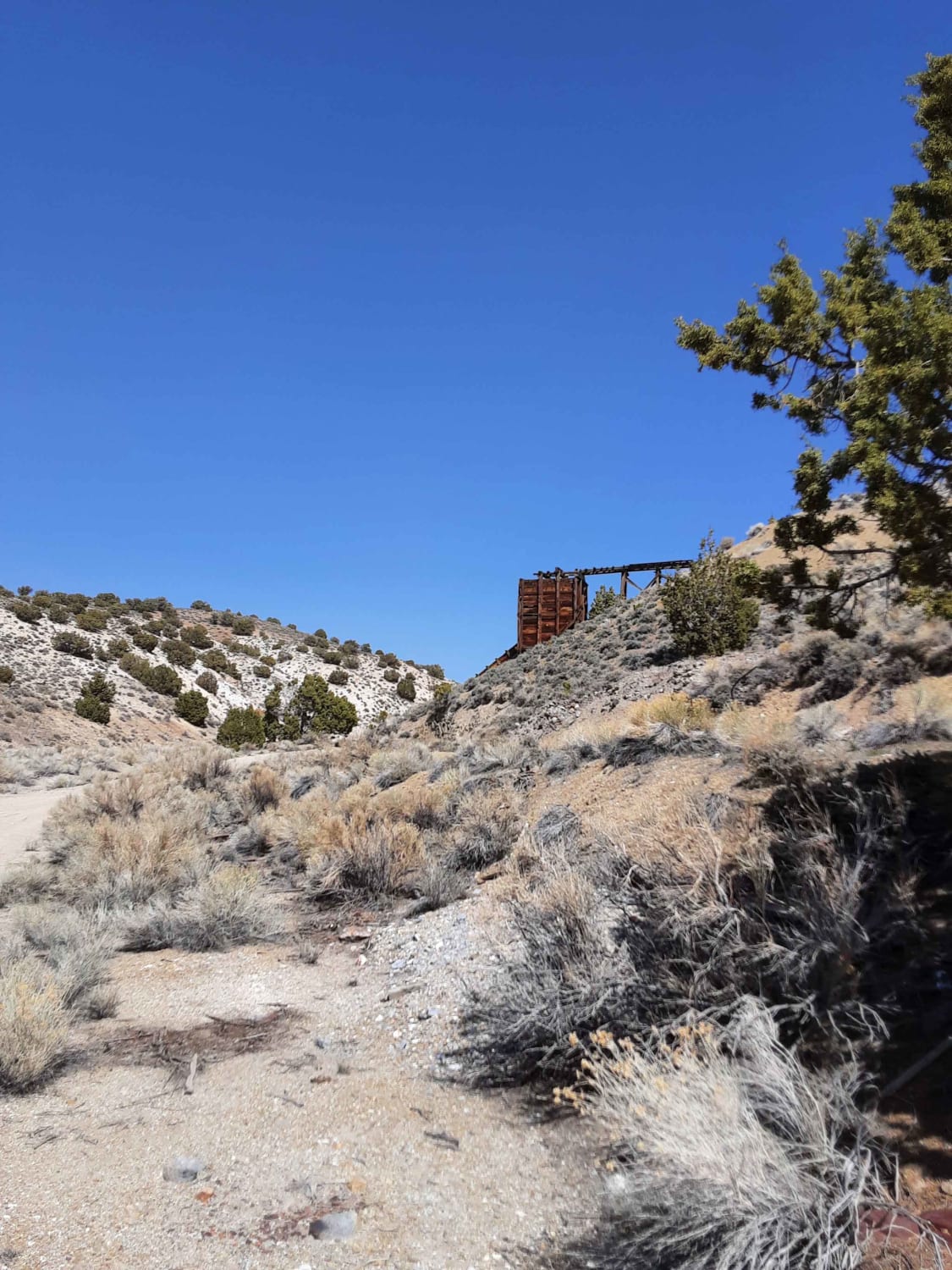
The Road to the Simon Lead Mine
Total Miles
23.2
Technical Rating
Best Time
Summer, Fall
Trail Type
Full-Width Road
Accessible By
Trail Overview
The road to the Simon Lead mine is traveled via a well-maintained dirt road until the last 4 miles. The road then contains washed-out areas and narrow passages. According to https://www.nvexpeditions.com, small amounts of silver-lead ore were discovered and shipped from this district as early as 1879, but its importance didn't grow until the Simon Silver-Lead Mines Company was organized by P.A. "Pop" Simon in 1919. A post office was established on November 11 of that year, and in 1921 a 100-ton flotation mill was erected and a power line built from Hawthorne. In 1923, the mill was enlarged to 250 tons and continued to operate until January 1927. Around this time, the mine had around 25,000 feet of underground workings.The Simon mine was operated on a smaller scale into the 1930s. In 1931, an 18-hour power failure caused pumps in the mine to fail, and the bottom levels of the mine were flooded. The mine was un-watered in 1937 by the Bryan Mining Company but was allowed to fill back up because of a lack of funds and has since filled to the 450-foot level. Simon's post office closed on June 28, 1938 and the mill was burned by vandals in the 1990s.
Photos of The Road to the Simon Lead Mine
Difficulty
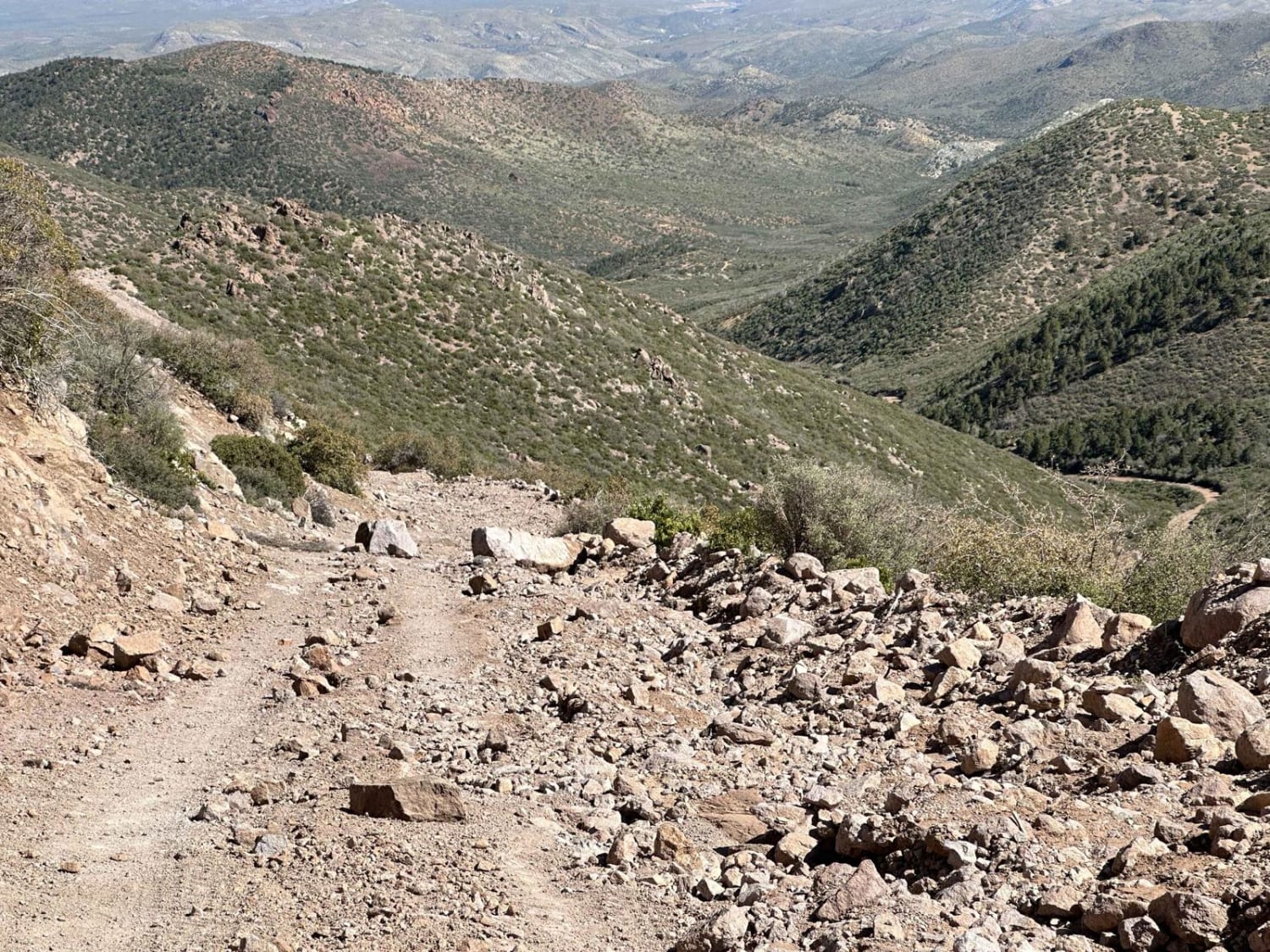
Several washed out areas in the last 4 miles must be overcome to get to the Simon Lead mine. Some washouts and small and gradual, others are large and abrupt.
Status Reports
Popular Trails

Backway to Seven Magic Mountains
Willow Springs Half Loop
Crystal Springs Road
North Sam's Camp Road
The onX Offroad Difference
onX Offroad combines trail photos, descriptions, difficulty ratings, width restrictions, seasonality, and more in a user-friendly interface. Available on all devices, with offline access and full compatibility with CarPlay and Android Auto. Discover what you’re missing today!
