Mushroom Loop
Total Miles
17.1
Elevation
2,666.35 ft
Duration
2.5 Hours
Technical Rating
Best Time
Summer, Fall
Trail Overview
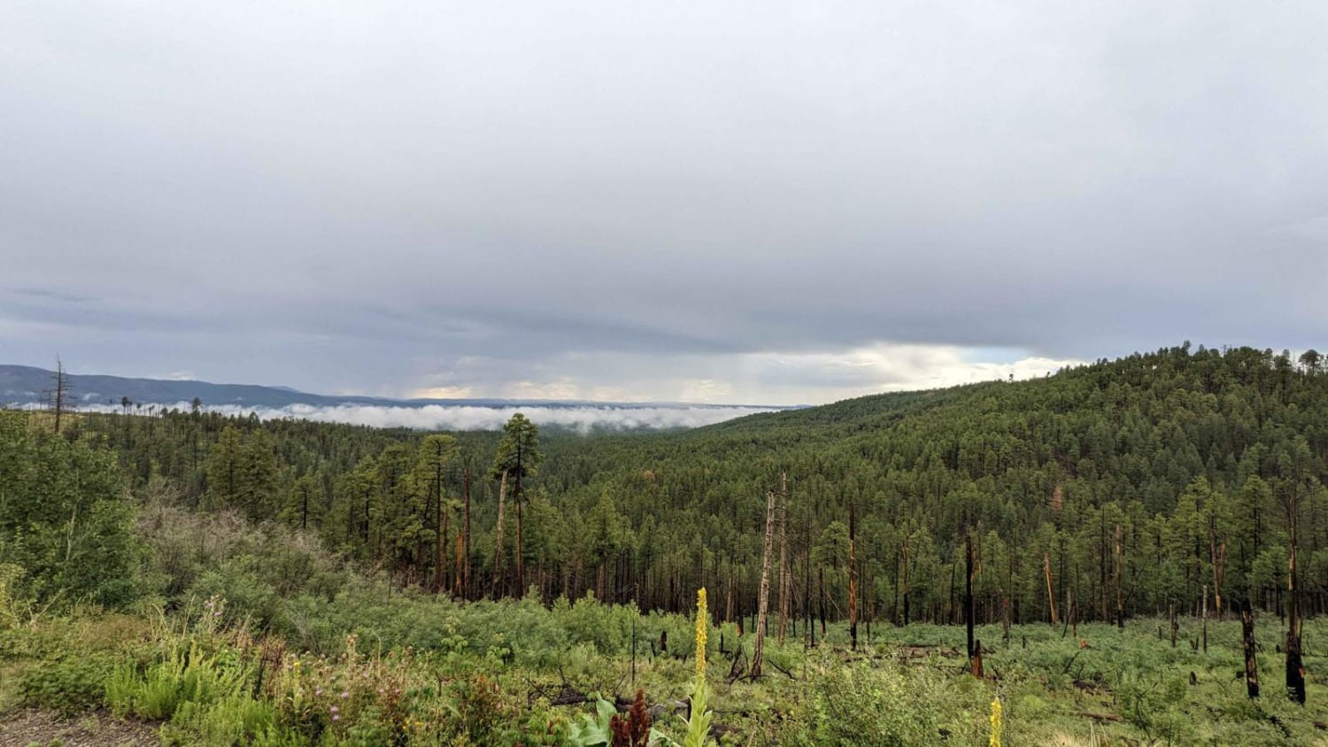
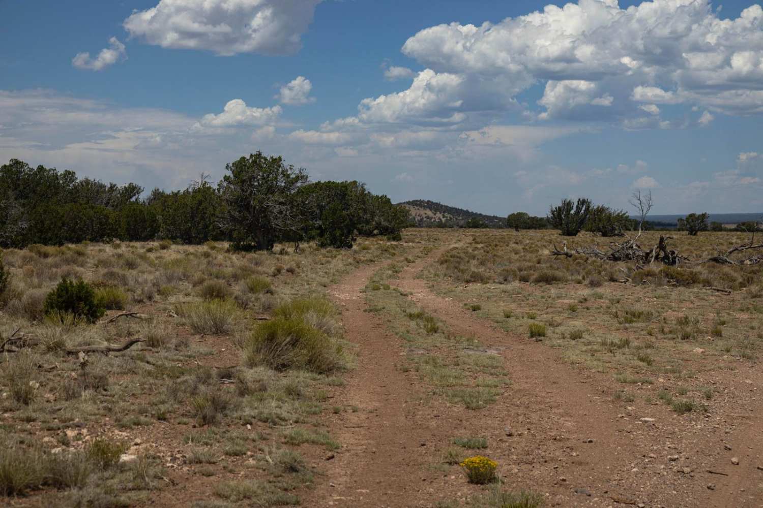
This loop starts and ends on Middle Mountain Road. This loop has been coined the Mushroom Loop because several mushrooms were on display at stops along this loop. Either direction can be traveled individually, with the northern side of the loop being a primitive road lightly used, the southern side a way to drop down to Sprucedale and Buffalo Crossing in much better condition. Heading back up the northern arm, stop at a rock formation that looks like a big horny toad. You will see it just as you cross a small water crossing along the trail. Just beyond this area is where most mushrooms are seen but the mushroom discovery will all depend on the time of the year and environmental conditions. Continuing up the trail, you will find this road much slower-going with several places where water can gather on the road. This arm of the road also can be much rockier in places. On the top end, there is an additional loop that goes out to a scenic view of the mountains but can be bypassed if you want to shorten the trip. This loop is even less traveled but not difficult.
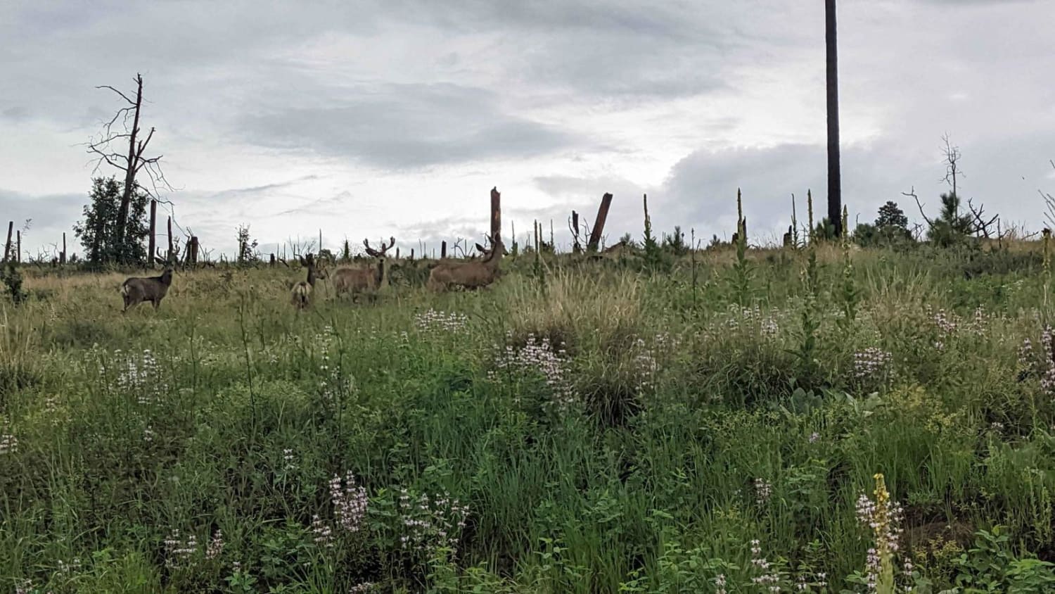
Photos of Mushroom Loop
Difficulty
The most difficult part of this trail is the uneven rocky road at times. There are no major obstacles but it may wear on the traveler if not accustomed or prepared for the bumpy ride. Some mud holes are possible also in wet weather.
Status Reports
Popular Trails

Ryan-Jumpup Divide
Fossil Creek to Irving Trailhead
Dripping Springs Southern Loop
The onX Offroad Difference
onX Offroad combines trail photos, descriptions, difficulty ratings, width restrictions, seasonality, and more in a user-friendly interface. Available on all devices, with offline access and full compatibility with CarPlay and Android Auto. Discover what you’re missing today!
