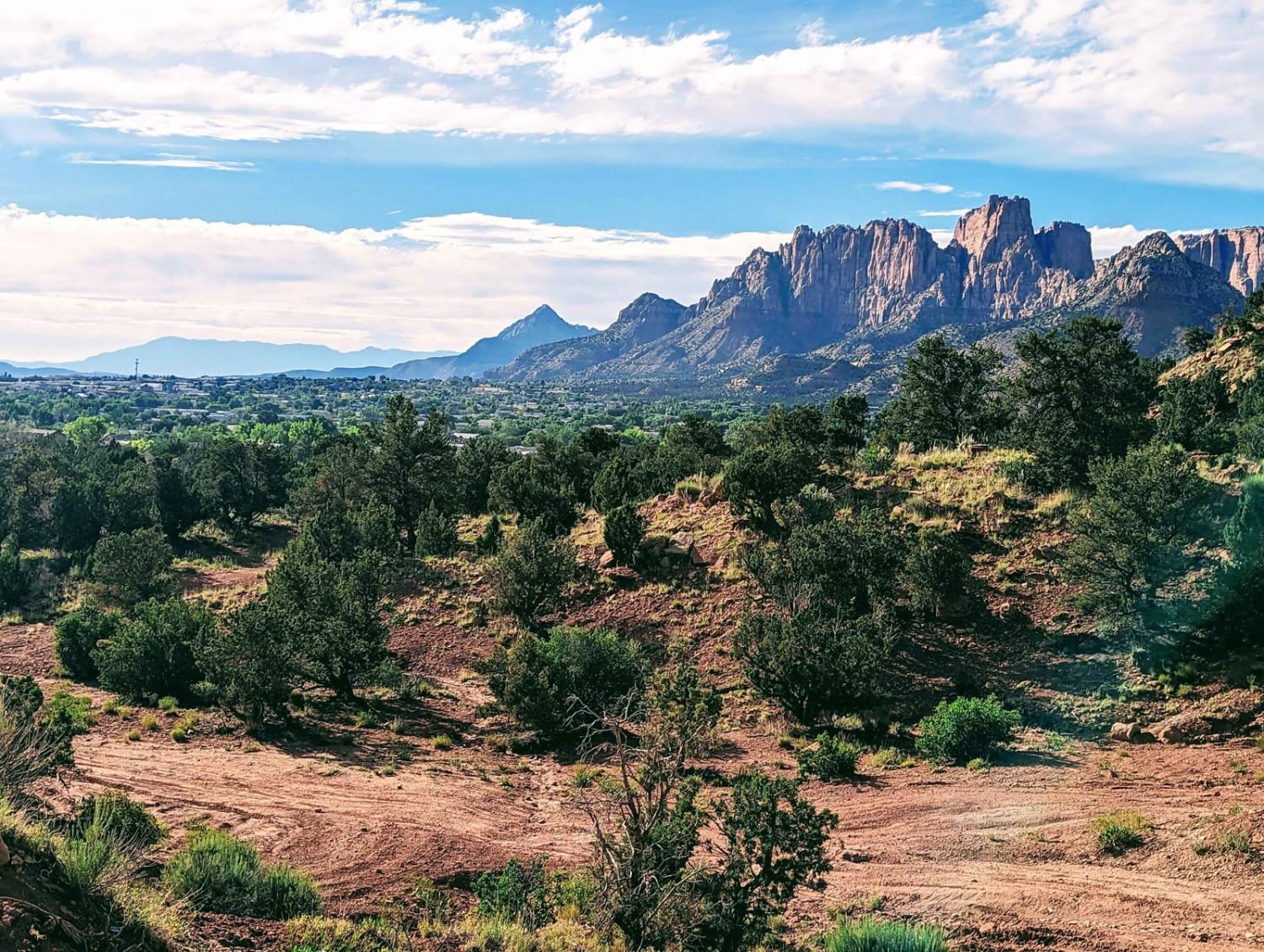
Cottonwood Point
Total Miles
5.0
Elevation
1,592.46 ft
Duration
1 Hours
Technical Rating
Best Time
Winter, Fall, Summer, Spring
Trail Overview
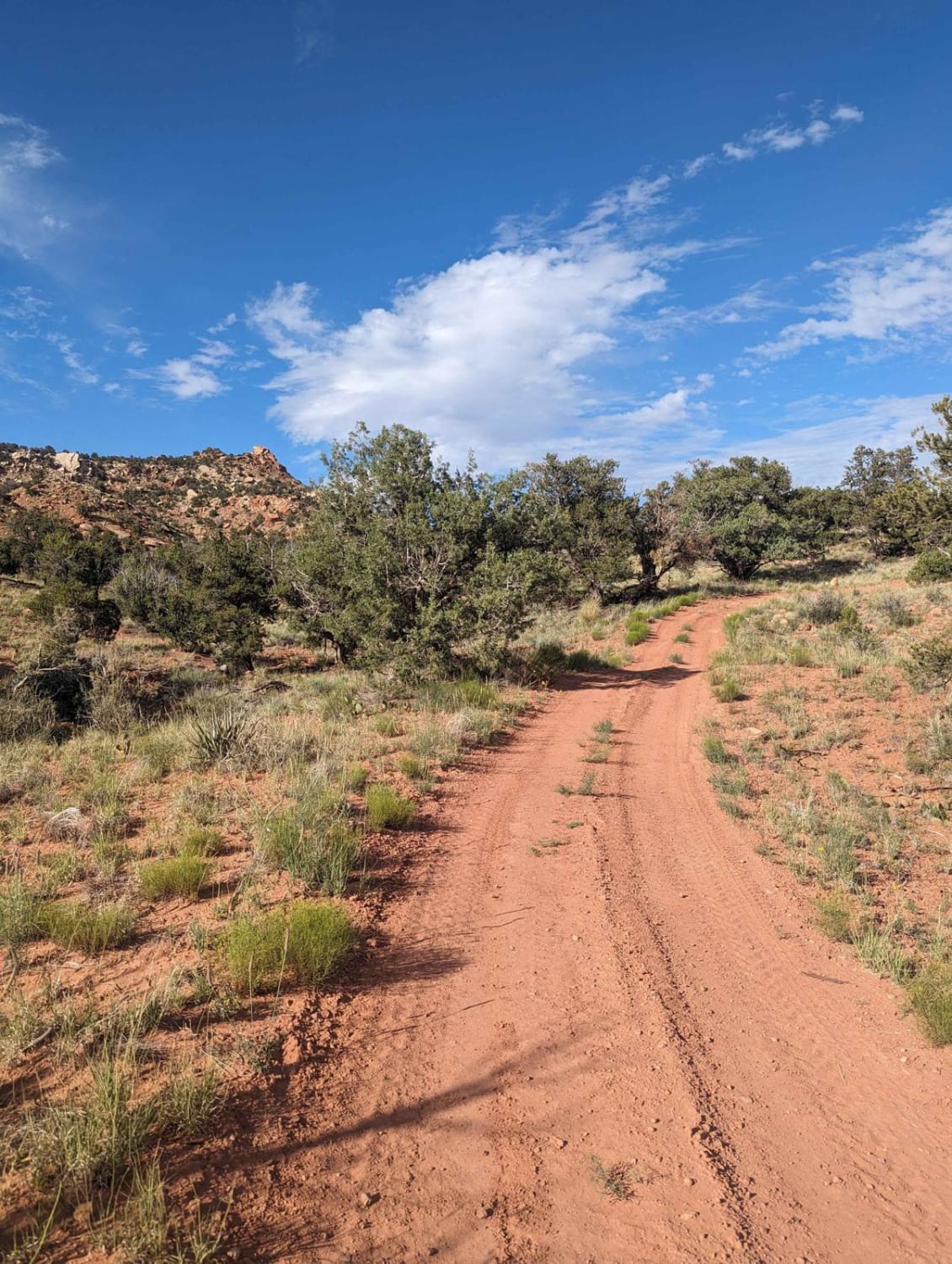
This beautiful trail winds through the trees, and offers wonderful views of the red rock faces of Cottonwood Point above. There are many options throughout this BLM area, ranging from fairly packed dirt to deep loose sand. The area allows you to connect the town of Colorado City to the Coral Pink Sand Dunes Road without having to go on/adjacent to 389 Highway. There are many side trails throughout the area to explore as well.
Photos of Cottonwood Point
Difficulty
There are a few placed where you would need high clearance, as well as deep sand in spots that could make things interesting.
Status Reports
Popular Trails
West Swift Trail 366
Copper Creek Trail
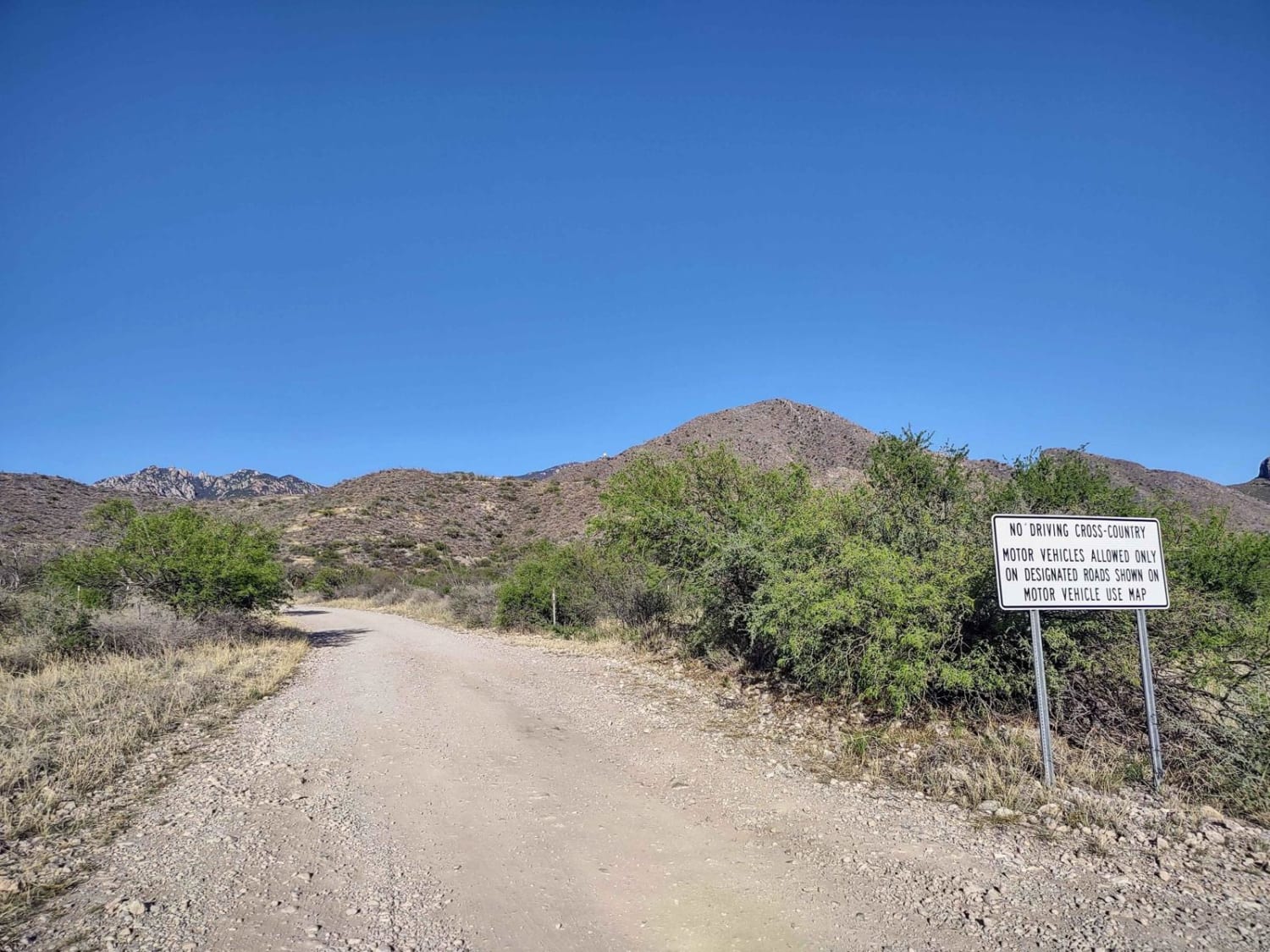
Forest Road 183
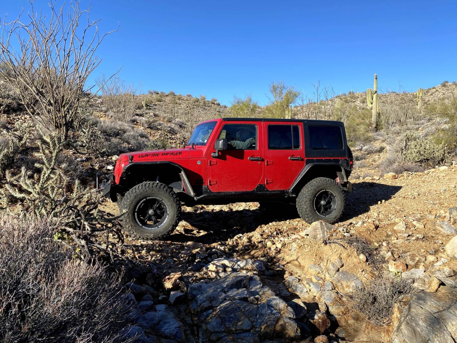
Groom Peak Loop
The onX Offroad Difference
onX Offroad combines trail photos, descriptions, difficulty ratings, width restrictions, seasonality, and more in a user-friendly interface. Available on all devices, with offline access and full compatibility with CarPlay and Android Auto. Discover what you’re missing today!
