The "Shooting Range" Quarry
Total Miles
1.7
Technical Rating
Best Time
Winter, Fall, Spring
Trail Type
Full-Width Road
Accessible By
Trail Overview
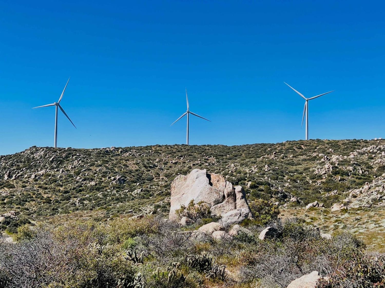
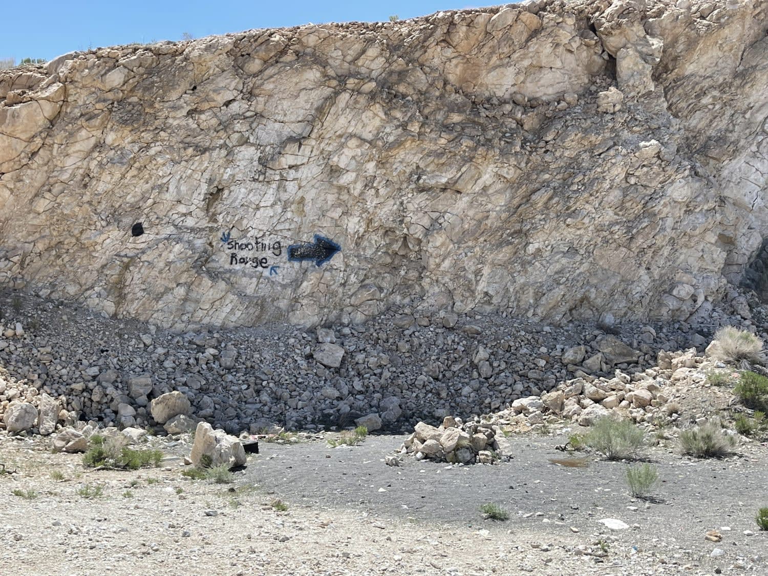
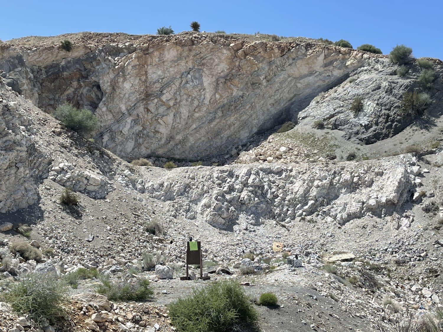
This out and back trail ends at a small turnaround loop with a great view. A short side trail heads up to the old abandoned mine, which features a few flat dispersed camping spots and an unofficial shooting range. There's broken glass and sharp objects scattered about, so be careful of potential tire damage. It could probably use a cleanup at some point. The views of the surrounding mountain ranges are stunning, and this point looks out over the Juniper flats area. The trail ends/begins in Juniper flats. There is one bar of LTE cellular service.
Photos of The "Shooting Range" Quarry
Difficulty
Mostly easy, some washouts and rocks, room to pass oncoming and some not very deep sand.
History
Juniper Flats covers 101,272 acres of mixed public and private lands. Located between the Mojave Desert and the forests of the San Bernardino Mountains, Juniper Flats hosts a unique mixture of plants from both environments. Its streams and wetlands attract many kinds of wildlife. No less impressive are the beautiful views and varied landscape that make Juniper Flats a favorite recreation destination year-round.Visitors to Juniper Flats enjoy excellent recreation opportunities, including camping, hiking, backpacking, horseback riding, mountain biking, and hunting. Off-highway vehicle (OHV) touring is restricted to a designated route system (see numbered routes on map).Routes not marked as open are CLOSED to all motorized vehicles. "Technical" or cross-country (off-route) OHV activities are not allowed in Juniper Flats; please use the nearby El Mirage, Johnson Valley, or Stoddard Valley OHV areas. Juniper Flats is part of a public trail network that connects the San Bernardino National Forest with Victor Valley OHV areas to the northwest. Camping and PicnickingDispersed camping and parking are allowed in areas that show obvious signs of prior use and lack of vegetation cover, that is within 300 feet of a designated open route, and that are at least 200 yards from wildlife watering places. Camping in any one location is limited to 14 days. Please obtain permission before entering private land. Fire permits are required and may be restricted in the fire season (May - October). Fire danger is extreme during most of the year.
Status Reports
Popular Trails

R43 Willis Well Road

Black Canyon

Return to the Windmills

Big Springs East
The onX Offroad Difference
onX Offroad combines trail photos, descriptions, difficulty ratings, width restrictions, seasonality, and more in a user-friendly interface. Available on all devices, with offline access and full compatibility with CarPlay and Android Auto. Discover what you’re missing today!


