Cedar Pass
Total Miles
7.3
Elevation
1,877.65 ft
Duration
--
Technical Rating
Best Time
Spring, Fall, Summer
Trail Overview
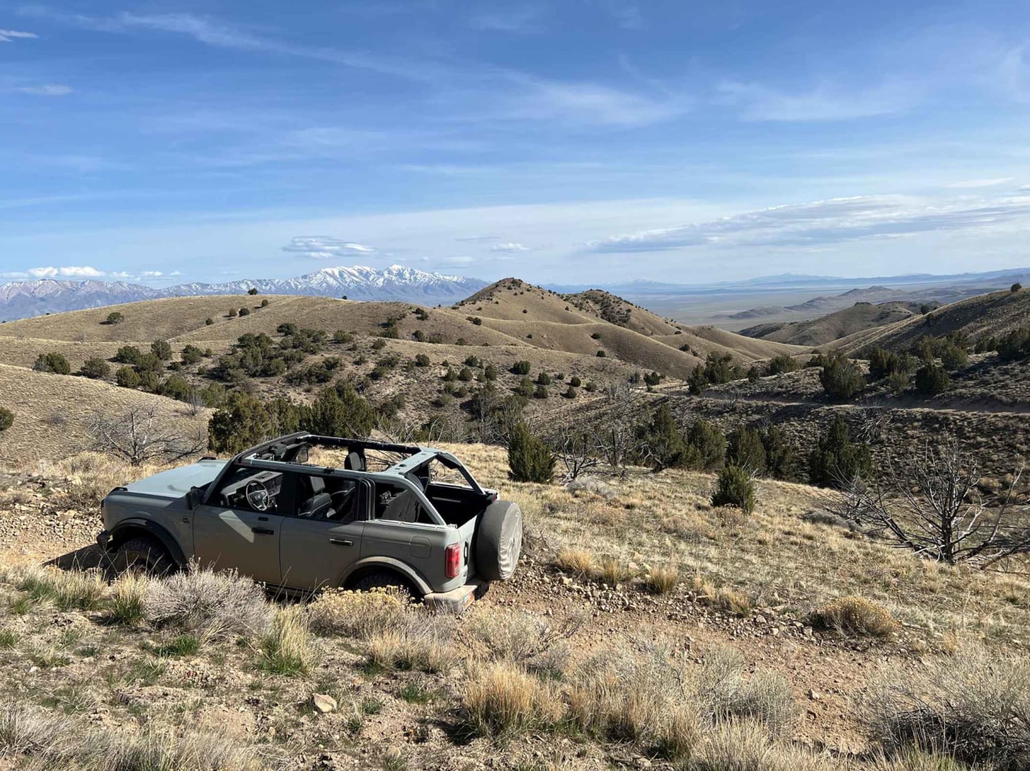
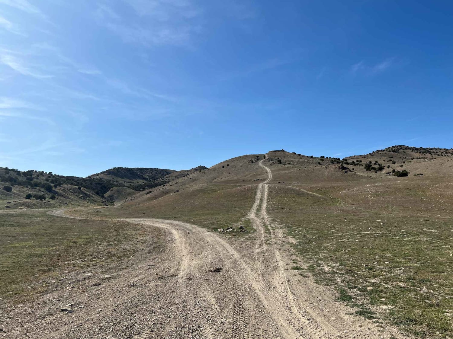
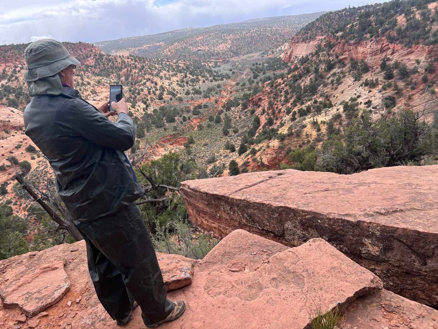
This trail goes up and over the Cedar Mountain Range. It starts at a gate in a narrow canyon. The canyon is wide enough for most 4WD vehicles; however, it's overgrown in some sections, and plants may scratch larger vehicles. The canyon winds its way upwards until on top of the range. The views from up here are great. Be careful driving this in winter and early spring - there are a few sections up top that turn into mud pits with snow runoff.
Photos of Cedar Pass
Difficulty
No major obstacles when dry. Several muddy sections during the melt season, which may be impassible.
Status Reports
Popular Trails
Pink Cliffs Viewpoint Loop

West State Line Road -16400N
Revenue Gulch - Bullion/Wedge Road
Waterglyph Lane (BLM 101)
The onX Offroad Difference
onX Offroad combines trail photos, descriptions, difficulty ratings, width restrictions, seasonality, and more in a user-friendly interface. Available on all devices, with offline access and full compatibility with CarPlay and Android Auto. Discover what you’re missing today!
