Upper Lytle Creek Divide
Total Miles
7.7
Technical Rating
Best Time
Spring, Summer
Trail Type
Full-Width Road
Accessible By
Trail Overview
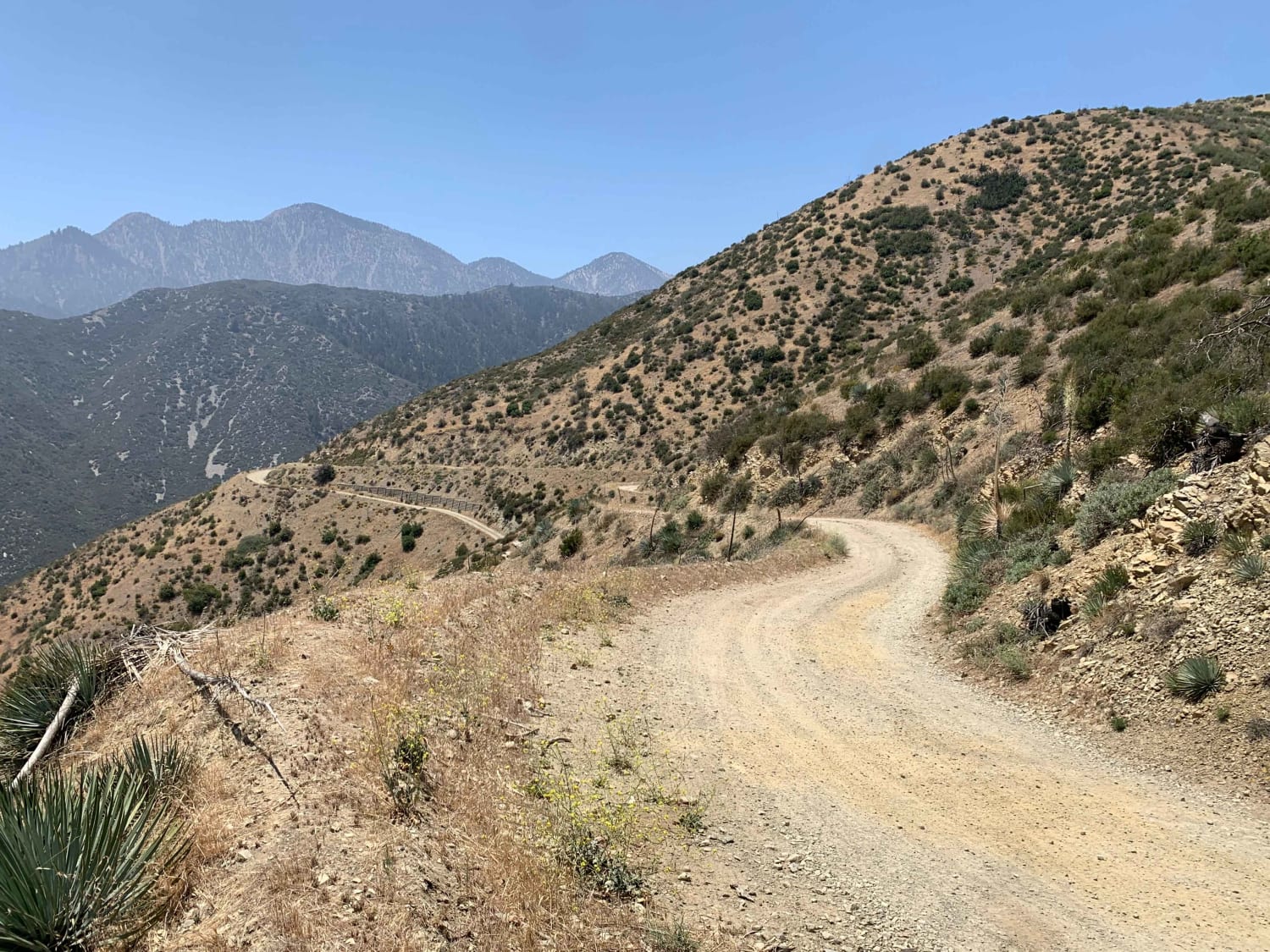
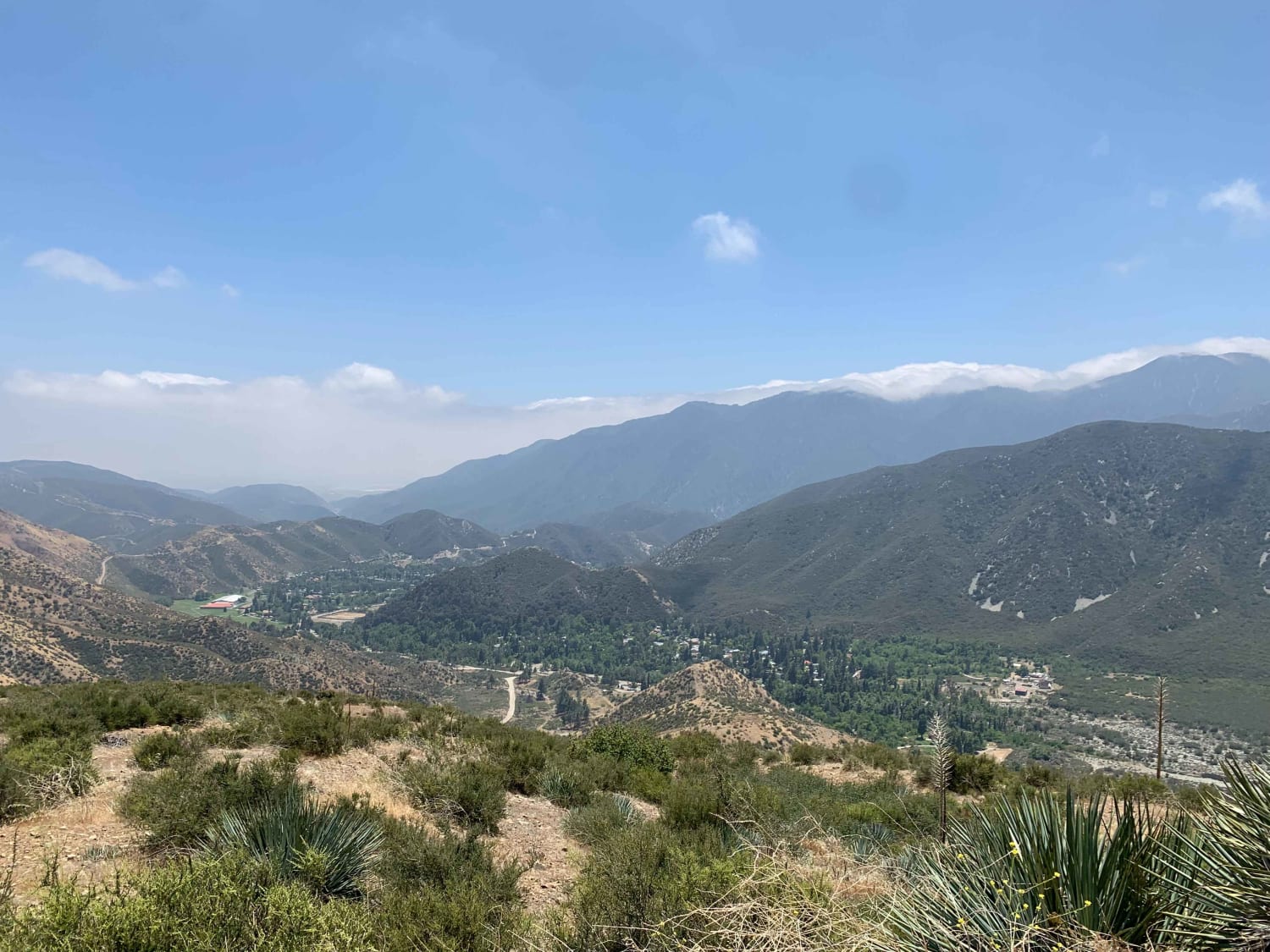
The trail consists mainly of dirt, rocks, and some roots. It is wide enough for one vehicle, but there are turnouts for passing throughout the trail. Stock height 2WD SUV and truck-type vehicles are capable of completing this trail. There are some soft and loose dirt areas, but they are not an issue for 2WD vehicles. There are also plenty of scenic views with safe places to stop on turnouts that do not block traffic. These turnouts have space for multiple vehicles, so it also will not affect others from pulling off if needed. Cell phone service is reliable in most areas of the trail, but downloading an offline map is highly recommended as cell phone service is not reliable in areas leading up to the trail. There are no gas stations within miles of the trail so fueling up prior to the trip is recommended.
Photos of Upper Lytle Creek Divide
Difficulty
2WD vehicles are capable of completing the trail but there is potential of sections becoming harder if rain or snow occur prior to travel. There is also a cliff on one side of the trail for the majority of the trail so caution is advised.
Status Reports
Popular Trails
Barrett Lake Jeep Trail - 16E21
Searles Valley Mineral Operations to 178
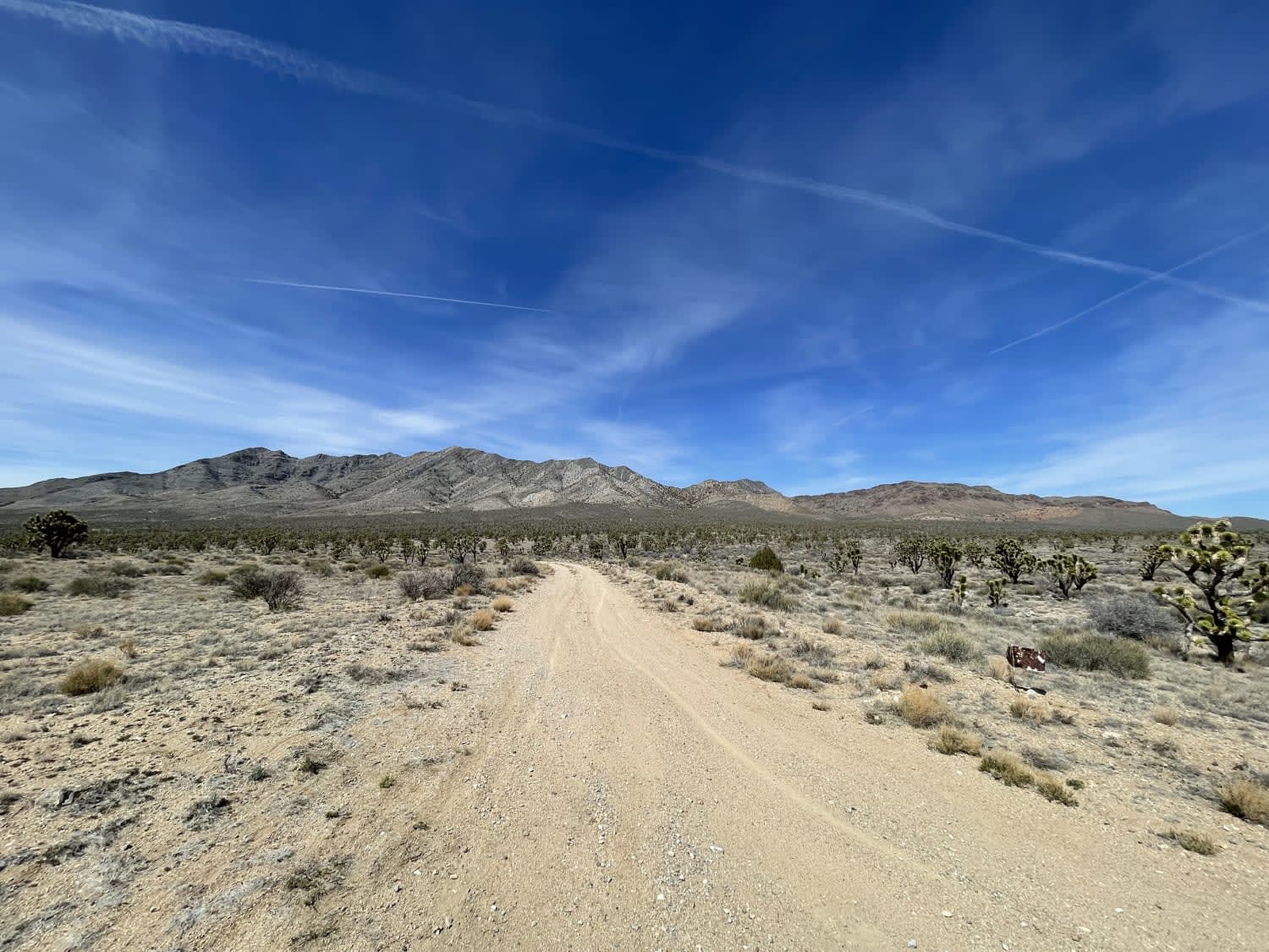
Eastern Zinc Mine Road
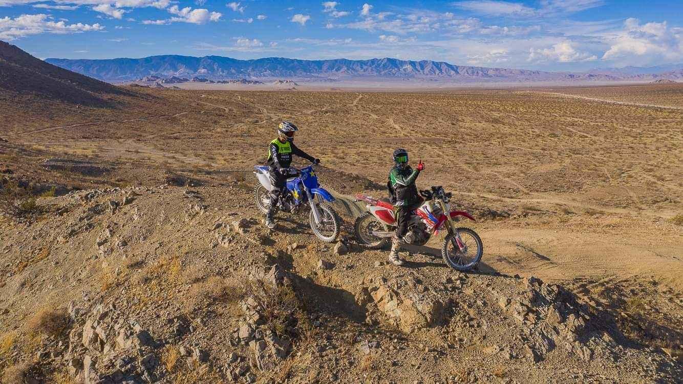
North Barstow to The Husky Memorial
The onX Offroad Difference
onX Offroad combines trail photos, descriptions, difficulty ratings, width restrictions, seasonality, and more in a user-friendly interface. Available on all devices, with offline access and full compatibility with CarPlay and Android Auto. Discover what you’re missing today!
