Little Horn
Total Miles
21.4
Technical Rating
Best Time
Spring, Summer, Fall
Trail Type
Full-Width Road
Accessible By
Trail Overview
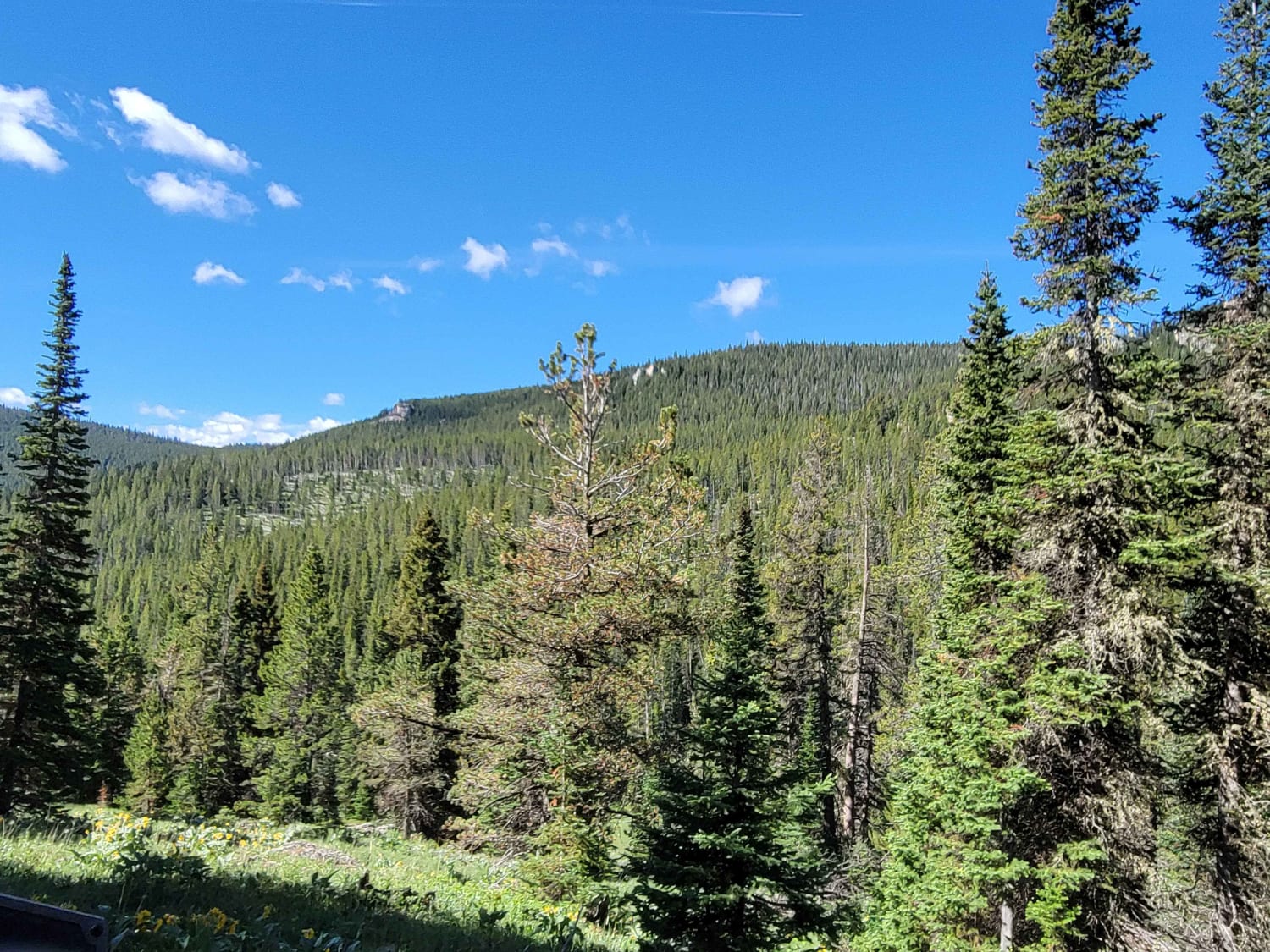
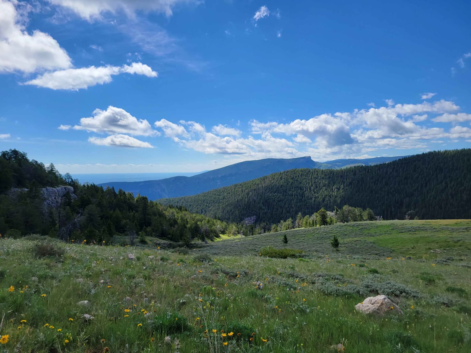
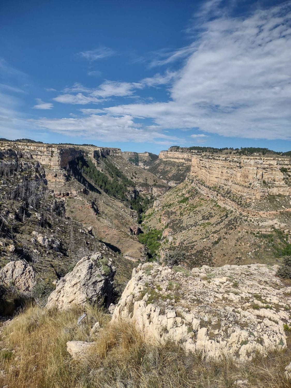
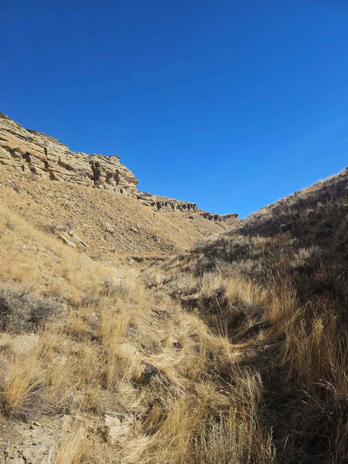
Shorter trail off of Alt. 14 but not short on sight seeing. This trail passes along Dayton Gulch and the Little Bighorn River ultimately coming to a dead end unless you want to switch to non-motorized means. Along the little Bighorn, be sure to look for animals as Moose frequent this lower area. The trail is mostly rock with a few steep climbs and some wet areas.
Photos of Little Horn
Difficulty
The trail looses some width the further you travel back but is by no means too narrow. Most surface is rock or dirt, with the main leading section being gravel up to the point of meeting up with the river.
Popular Trails
Blair Wallis Road
The onX Offroad Difference
onX Offroad combines trail photos, descriptions, difficulty ratings, width restrictions, seasonality, and more in a user-friendly interface. Available on all devices, with offline access and full compatibility with CarPlay and Android Auto. Discover what you’re missing today!
