Deer Hollow-K2155
Total Miles
2.7
Elevation
1,760.02 ft
Duration
1 Hours
Technical Rating
Best Time
Spring, Fall, Summer, Winter
Trail Overview
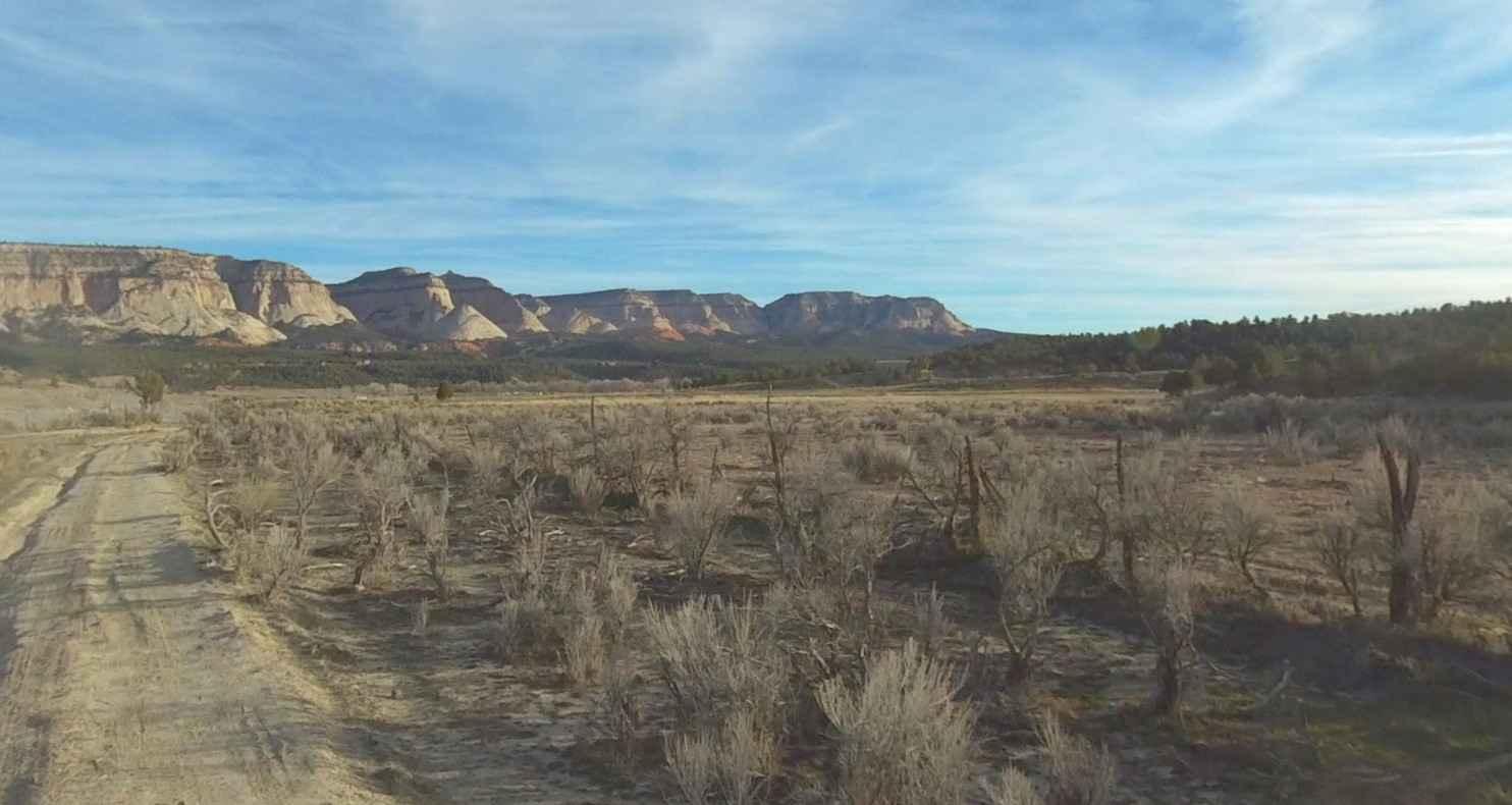
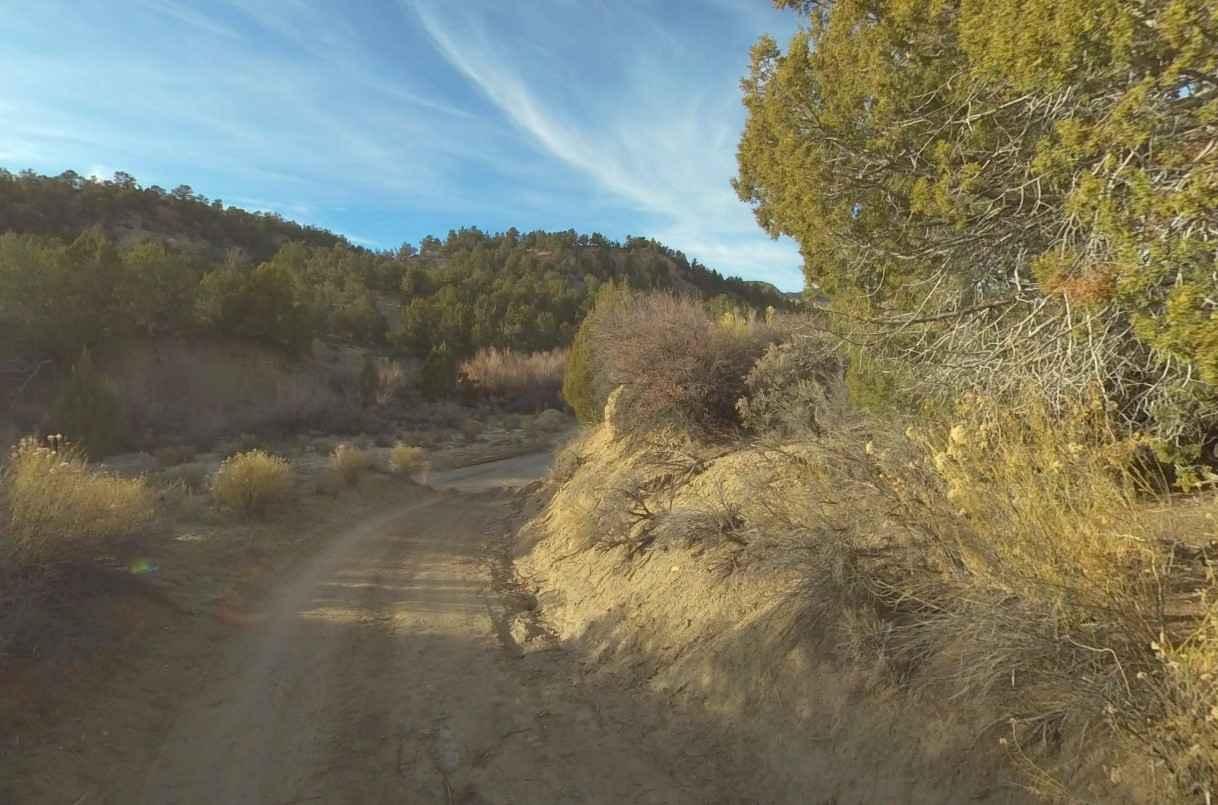
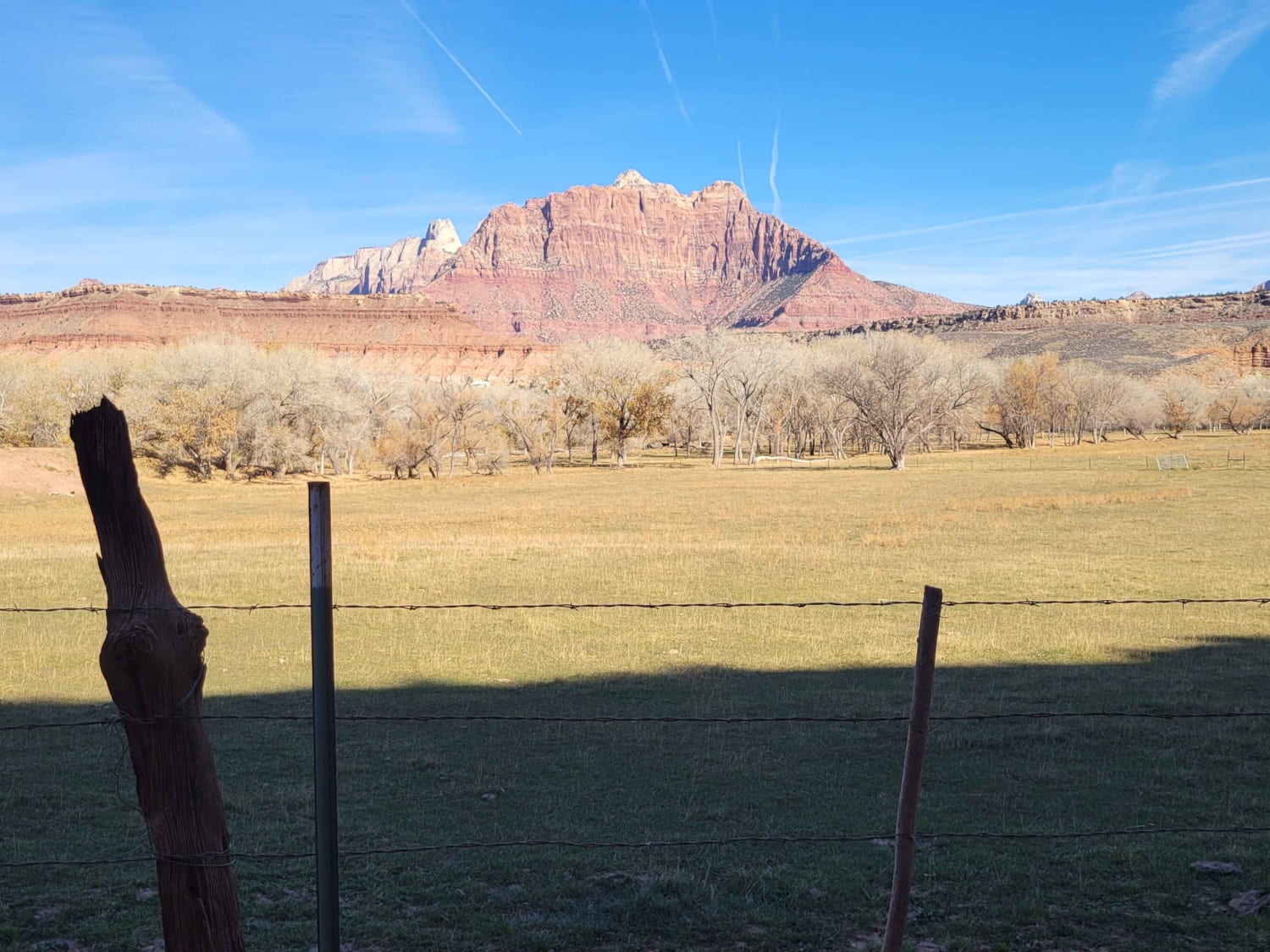
Deer Hollow-K2155 is a 2.7-mile point-to-point single track that provides scenic views of the Kanab Cliffs and Sugar Knoll. The trail is rated 3 of 10 due to the potential for deep sand in spots. The trail in conjunction with Twin Hollow-BLM98 and Trail Canyon trails creates a 12-mile loop from Highway 9 west of Mount Carmel Junction to Highway 89 just south of Orderville. This trail is best run in the late afternoon when the sun is past zenith so that the Kanab Cliffs and Sugar Knoll are not in shadow. Cell phone coverage is limited in this area and will probably be lost after a couple of miles on the trail. The nearest services are located in Orderville.
Photos of Deer Hollow-K2155
Difficulty
Trail consisting of loose rocks, dirt, and sand with some slickrock surfaces, mud holes possible, no steps higher than 12". 4WD may be required, aggressive tires a plus.
Status Reports
Popular Trails
Lytle Ranch Road

Forshea Mountain South
The onX Offroad Difference
onX Offroad combines trail photos, descriptions, difficulty ratings, width restrictions, seasonality, and more in a user-friendly interface. Available on all devices, with offline access and full compatibility with CarPlay and Android Auto. Discover what you’re missing today!