Nicolet State Trail - Bushafer to Wabeno
Total Miles
3.8
Elevation
491.44 ft
Duration
0.25 Hours
Technical Rating
Best Time
Spring, Summer, Fall
Trail Overview
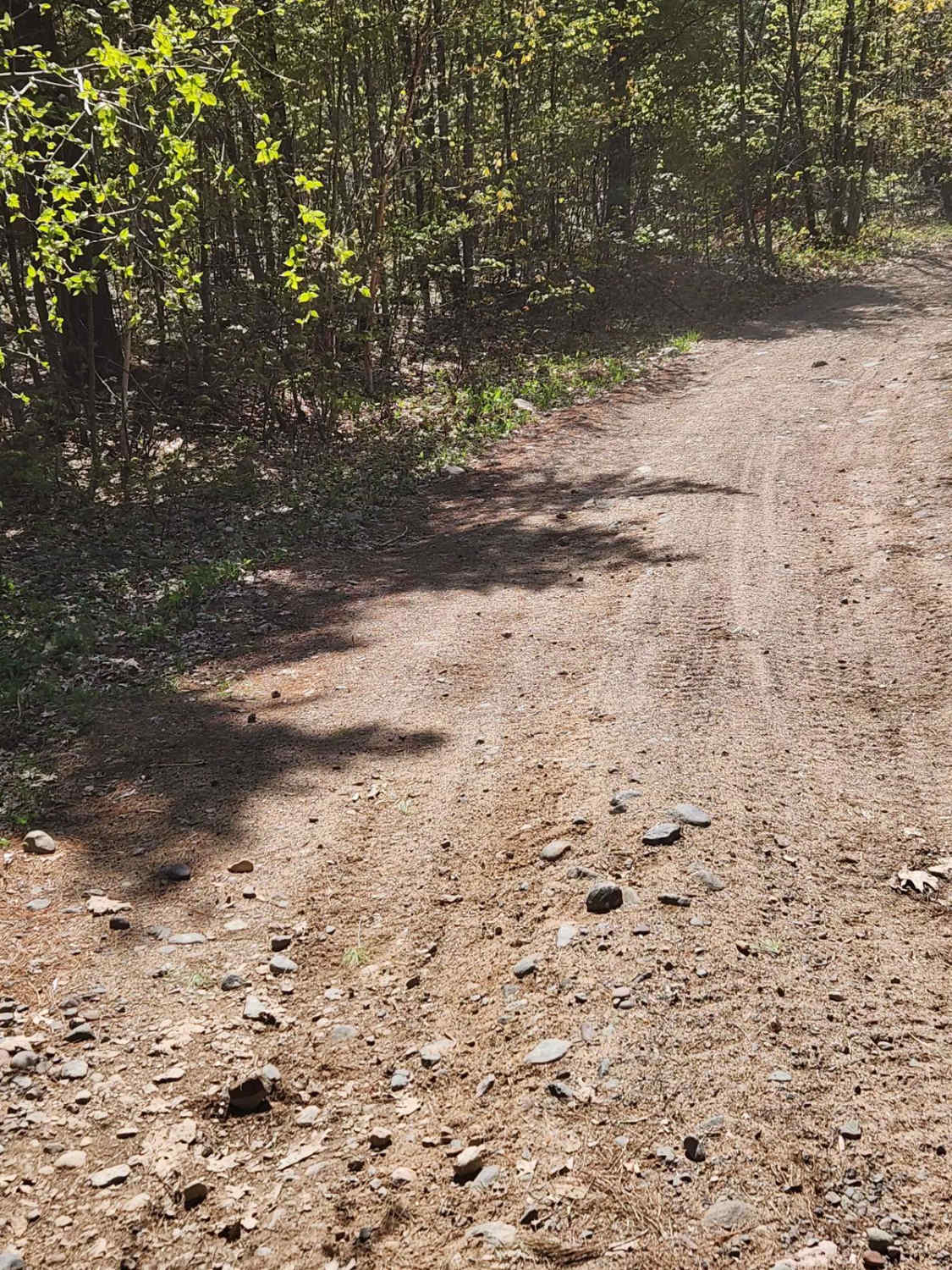
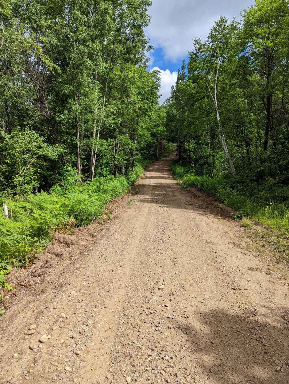
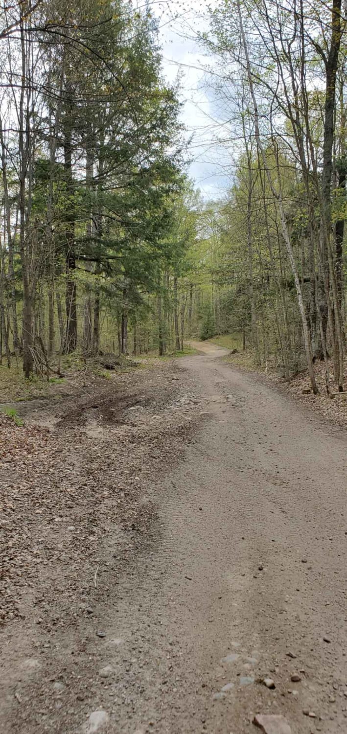
This is an easy railroad grade that takes over the end of Bushafer and can take you far north or quickly south into Wabeno for some food, drinks, and fuel, You can continue for many more miles. The short spur has a large gravel and rock base with a few road crossings that you need to stop for, so watch your speed.
Photos of Nicolet State Trail - Bushafer to Wabeno
Difficulty
This trail has an easy straight grade. Some areas have large rocks capable of puncturing tires. You should have no issues meeting oncoming traffic.
Status Reports
Popular Trails
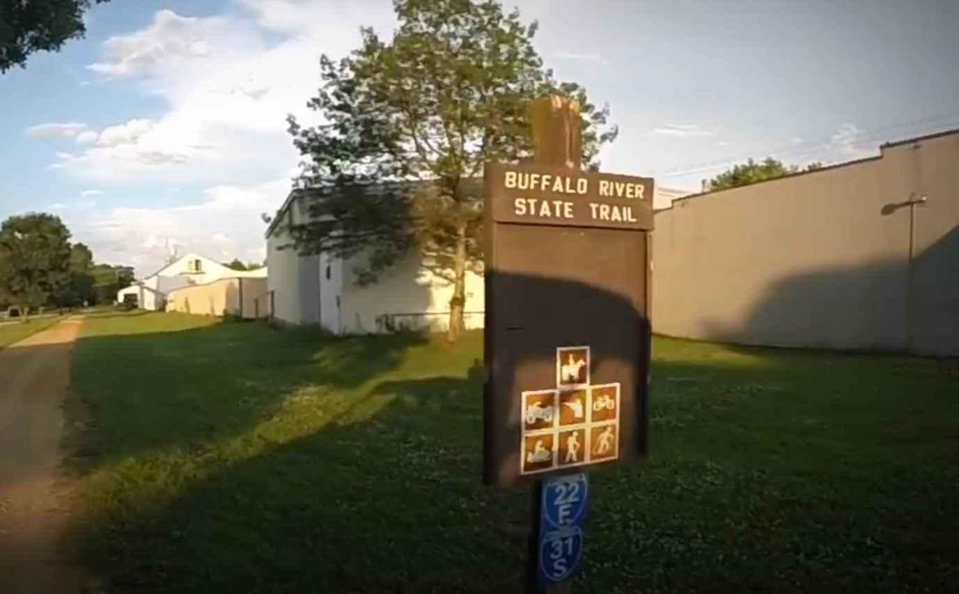
BRST: Fairchild to Osseo
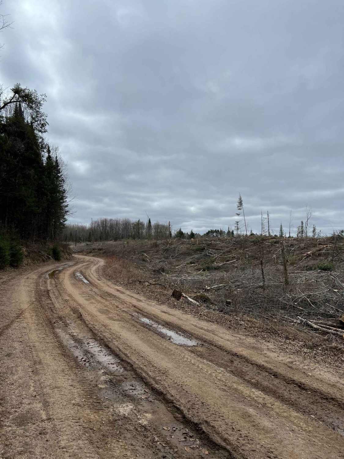
Wolf River to Junction 22A
Pelcho Cut Across
Near north trails
The onX Offroad Difference
onX Offroad combines trail photos, descriptions, difficulty ratings, width restrictions, seasonality, and more in a user-friendly interface. Available on all devices, with offline access and full compatibility with CarPlay and Android Auto. Discover what you’re missing today!
