Off-Road Trails in Wisconsin

Discover off-road trails in Wisconsin
Trail Length
Best Time of Year
Sort By
Learn more about #409-425 Pipeline Road to HWY 64 East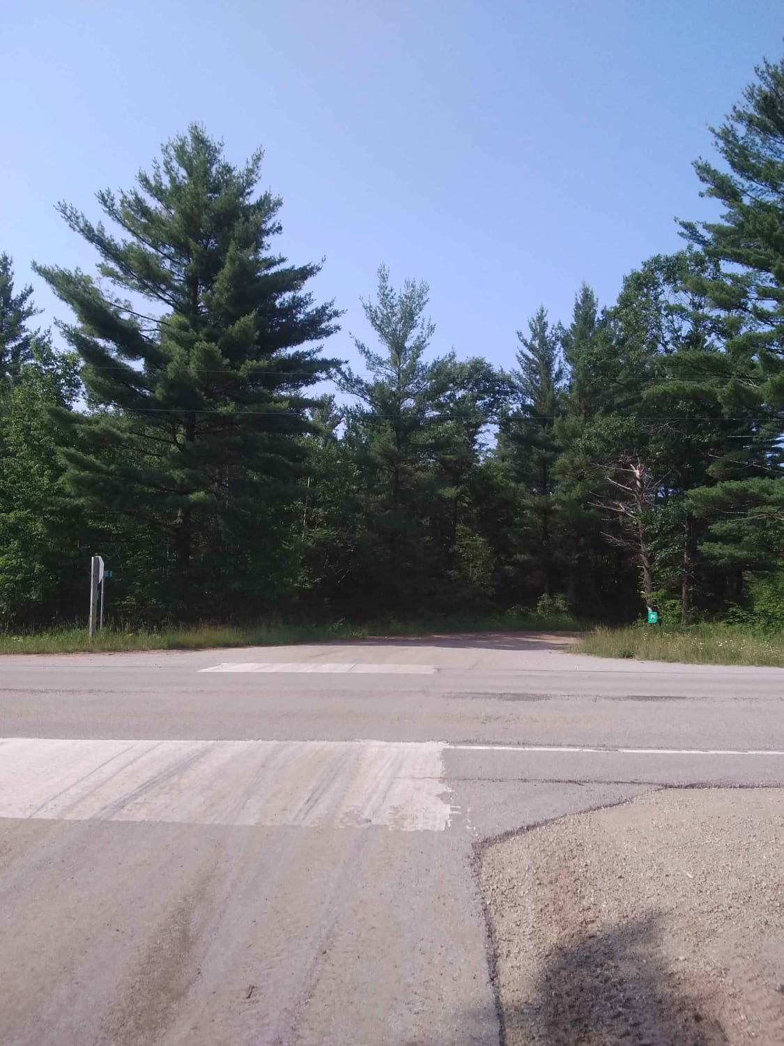
#409-425 Pipeline Road to HWY 64 East
Total Miles
31.2
Tech Rating
Easy
Best Time
Spring, Summer, Fall
Learn more about Ada Lake Camp Route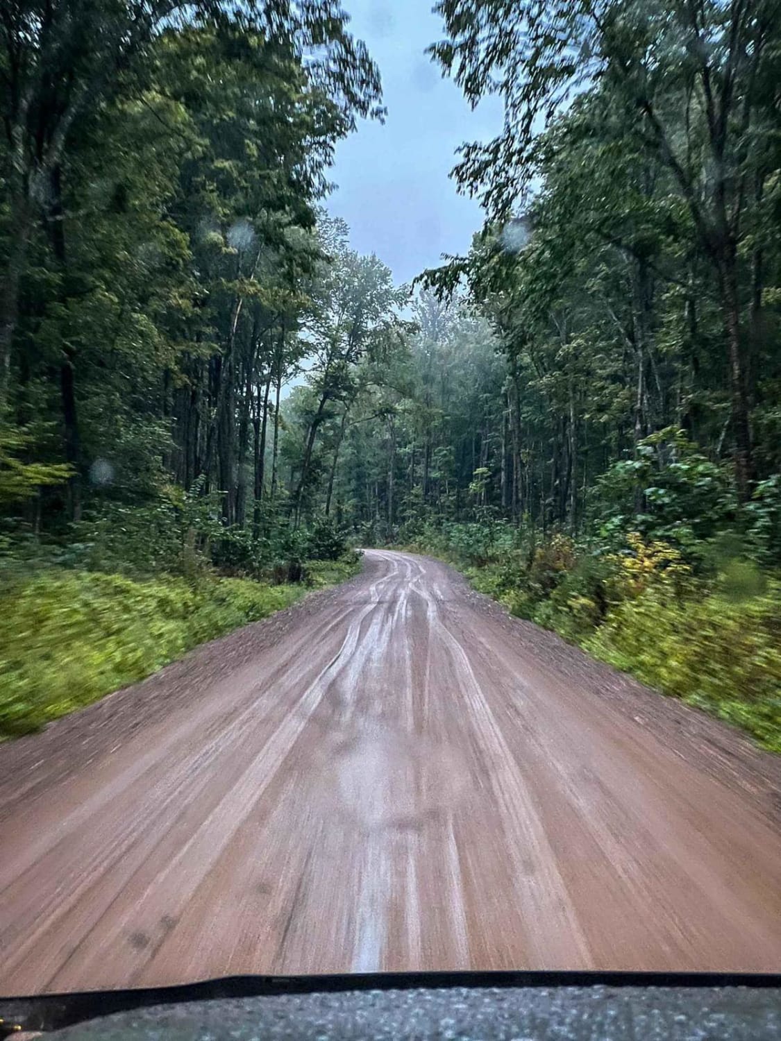
Ada Lake Camp Route
Total Miles
12.7
Tech Rating
Easy
Best Time
Summer, Fall, Spring
Learn more about Barrens Loop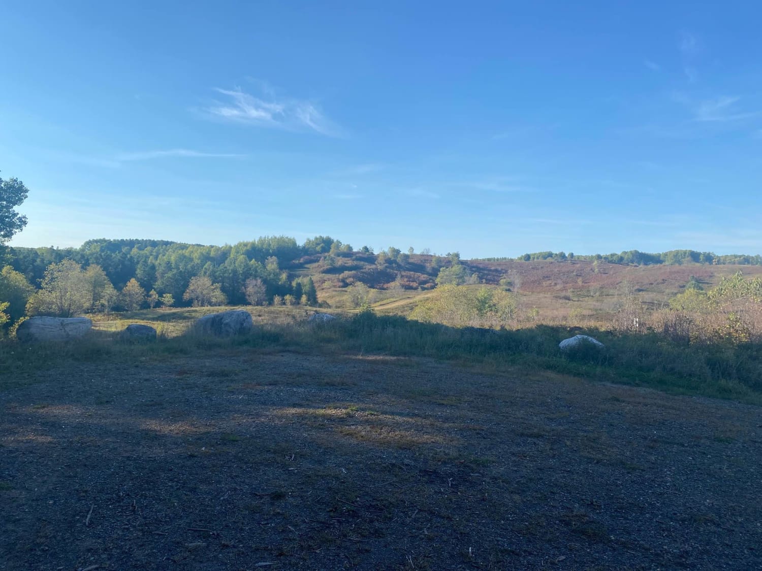
Barrens Loop
Total Miles
2.7
Tech Rating
Easy
Best Time
Summer, Winter, Fall, Spring
Learn more about Barron to Cameron - Blueberry Trail Extension
Barron to Cameron - Blueberry Trail Extension
Total Miles
7.2
Tech Rating
Easy
Best Time
Summer, Fall
Learn more about Bayfield Timber Trail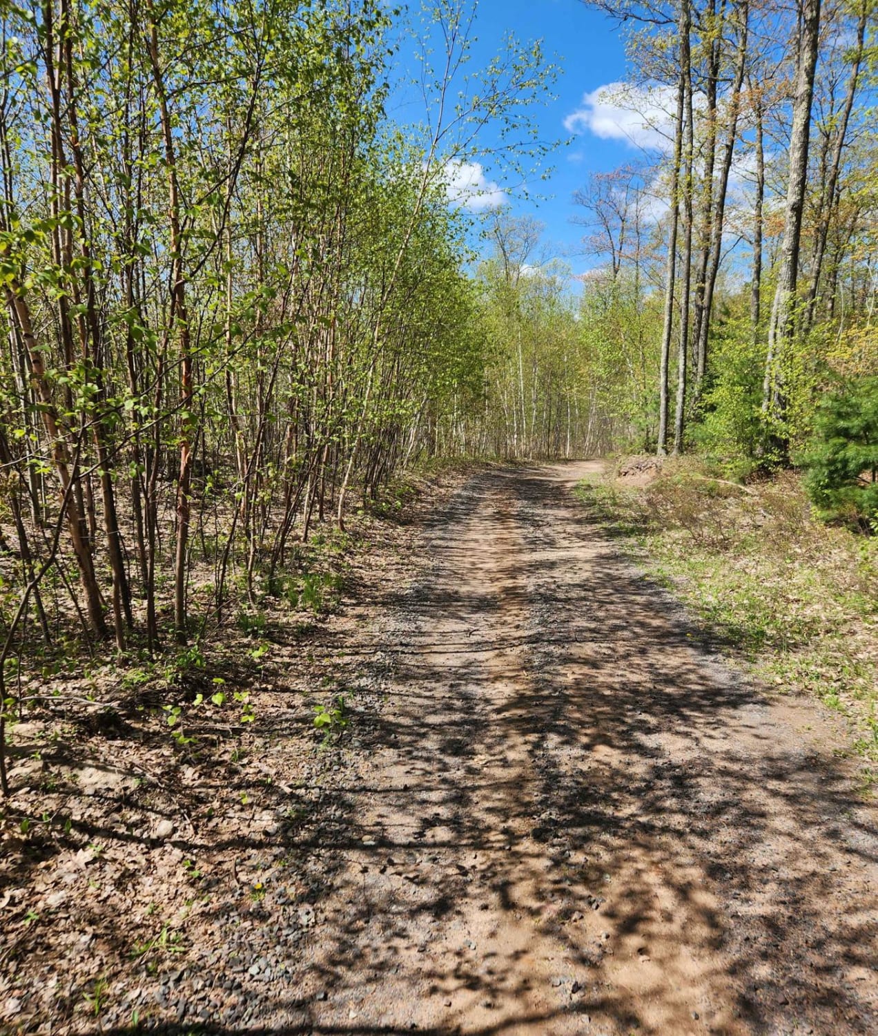
Bayfield Timber Trail
Total Miles
4.2
Tech Rating
Easy
Best Time
Fall, Summer, Spring
Learn more about Bloomer County Forest Trail
Bloomer County Forest Trail
Total Miles
11
Tech Rating
Moderate
Best Time
Fall, Summer
Learn more about Borske Road - FS 2366
Borske Road - FS 2366
Total Miles
2.2
Tech Rating
Easy
Best Time
Spring, Fall, Summer
Learn more about BRST: Eleva to Mondovi
BRST: Eleva to Mondovi
Total Miles
9.4
Tech Rating
Easy
Best Time
Spring, Summer, Fall, Winter
Learn more about BRST: Fairchild to Osseo
BRST: Fairchild to Osseo
Total Miles
13.5
Tech Rating
Easy
Best Time
Spring, Summer, Fall, Winter
Learn more about BRST: Osseo to Sturm
BRST: Osseo to Sturm
Total Miles
8.5
Tech Rating
Easy
Best Time
Spring, Summer, Fall, Winter
Learn more about BRST: Sturm to Eleva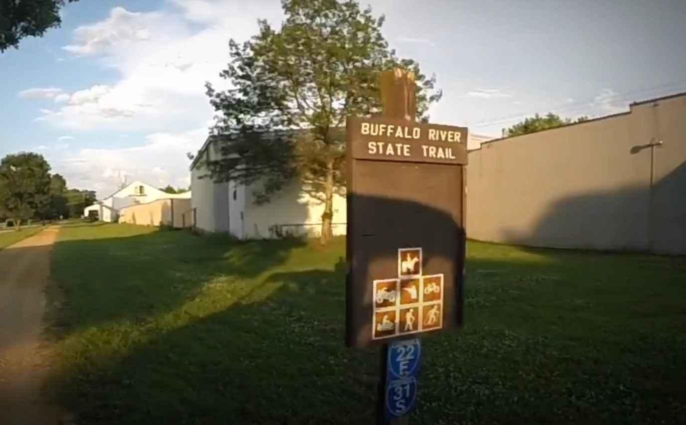
BRST: Sturm to Eleva
Total Miles
4.3
Tech Rating
Easy
Best Time
Spring, Summer, Fall, Winter
Learn more about Burnt Bridge Road - FS 2695
Burnt Bridge Road - FS 2695
Total Miles
4.7
Tech Rating
Easy
Best Time
Summer, Spring, Fall
Learn more about Bushafer 3876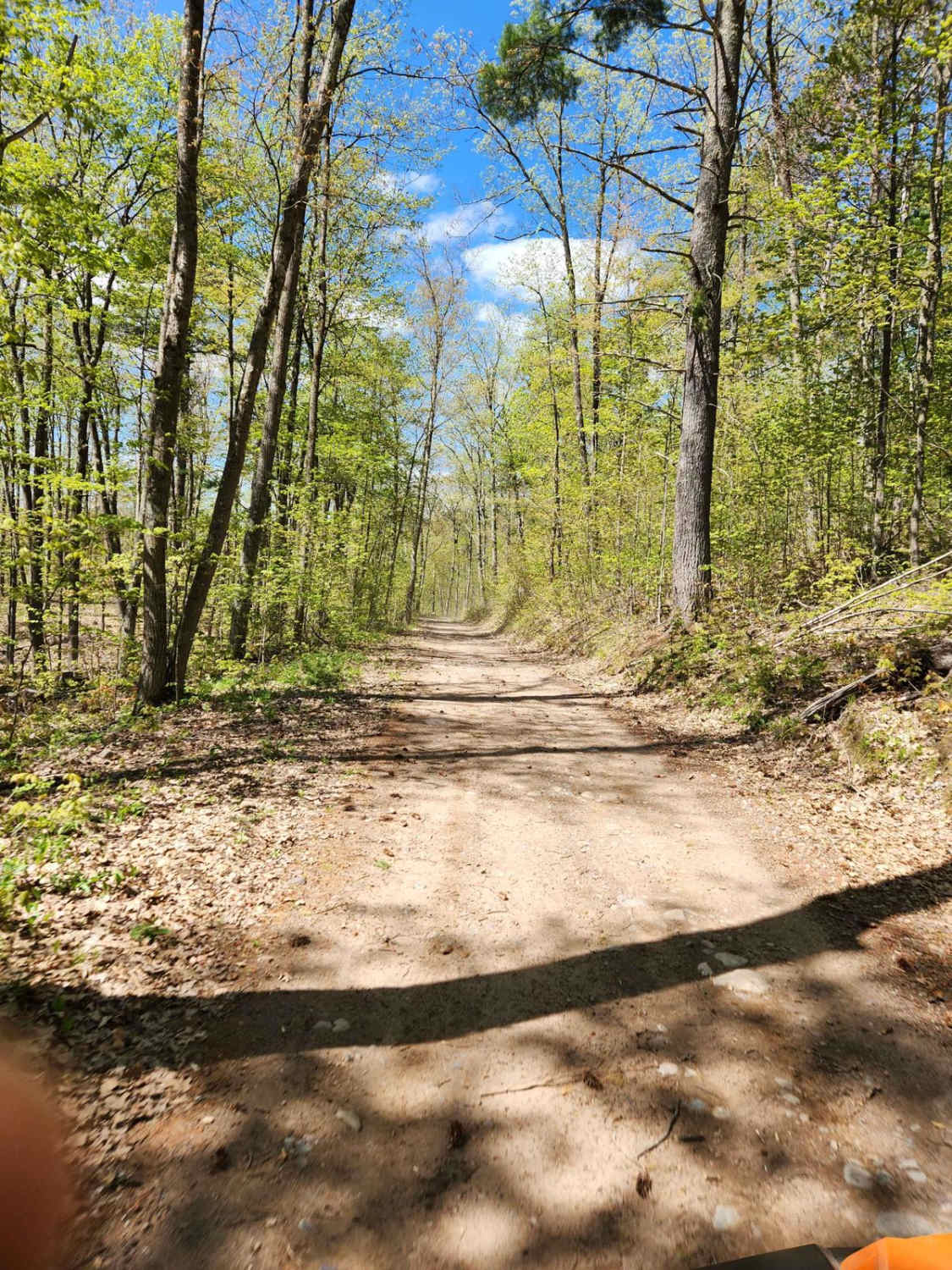
Bushafer 3876
Total Miles
5.1
Tech Rating
Easy
Best Time
Spring, Summer, Fall
Learn more about Butler Rock Loop
Butler Rock Loop
Total Miles
15.7
Tech Rating
Easy
Best Time
Fall, Summer
Learn more about Camp 1 Road - FS 2361
Camp 1 Road - FS 2361
Total Miles
17.4
Tech Rating
Easy
Best Time
Spring, Fall, Summer
Learn more about Cattail State Trail: Amery to Turtle Lake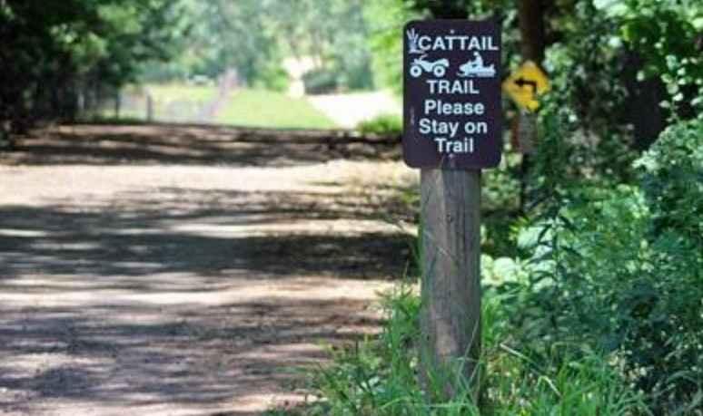
Cattail State Trail: Amery to Turtle Lake
Total Miles
11.8
Tech Rating
Easy
Best Time
Spring, Summer, Fall, Winter
Learn more about Cattail State Trail: Turtle Lake to Almena
Cattail State Trail: Turtle Lake to Almena
Total Miles
6.4
Tech Rating
Easy
Best Time
Spring, Summer, Winter
Learn more about CCRT - Browntown to South Wayne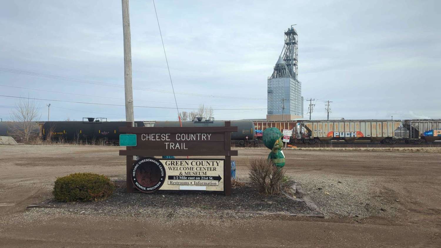
CCRT - Browntown to South Wayne
Total Miles
4.8
Tech Rating
Easy
Best Time
Spring, Summer, Fall, Winter
Viewing 20 of 112
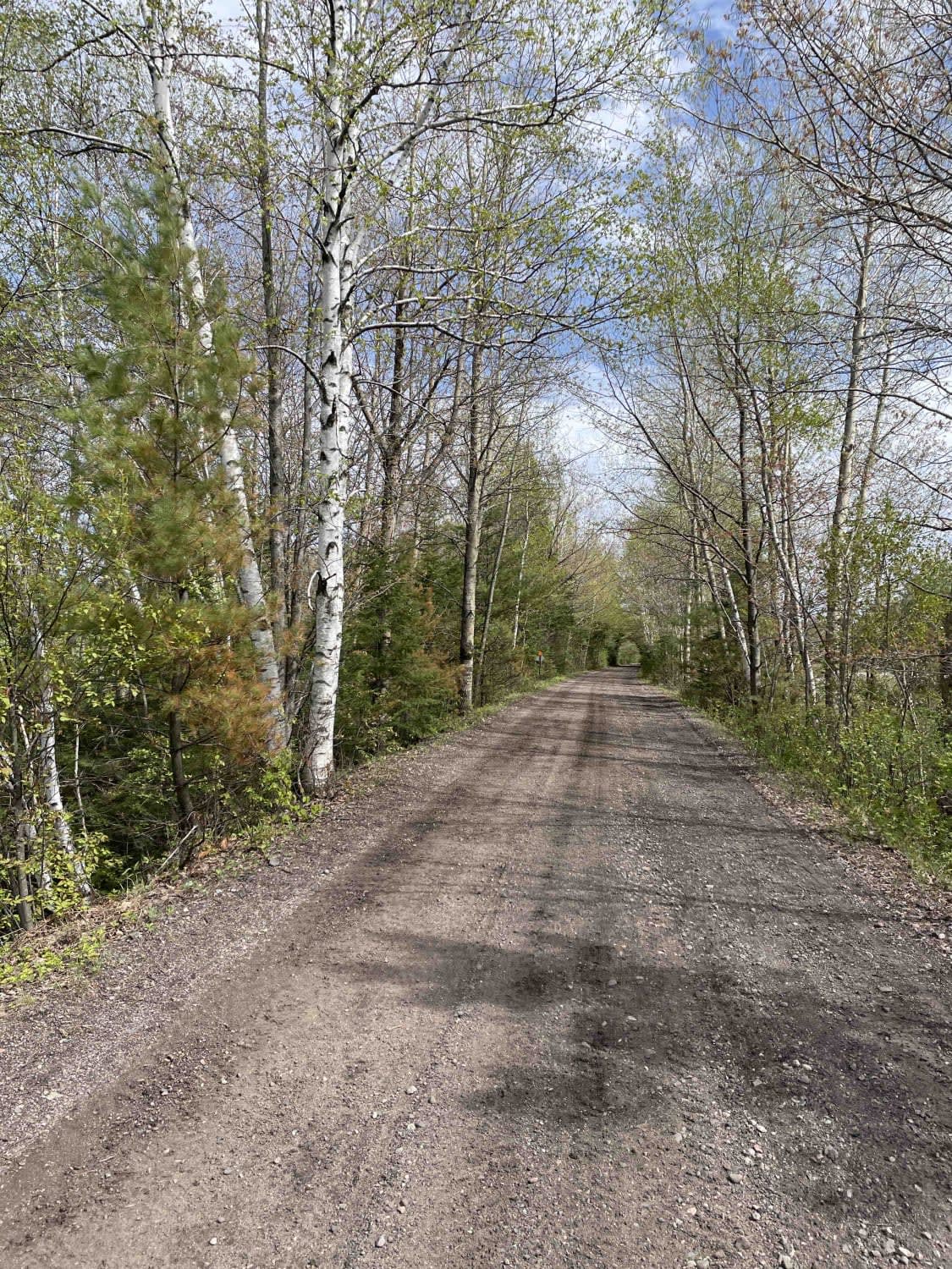
The onX Offroad Difference
onX Offroad combines trail photos, descriptions, difficulty ratings, width restrictions, seasonality, and more in a user-friendly interface. Available on all devices, with offline access and full compatibility with CarPlay and Android Auto. Discover what you’re missing today!