BRST: Osseo to Sturm
Total Miles
8.5
Technical Rating
Best Time
Spring, Summer, Fall, Winter
Trail Type
50" Trail
Accessible By
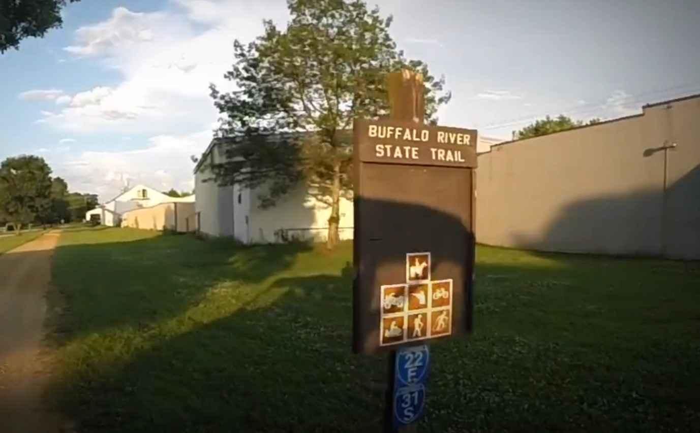
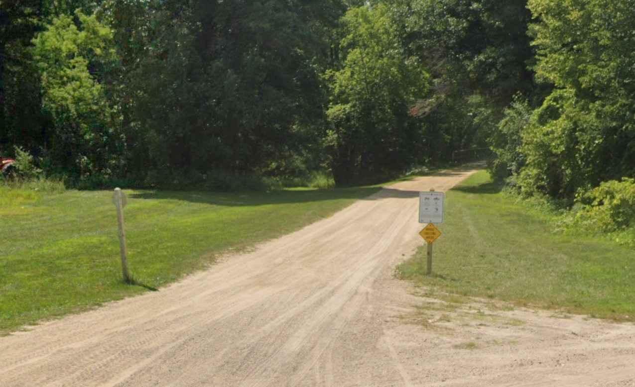
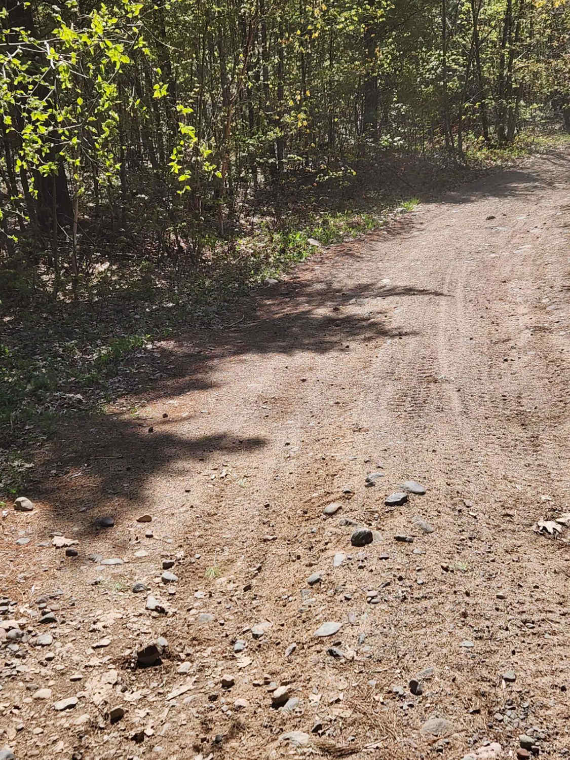
Trail Overview
BRST: Osseo to Sturm is an 8.5-mile point-to-point trail rated 2 of 10 located in Trempealeau County. The trail consists of a combination of railroad ballast and limestone screenings that is fairly smooth and hard-packed and provides scenic views of surrounding farms, making it a good choice for novice riders. The trail has a gentle grade change as it descends from Osseo to Sturm. The majority of this section of the BRST runs through wooded areas and across wetlands. The trail runs along the south side of Highway 10 between Osseo and Sturm. The rail trail closely follows the Buffalo River; however, the winding waterway is mostly obscured by the dense woodlands, hills, and wetlands that contribute to the area's beauty. The Buffalo River State Trail (BSRT) is located in west-central Wisconsin and follows the scenic Buffalo River Valley. The entire trail is 36 miles and runs between the towns of Mondovi and Fairchild. The trail crosses 4 different counties (Buffalo, Trempealeau, Eau Claire, and Jackson). Built on a former railroad corridor, it passes by farmlands, woods, hills, and wetlands while traveling through the communities of Eleva, Strum, and Osseo. All-terrain vehicles (ATVs) and utility-terrain vehicles (UTVs) are allowed on the trail year-round. ATVs and UTVs must stay on the graded portion of the corridor. ATVs, UTVs, and snowmobiles are the only motorized vehicles allowed on the trail. Dirt bikes, motorcycles, and other off-highway vehicles are not allowed on the Buffalo River State Trail. The trail is open year-round and is open to snowmobiles during the winter months. Food and fuel services are available in each of the communities that the trail crosses. Cellphone service is generally good along the entire length of the trail.
Photos of BRST: Osseo to Sturm
Difficulty
This is a well-maintained rail-to-trail with minor elevation change over the trail's length.
History
The river, which lends its name to the trail, was named by early French explorers. They called it Riviere de Beeufs for the many bison that once inhabited the area.
Status Reports
BRST: Osseo to Sturm can be accessed by the following ride types:
- ATV (50")
BRST: Osseo to Sturm Map
Popular Trails

Forest Road 2183 Western Section
Nicolet State Trail - Bushafer to Wabeno

Florence County F2 Lake Emily

Sandy Summit Trail
The onX Offroad Difference
onX Offroad combines trail photos, descriptions, difficulty ratings, width restrictions, seasonality, and more in a user-friendly interface. Available on all devices, with offline access and full compatibility with CarPlay and Android Auto. Discover what you’re missing today!