Timberon Overland Express
Total Miles
79.7
Elevation
2,111.47 ft
Duration
2.5 Hours
Technical Rating
Best Time
Spring, Fall
Trail Overview
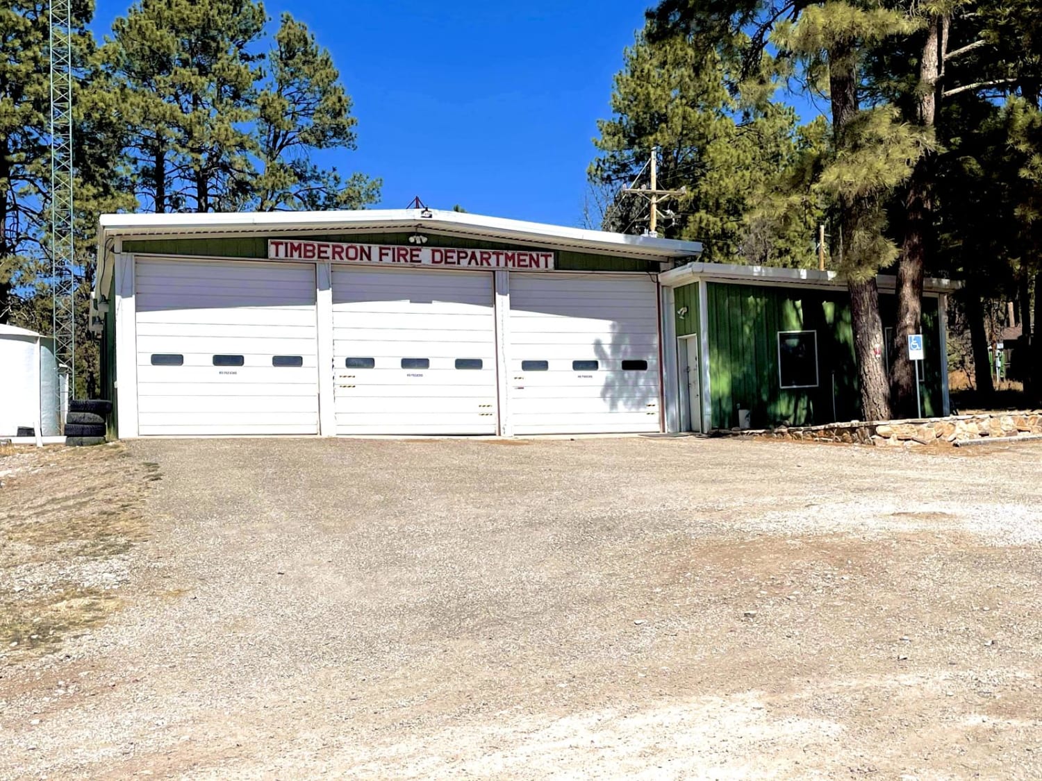
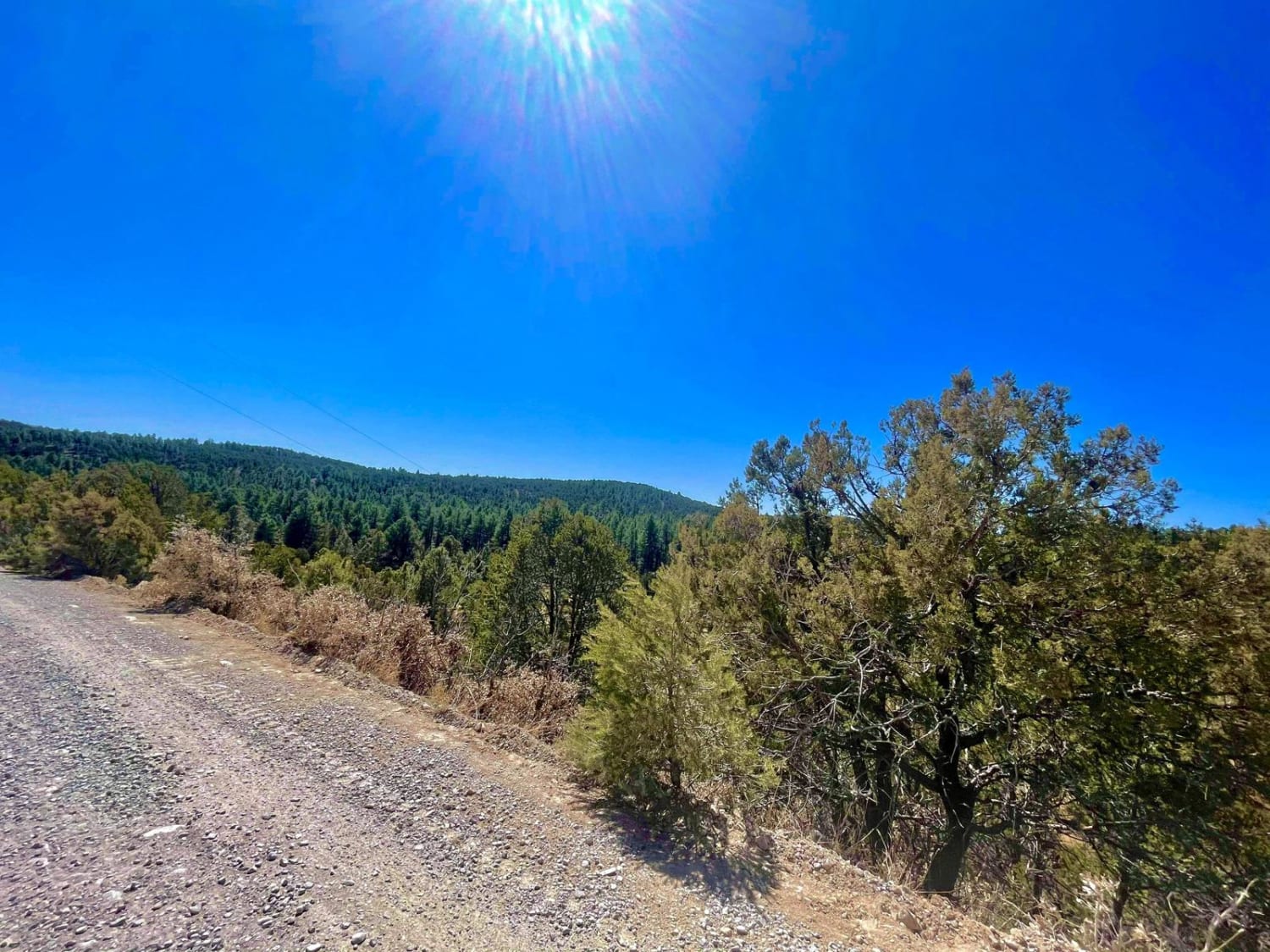
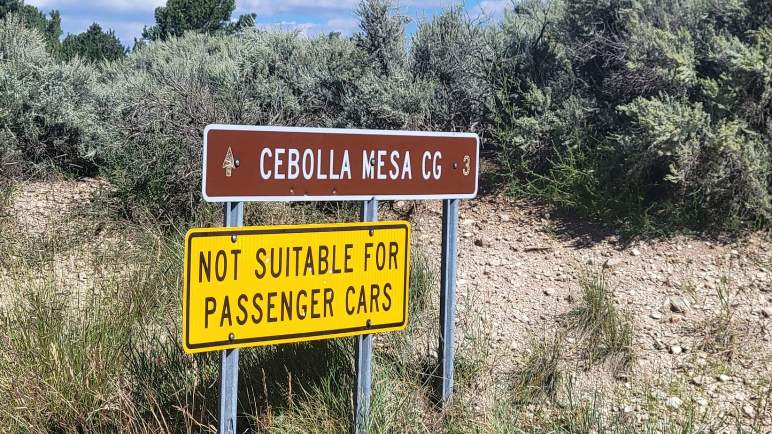
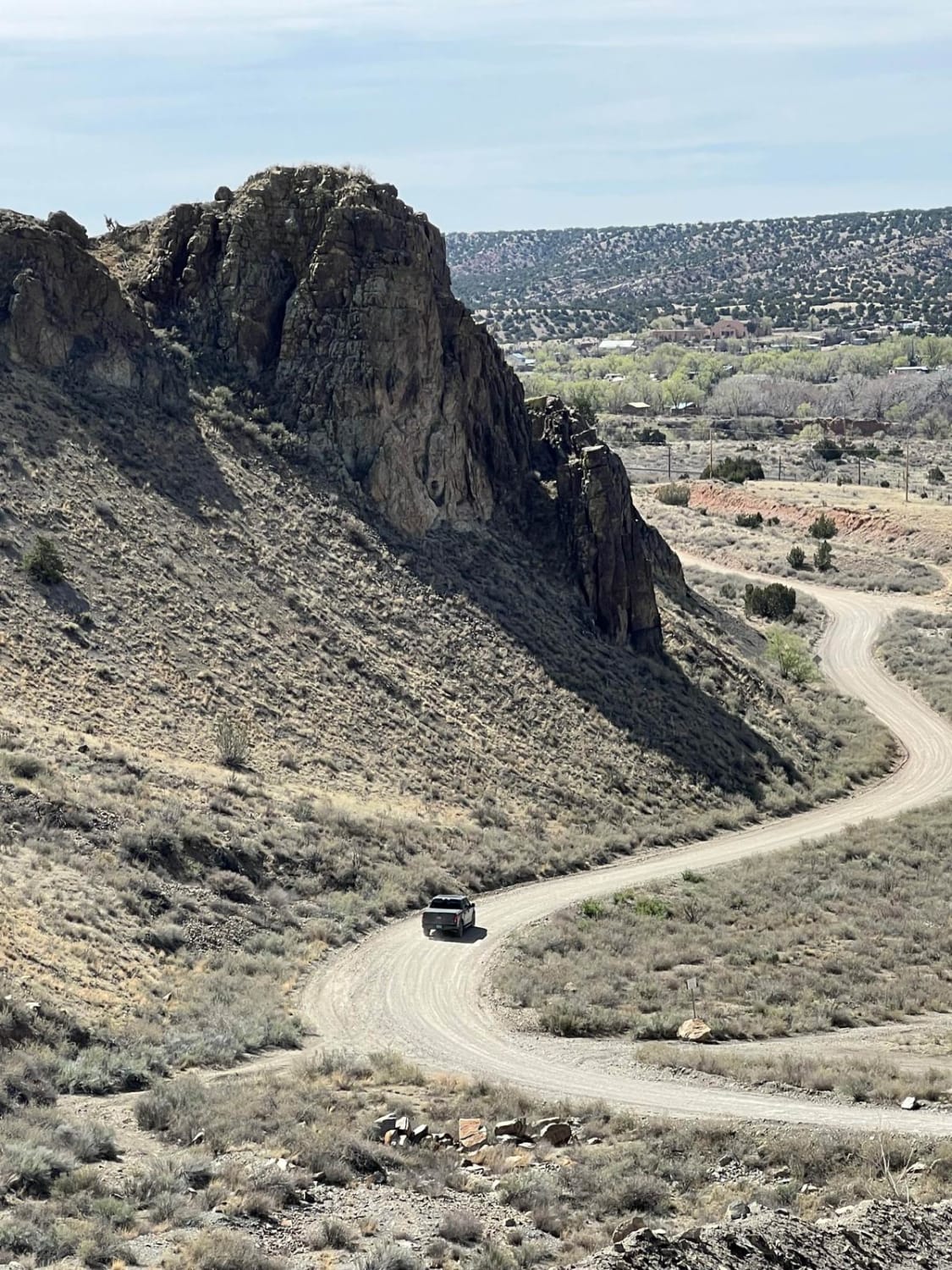
The Timberon Overland Express is a great way to get a taste of overlanding without much preparation. The route can be run in either direction, as the entire trip is on county roads which cross state lines between New Mexico and Texas. You will cross through private ranch land, BLM lands, the Lincoln National Forest and Fort Bliss training grounds. Starting from Texas, you will be greeted with vast and expansive lands; wide open for as long as the eye can see. The roads on the Texas side and much of the New Mexico side are maintained dirt roads, however after rain and snow they become flooded in some areas and impassable, check the weather when traveling. Once you are in the foothills and mountains, you'll cross many washes which will be flooded and a few shelf roads must be traversed to get to the village of Timberon. 4x4 is not required in dry conditions, high clearance is needed in the foothills and mountains as this area is less traveled, and the road consists of large rocks. There are no services and no cell phone coverage for the entire the route. Cell phone signal will return once closer to the Village of Cloudcroft NM, some 22 miles north of Timberon.
Photos of Timberon Overland Express
Difficulty
90% of this trail is easy when dry, with properly aired-down, and heavy sidewall tires. The last 10% of the trail goes through canyons, washes and shelf roads. While all still county roads, after rain and snow they become slick, and sometimes unpassable for smaller crossover based vehicles.
Status Reports
Popular Trails
Tower Peak via Rosedale Road

Ol'Skool
Where is Waldo?
The onX Offroad Difference
onX Offroad combines trail photos, descriptions, difficulty ratings, width restrictions, seasonality, and more in a user-friendly interface. Available on all devices, with offline access and full compatibility with CarPlay and Android Auto. Discover what you’re missing today!
