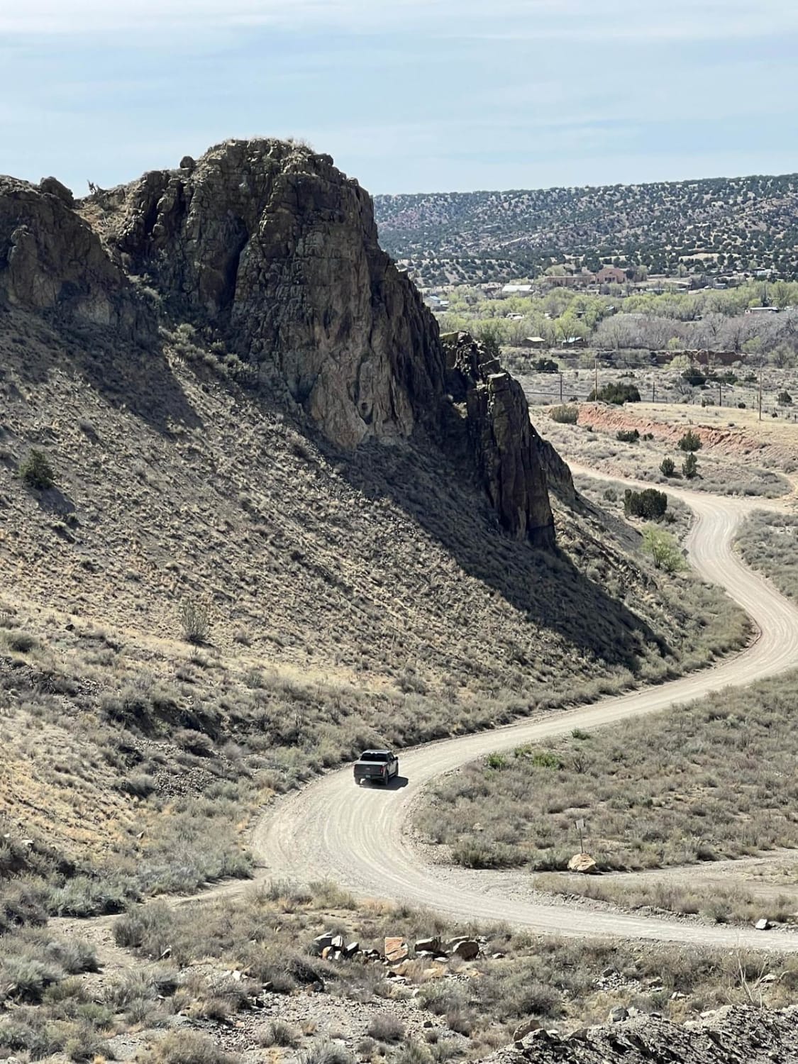
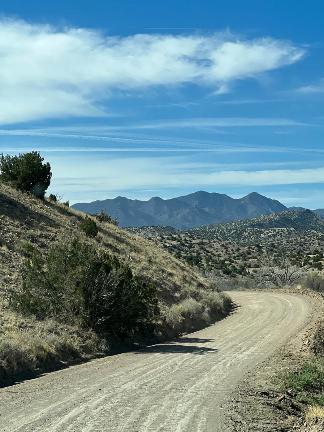
Where is Waldo?
Total Miles
7.7
Technical Rating
Best Time
Spring, Summer, Fall, Winter
Trail Type
Full-Width Road
Accessible By
Trail Overview
This is an easy route that connects I-25 at the top of La Bajada Hill with Highway 14 at the Village of Cerrillos. For many years, there was a well-marked turnoff to Waldo on I-25. But where is Waldo and what is Waldo? All that remains of the ghost town is a cement foundation along the railroad tracks and a canyon that bears the Waldo name. The town was named for Henry L. Waldo, a New Mexico territorial jurist in the 1870s. There was coal mining in the area that shut down in 1906. There were also 15 coke ovens along the railroad tracks that supplied the trains. Coke is a type of fuel that burns hotter than either bituminous or anthracite coal.
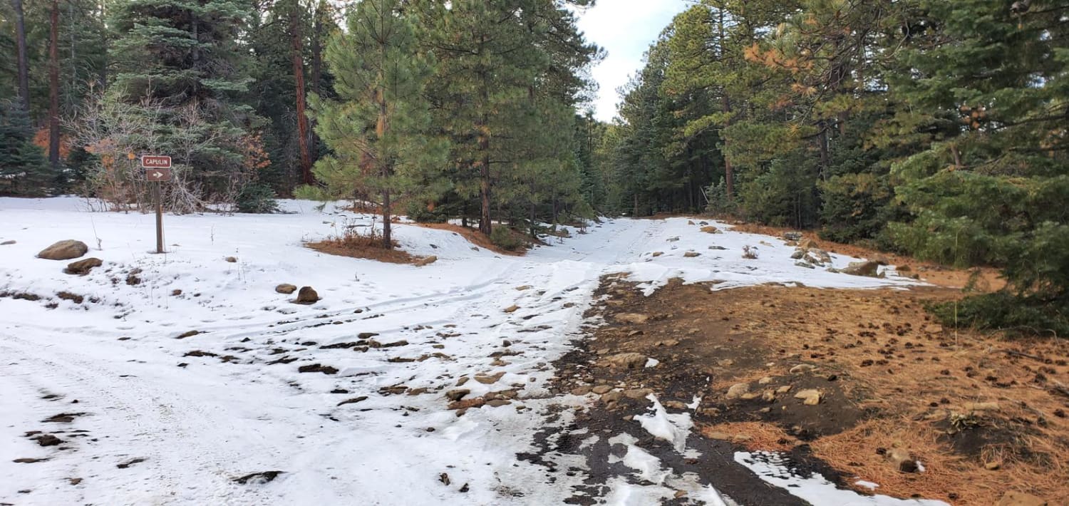
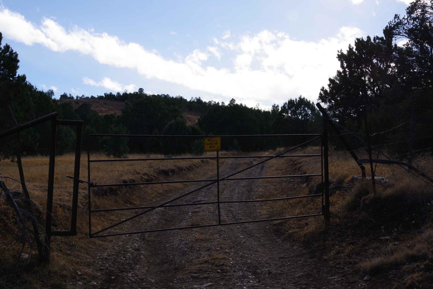
Photos of Where is Waldo?
Difficulty
This easy year-round route does have some low water areas and deep sand.
Status Reports
Where is Waldo? can be accessed by the following ride types:
- High-Clearance 4x4
- SUV
- SxS (60")
- ATV (50")
- Dirt Bike
Where is Waldo? Map
Popular Trails
Gallinas Palisade
Five Mile Pass

Bear Trail
The onX Offroad Difference
onX Offroad combines trail photos, descriptions, difficulty ratings, width restrictions, seasonality, and more in a user-friendly interface. Available on all devices, with offline access and full compatibility with CarPlay and Android Auto. Discover what you’re missing today!
