Moore Lake-St.Regis
Total Miles
27.5
Elevation
1,924.45 ft
Duration
1 Hours
Technical Rating
Best Time
Spring, Summer, Fall
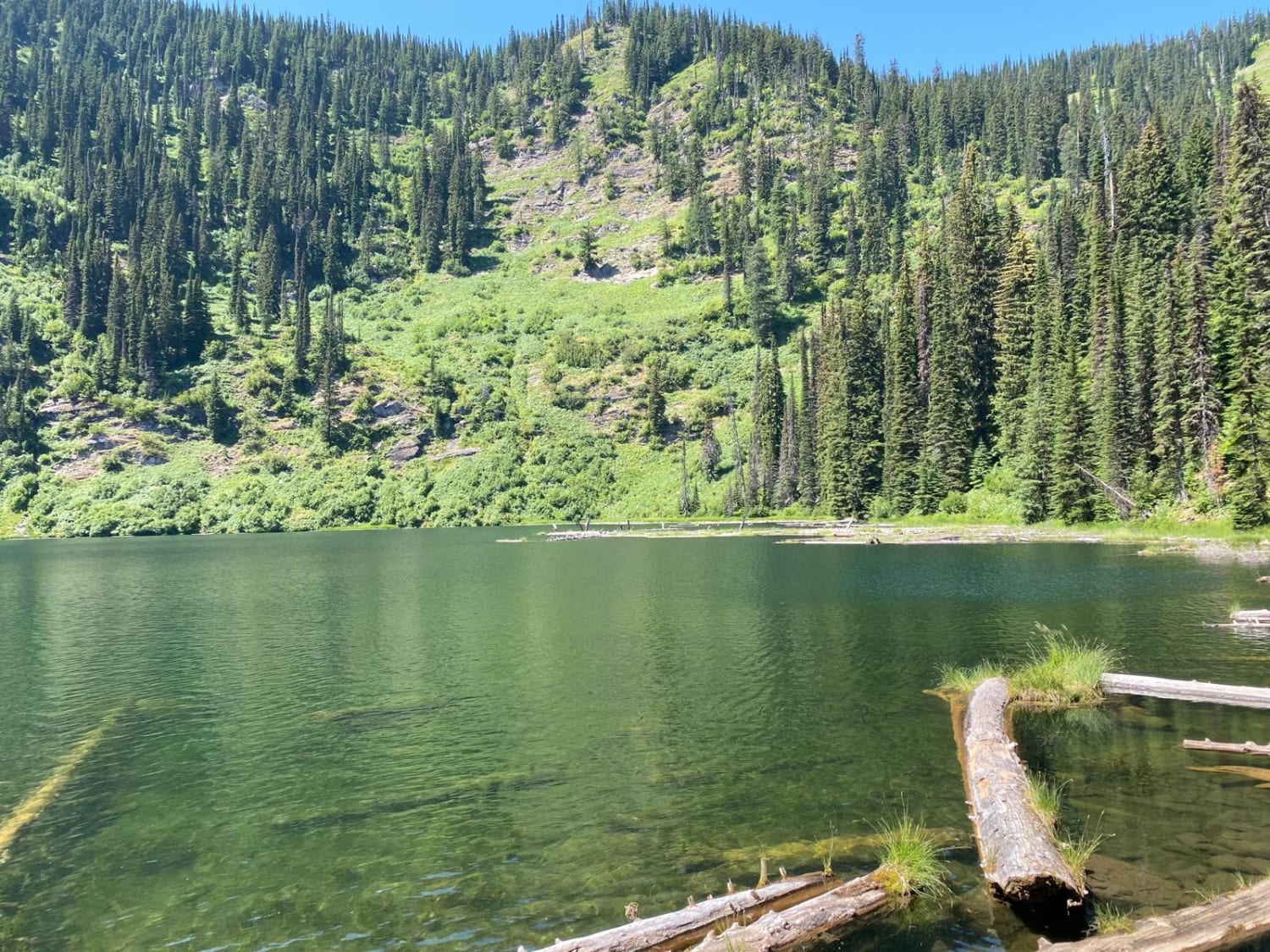
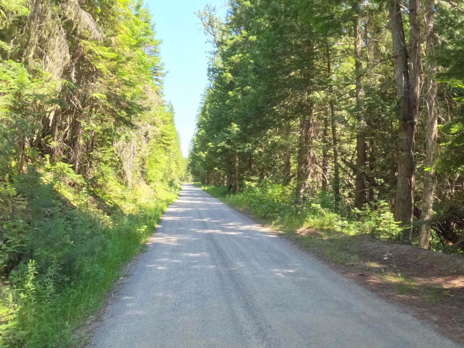
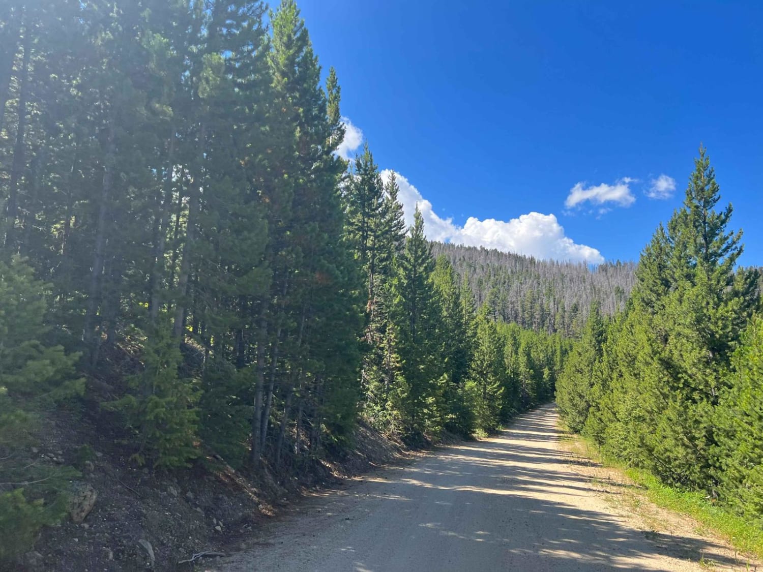
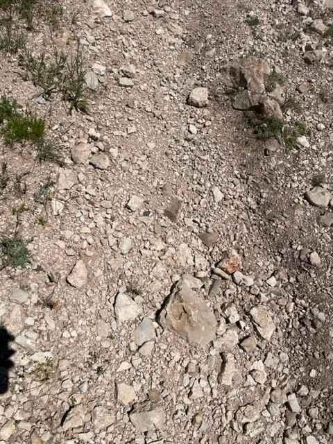
Trail Overview
The beginning of the route is a one-way dirt road that eventually turns to two lanes. There are places to pass along the one-way sections. The route has many sharp curves and sections of loose sharp rocks. The route passes through some very large cedar trees, but mostly pine forests. The route can be very dusty during dry conditions. Offline Maps of the area will need to be downloaded. For the most part, you will be traveling downhill from 5,400 to 2,700 feet.
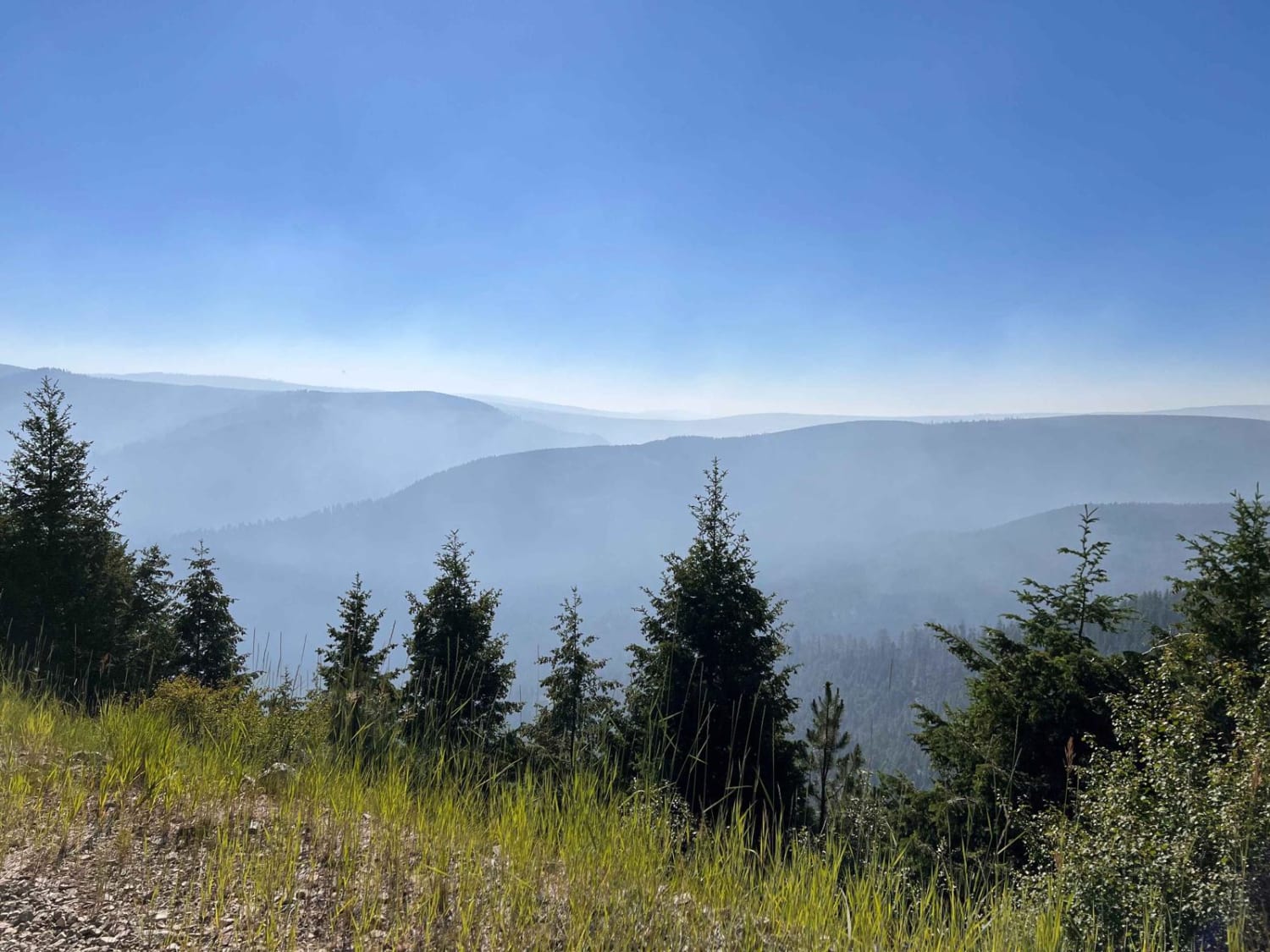
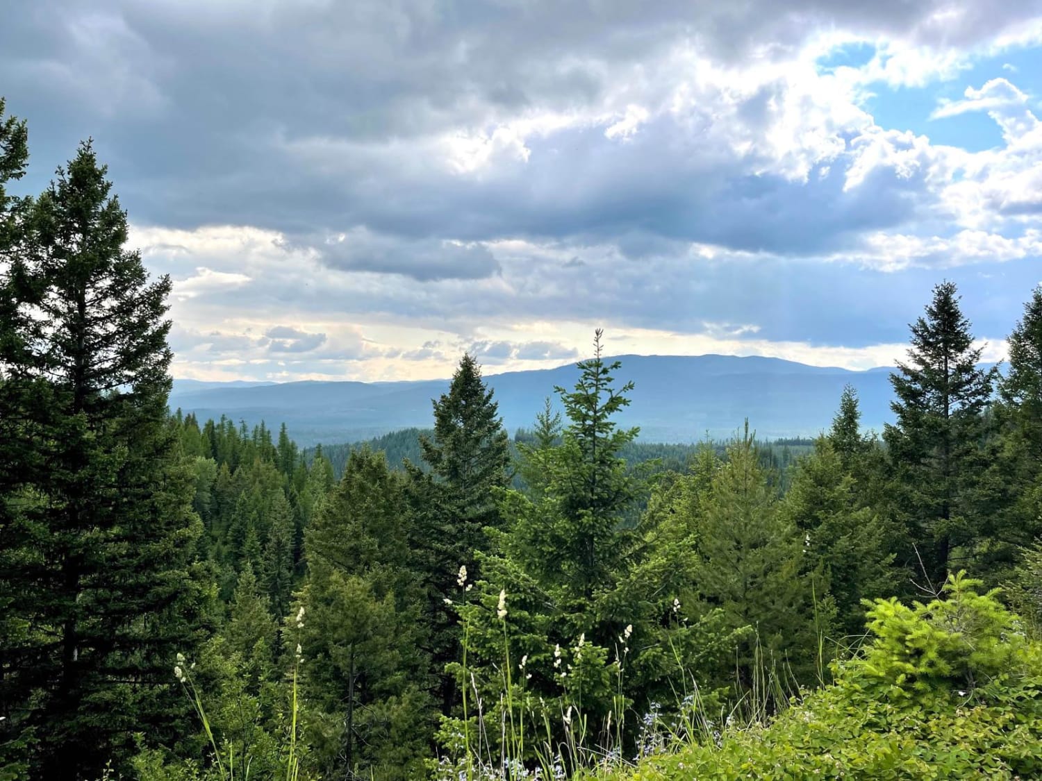
Photos of Moore Lake-St.Regis
Difficulty
This trail can be very dusty during dry conditions. Sharp blind corners with steep drop-offs can be encountered along the route. Loose sharp rocks are on parts of the route as well.
Popular Trails
Virginia Creek (1249)
King Trail #2011
Porcupine Saddle
Findell Creek
The onX Offroad Difference
onX Offroad combines trail photos, descriptions, difficulty ratings, width restrictions, seasonality, and more in a user-friendly interface. Available on all devices, with offline access and full compatibility with CarPlay and Android Auto. Discover what you’re missing today!