King Trail #2011
Total Miles
3.6
Technical Rating
Best Time
Spring, Summer, Fall
Trail Type
Full-Width Road
Accessible By
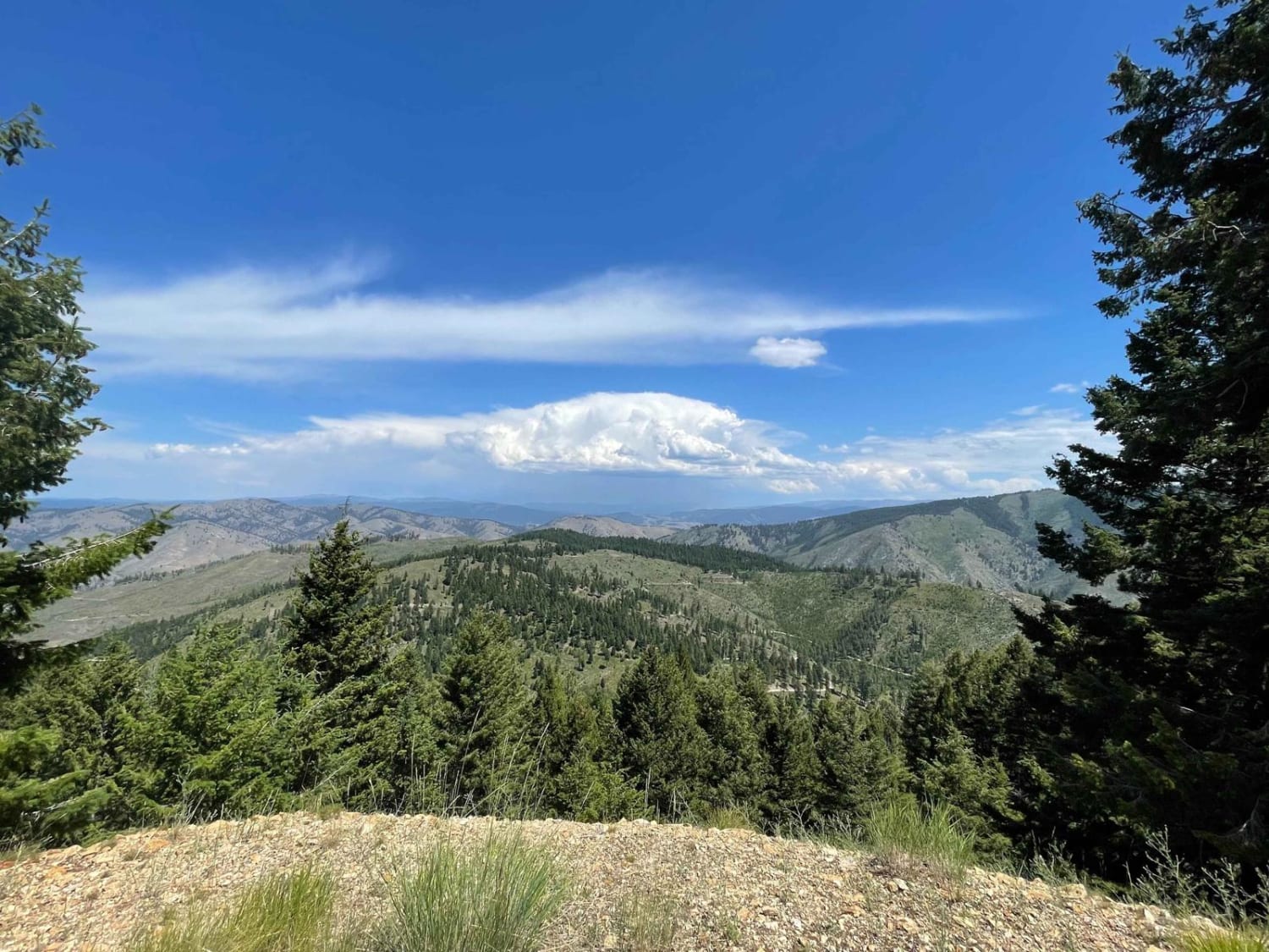
Trail Overview
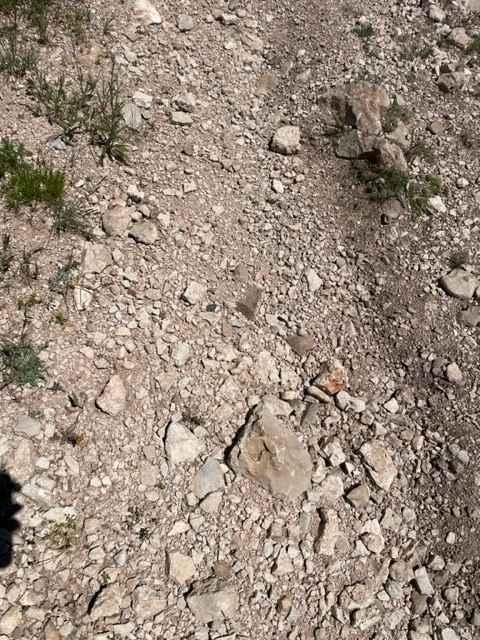
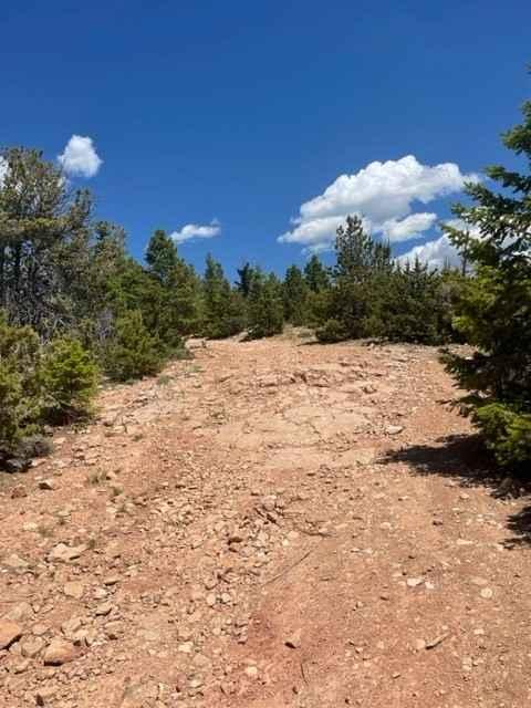
King Trail is one of the more challenging routes to get to the top of Pryor Mountain. It is a rugged road that leads up to Stockman Trail and others. It has several steep, loose climbs that will require 4WD and possibly some lift to clear a couple of 18" ledges.
Photos of King Trail #2011
Difficulty
Several 18" ledges to ascend.
Status Reports
King Trail #2011 can be accessed by the following ride types:
- High-Clearance 4x4
- SUV
- SxS (60")
- ATV (50")
- Dirt Bike
King Trail #2011 Map
Popular Trails
Wild Bill Saddle

Medicine Point Trailhead
The onX Offroad Difference
onX Offroad combines trail photos, descriptions, difficulty ratings, width restrictions, seasonality, and more in a user-friendly interface. Available on all devices, with offline access and full compatibility with CarPlay and Android Auto. Discover what you’re missing today!