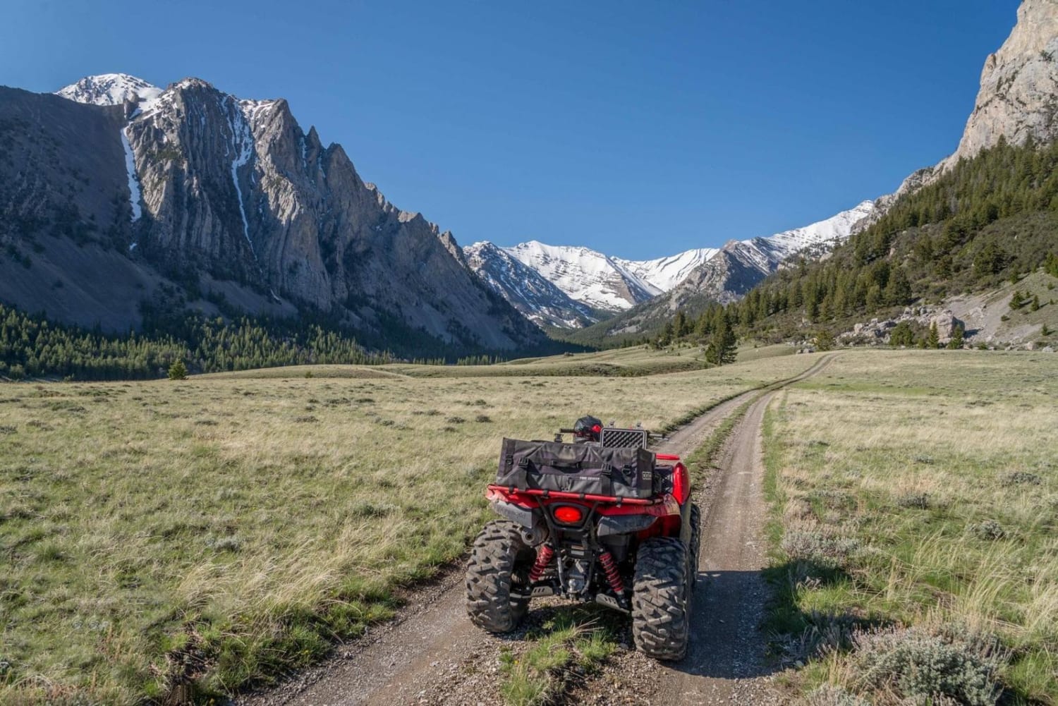
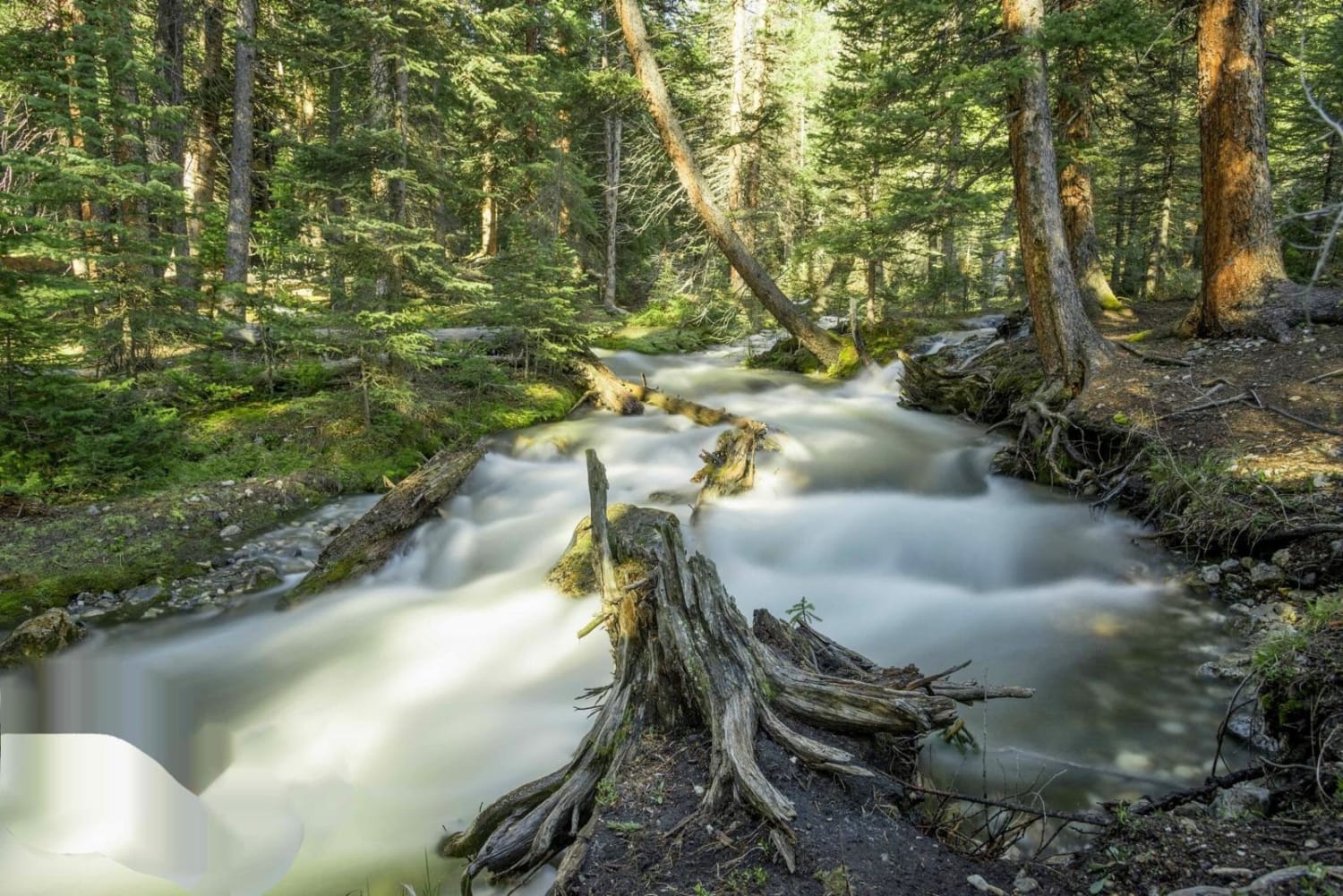
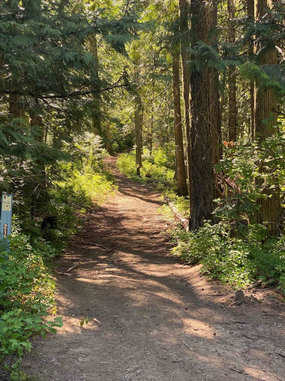
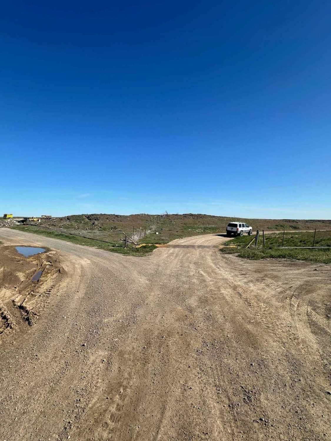
Upper Pahsimeroi River
Total Miles
11.0
Elevation
2,505.72 ft
Duration
--
Technical Rating
Best Time
Summer, Fall
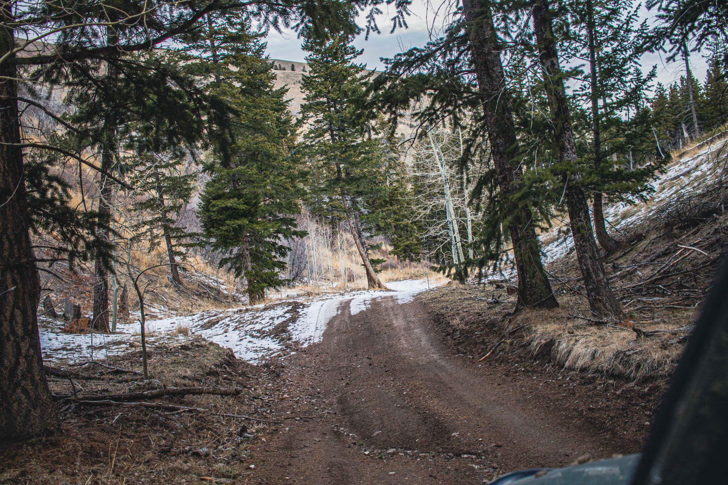
Trail Overview
The Upper Pahsimeroi River is absolutely beautiful. It is affectionately known as the 'Swiss Alps' by the locals. There are many hiking trails up into the wilderness areas of the Lost River Range. This area shows the highest peaks of the Lost River Range which is the highest in Idaho at more than 12,000 feet. This area is located close to Mackay, Idaho, which makes a great basecamp for exploring here. There are two ways to reach here from Mackay. They are Pass Creek and Doublespring Pass. The road is rocky and slow, but not overly difficult.
Photos of Upper Pahsimeroi River
Popular Trails
Wheelbarrow Mine

Peterson Creek Trail
Black Pine Canyon
The onX Offroad Difference
onX Offroad combines trail photos, descriptions, difficulty ratings, width restrictions, seasonality, and more in a user-friendly interface. Available on all devices, with offline access and full compatibility with CarPlay and Android Auto. Discover what you’re missing today!