3 to A Road
Total Miles
0.7
Elevation
148.30 ft
Duration
0.5 Hours
Technical Rating
Best Time
Spring, Summer, Fall, Winter
Trail Overview
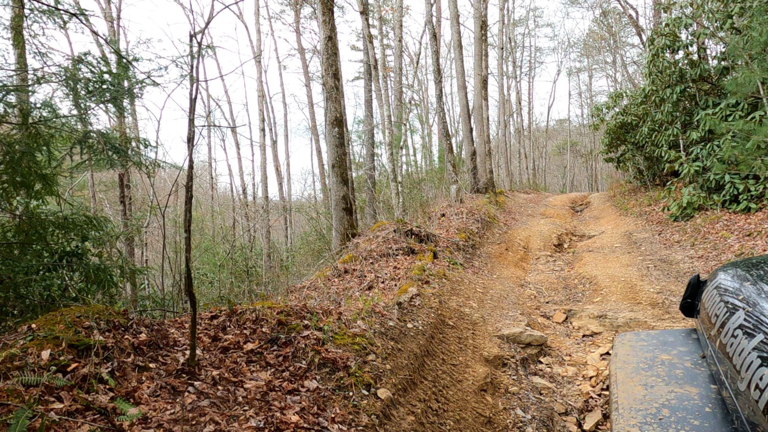
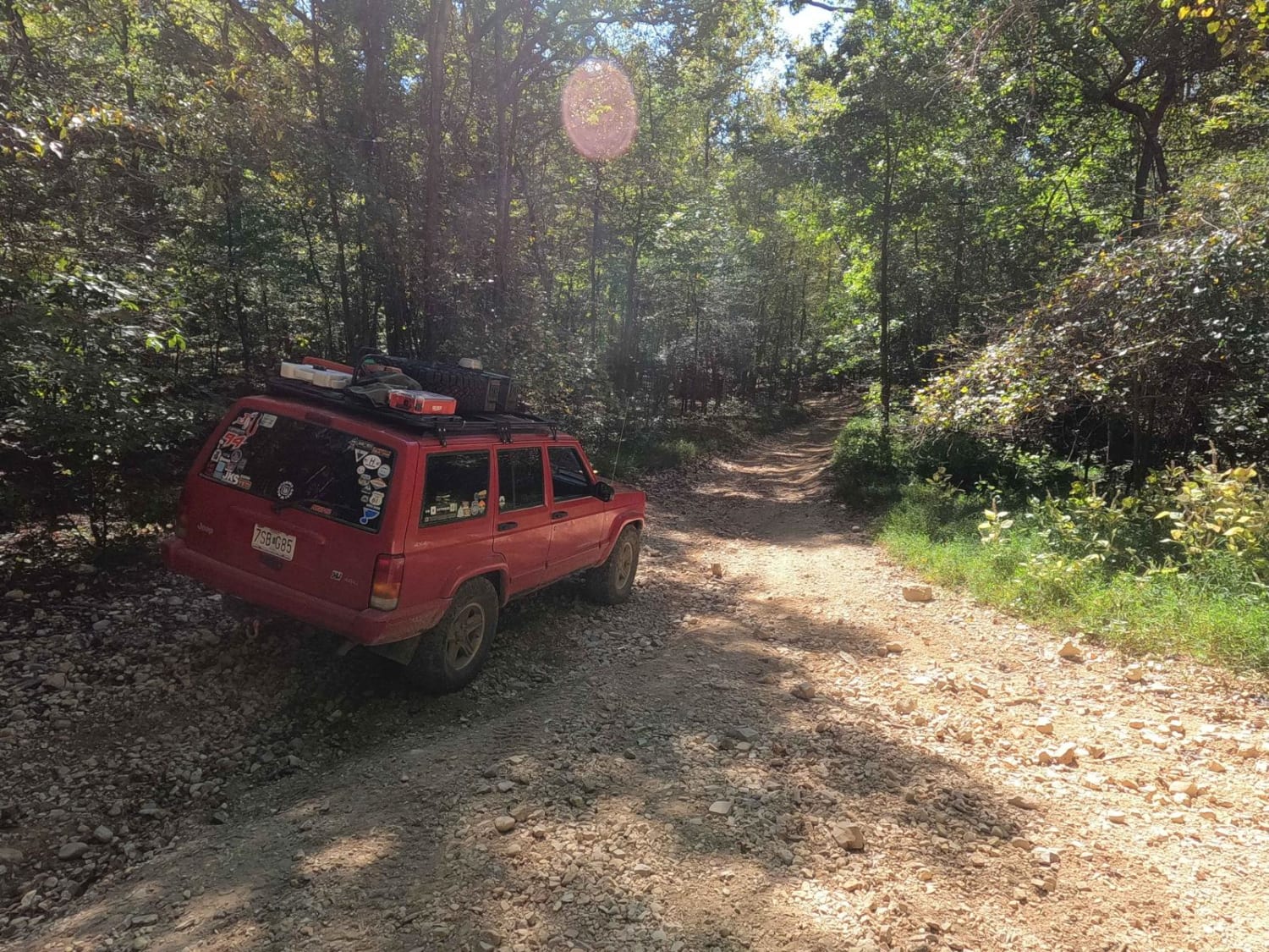
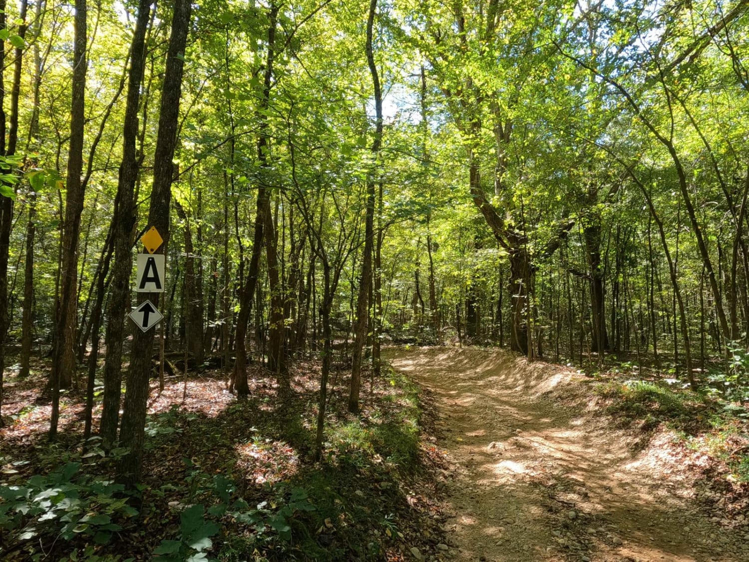
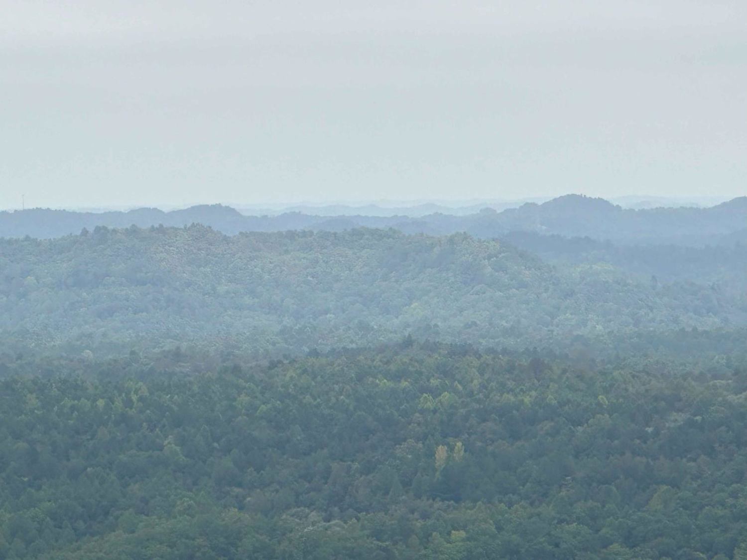
The 3 to A Road is a semi-maintained primary road with a blend of dirt and natural rock, connecting point to point from the 3 intersection to the A intersection within the Land Between the Lakes National Recreation Area. Its official ID is part of Forestry M04. Going north to south at the 3 intersection, the road starts in valley bottoms, featuring a few feeder creek crossings at 36.75869, -88.09145. This leads to the middle section, featuring a dirt-based and scattered natural rock mixed road carved into the moderate graded hills, planted amongst tree lines. It ultimately tracks the ridge tops of the western hills of the park, lastly coming to Hardball Hill at 36.75219, -88.09568, a steep grade of predominantly loose softball-sized natural cobble rock paired with a few scattered small boulders. Hardball Hill connects directly to the A intersection, the southern endpoint of this trail, which is near the South Middle Bay/Hendon Cemetery. It's a great trail to hit to get a variety of terrain Turkey Bay has to offer.
Photos of 3 to A Road
Difficulty
The 3 to A Road's difficulty is rooted in the variety of terrain it hosts. Starting at the 3 intersection, the northern section features mostly silty dirt roads in the valley bottoms leading to loose creek gravel and potential small water crossings (likely to be mostly dry in warmer months) at 36.75869, -88.09145. It then quickly transitions to the moderate-graded dirt-based hilly middle section, which has small ruts and stair-step whoops along these hill climbs. Up to this point, the northern two-thirds of this trail ride like a 2/10, but the last southern third features the steep grade, dubbed Hardball Hill, which features loose natural rock throughout, predominantly cobble rock (2.5-inch to 10-inch in diameter) to sparsely small boulder rocks (10-inch plus diameter rocks). This is the justification for the 3/10 base rating for this trail. This spot requires the careful placement of tires paired with the balance of momentum when going uphill, or brake control when going downhill. The difficulty of this trail will increase in conditions of heavy rain and wet conditions, making loose rocks slick, turning the dirt on the roads into thin mud, and adding some water depth at the creek crossings.
Status Reports
Popular Trails

Redd Hollow Road - FS 171

Lake Trail

Mary's Wild Horse Trail
The onX Offroad Difference
onX Offroad combines trail photos, descriptions, difficulty ratings, width restrictions, seasonality, and more in a user-friendly interface. Available on all devices, with offline access and full compatibility with CarPlay and Android Auto. Discover what you’re missing today!


