2 de Abril Santa Fe
Total Kilometers
31.7
Technical Rating
Best Time
Spring, Fall
Trail Type
High-Clearance 4x4 Trail
Accessible By
Trail Overview
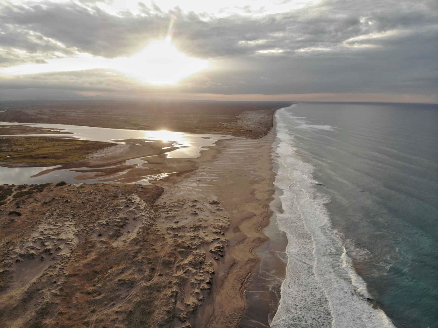
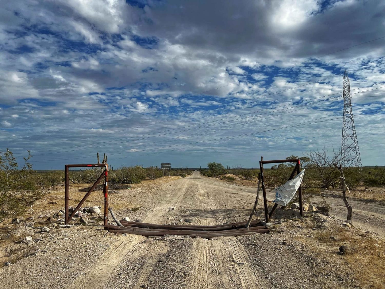
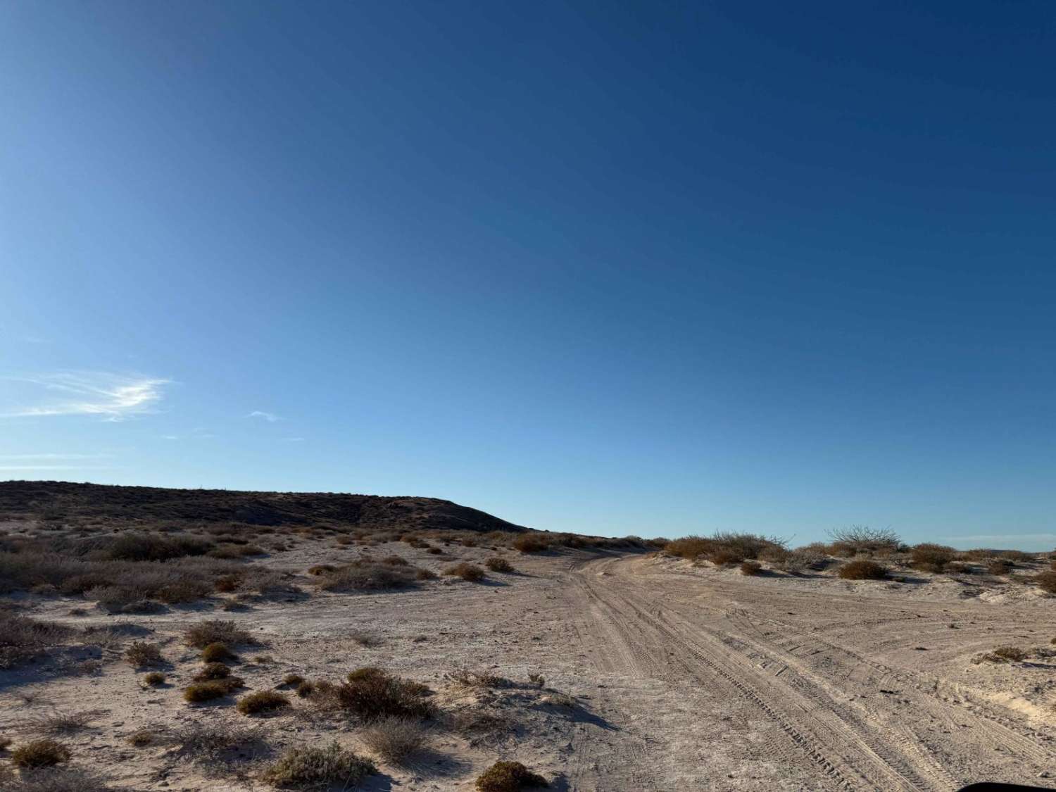
If you start this trail at Transpeninsular Highway 1, it starts as a 2-way vehicle road, with lots of gravel and compact soil with some roots on the sides. There are lots of turns and typical desert Baja views, with some sand patches that are easy to go through as well as a few ranchos along the way. You will pass the Santa Fe ranchos area to get to 2 de Abril. After that section, things change; first, you have to be careful with a few silt patches (called "talcales" in Baja) that can be somewhat deep. Second, the road kind of vanishes; it gets a bit hard to see the trail when it turns into a soft sand/silt trail that traverses a river bed/dry lake. Therefore, it can be impossible to cross during rainy season. The trail will take you to a small palapa left by a fisherman on the side of a big lake where you can camp, and it almost touches the Pacific Sea. It's a perfect place to spend one or a few nights-just be sure you bring supplies with you. There are no businesses in the area.
Photos of 2 de Abril Santa Fe
Difficulty
Be careful with silt (talcales) sections. Some areas have lots of soft sand. It will be impossible to get to the end during rainy season. Ask locals about trail conditions
Status Reports
2 de Abril Santa Fe can be accessed by the following ride types:
- High-Clearance 4x4
- SxS (60")
- ATV (50")
- Dirt Bike
2 de Abril Santa Fe Map
Popular Trails
Sierra Laguna

Los Inocentes NE Coastal
Pista de Salto
Sendero Mirador del Tecolete
The onX Offroad Difference
onX Offroad combines trail photos, descriptions, difficulty ratings, width restrictions, seasonality, and more in a user-friendly interface. Available on all devices, with offline access and full compatibility with CarPlay and Android Auto. Discover what you’re missing today!
