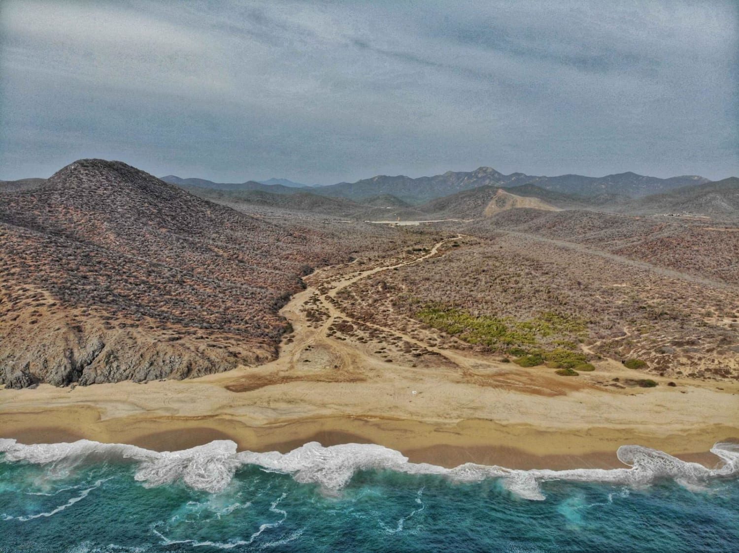
Off-Road Trails in Baja California Sur

Discover off-road trails in Baja California Sur
Trail Length
Best Time of Year
Sort By
Learn more about 2 de Abril Santa Fe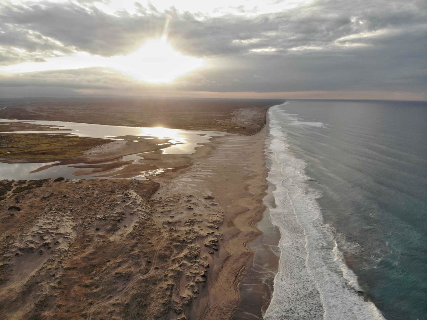
2 de Abril Santa Fe
Total Kilometers
31.7
Tech Rating
Moderate
Best Time
Spring, Fall
Learn more about Above El Sargento and Down to the Hot Springs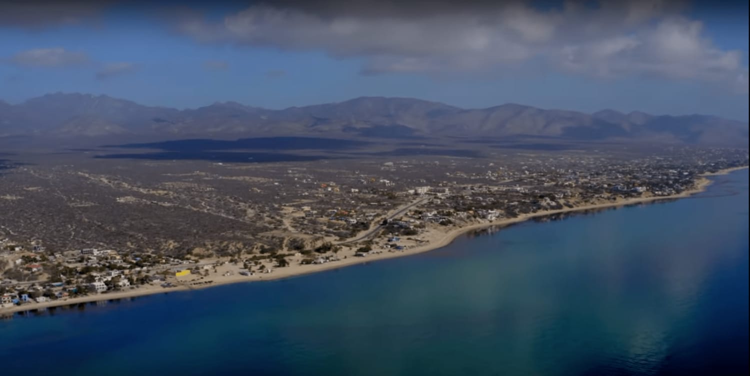
Above El Sargento and Down to the Hot Springs
Total Kilometers
12
Tech Rating
Easy
Best Time
Spring, Summer, Fall, Winter
Learn more about Agua Del Coyote
Agua Del Coyote
Total Kilometers
9.9
Tech Rating
Easy
Best Time
Spring, Summer, Fall, Winter
Learn more about Agua Verde Trail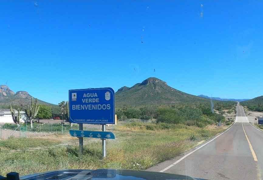
Agua Verde Trail
Total Kilometers
39.9
Tech Rating
Easy
Best Time
Summer, Spring
Learn more about Alfredo Bonfil
Alfredo Bonfil
Total Kilometers
13
Tech Rating
Easy
Best Time
Spring, Summer, Fall, Winter
Learn more about Around Bahia de Tortugas to El Rincon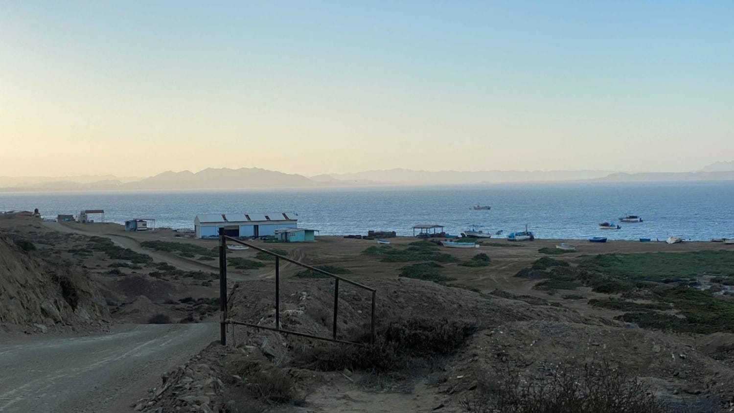
Around Bahia de Tortugas to El Rincon
Total Kilometers
13.1
Tech Rating
Easy
Best Time
Spring, Summer, Fall, Winter
Learn more about Bahia Asuncion to San Roque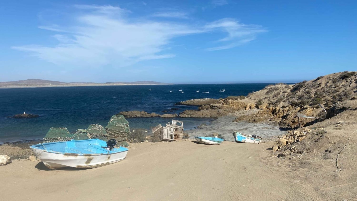
Bahia Asuncion to San Roque
Total Kilometers
12.1
Tech Rating
Easy
Best Time
Spring, Summer, Fall, Winter
Learn more about Bahia Tortugas to Punta Eugenia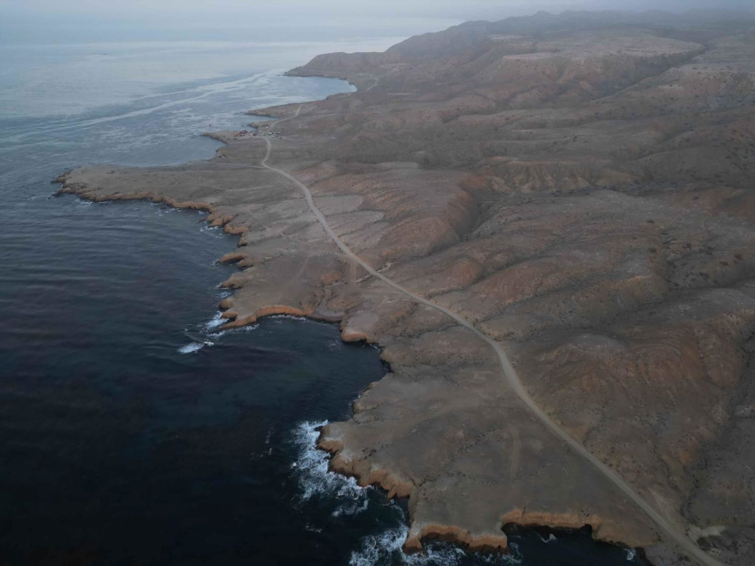
Bahia Tortugas to Punta Eugenia
Total Kilometers
56.1
Tech Rating
Easy
Best Time
Spring, Summer, Fall, Winter
Learn more about Baja El Bajo Km 810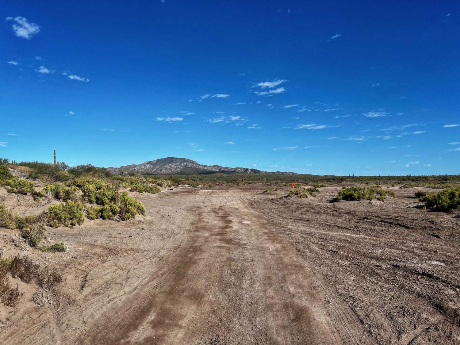
Baja El Bajo Km 810
Total Kilometers
6
Tech Rating
Easy
Best Time
Fall, Spring
Learn more about Boca Las Barrancas
Boca Las Barrancas
Total Kilometers
10.2
Tech Rating
Easy
Best Time
Spring, Summer, Fall, Winter
Learn more about Cabo Pulmo National Park - La Fortuna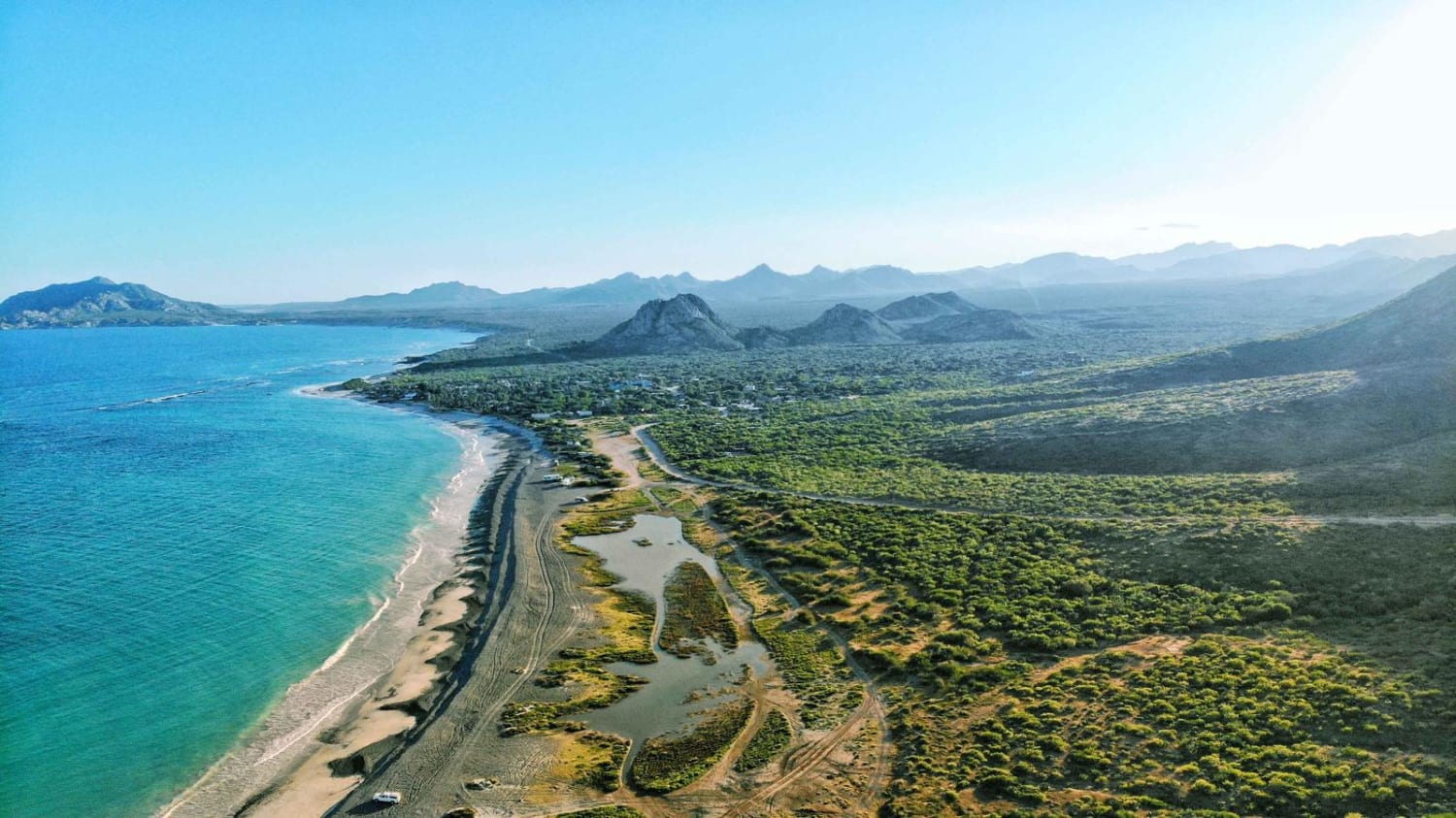
Cabo Pulmo National Park - La Fortuna
Total Kilometers
41.8
Tech Rating
Easy
Best Time
Spring, Fall
Learn more about Camino Al Bajo
Camino Al Bajo
Total Kilometers
12.1
Tech Rating
Easy
Best Time
Spring, Summer, Fall, Winter
Learn more about Camino de Agua Verde 
Camino de Agua Verde
Total Kilometers
3.6
Tech Rating
Easy
Best Time
Spring, Summer, Winter, Fall
Learn more about Camino de Lavado Empinado
Camino de Lavado Empinado
Total Kilometers
3.5
Tech Rating
Moderate
Best Time
Spring, Summer, Fall, Winter
Learn more about Campo Chivo El Tavo Route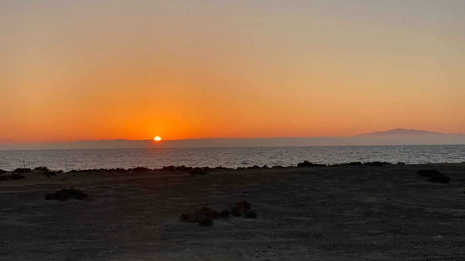
Campo Chivo El Tavo Route
Total Kilometers
9.7
Tech Rating
Easy
Best Time
Spring, Summer, Fall, Winter
Learn more about Campo Queen Coastal Route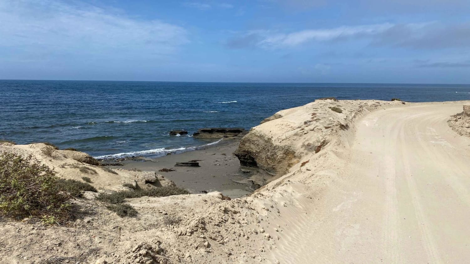
Campo Queen Coastal Route
Total Kilometers
9.3
Tech Rating
Easy
Best Time
Spring, Summer, Fall, Winter
Learn more about Candelaria Migrino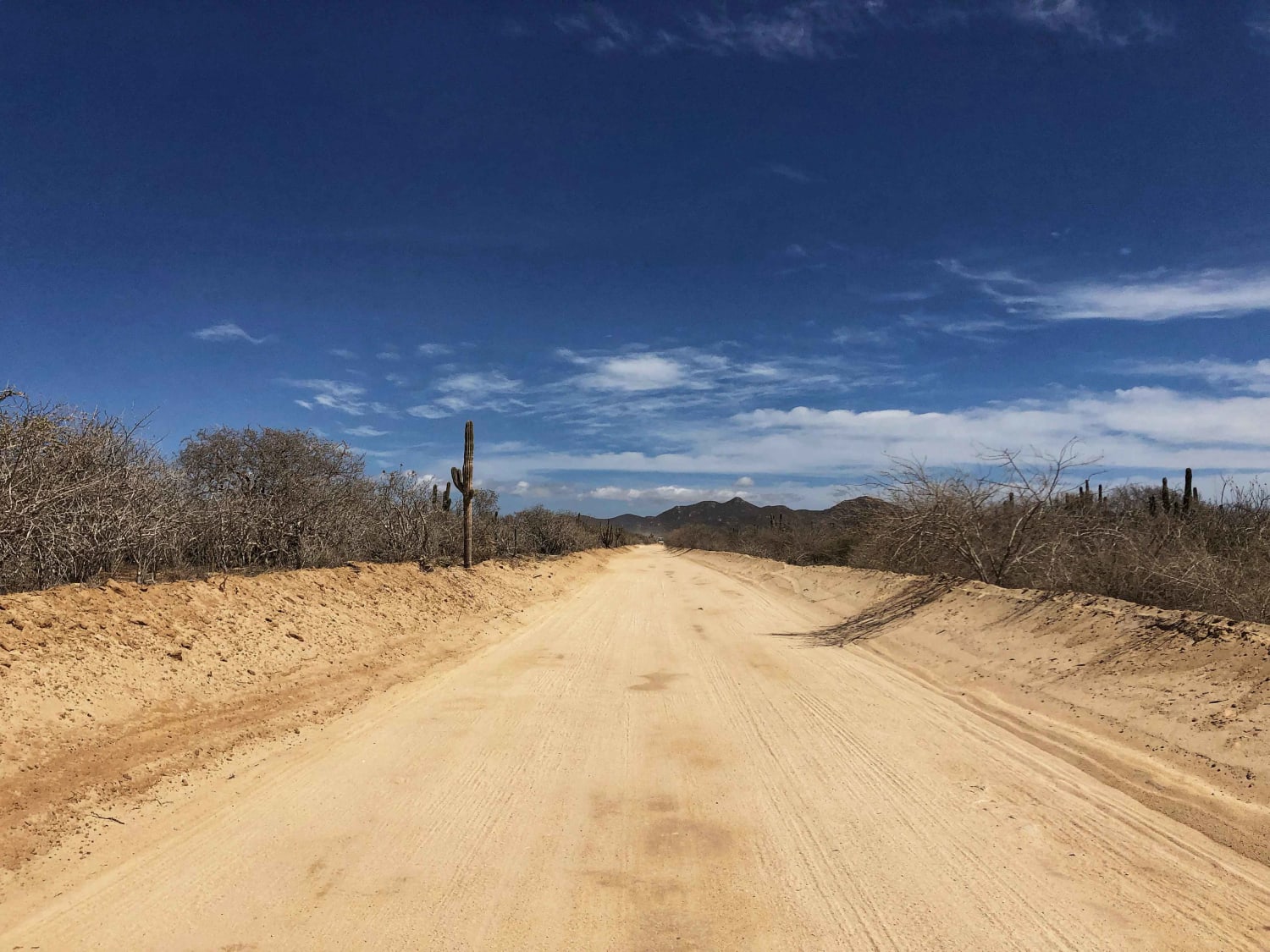
Candelaria Migrino
Total Kilometers
34.7
Tech Rating
Easy
Best Time
Spring
Learn more about Canon San Dionisio
Canon San Dionisio
Total Kilometers
19.5
Tech Rating
Easy
Best Time
Spring, Summer, Fall, Winter
Learn more about Caracara Loop
Caracara Loop
Total Kilometers
11.5
Tech Rating
Easy
Best Time
Spring, Fall, Winter, Summer
Viewing 20 of 141
The onX Offroad Difference
onX Offroad combines trail photos, descriptions, difficulty ratings, width restrictions, seasonality, and more in a user-friendly interface. Available on all devices, with offline access and full compatibility with CarPlay and Android Auto. Discover what you’re missing today!