Above El Sargento and Down to the Hot Springs
Total Kilometers
12.0
Technical Rating
Best Time
Spring, Summer, Fall, Winter
Trail Type
Full-Width Road
Accessible By
Trail Overview
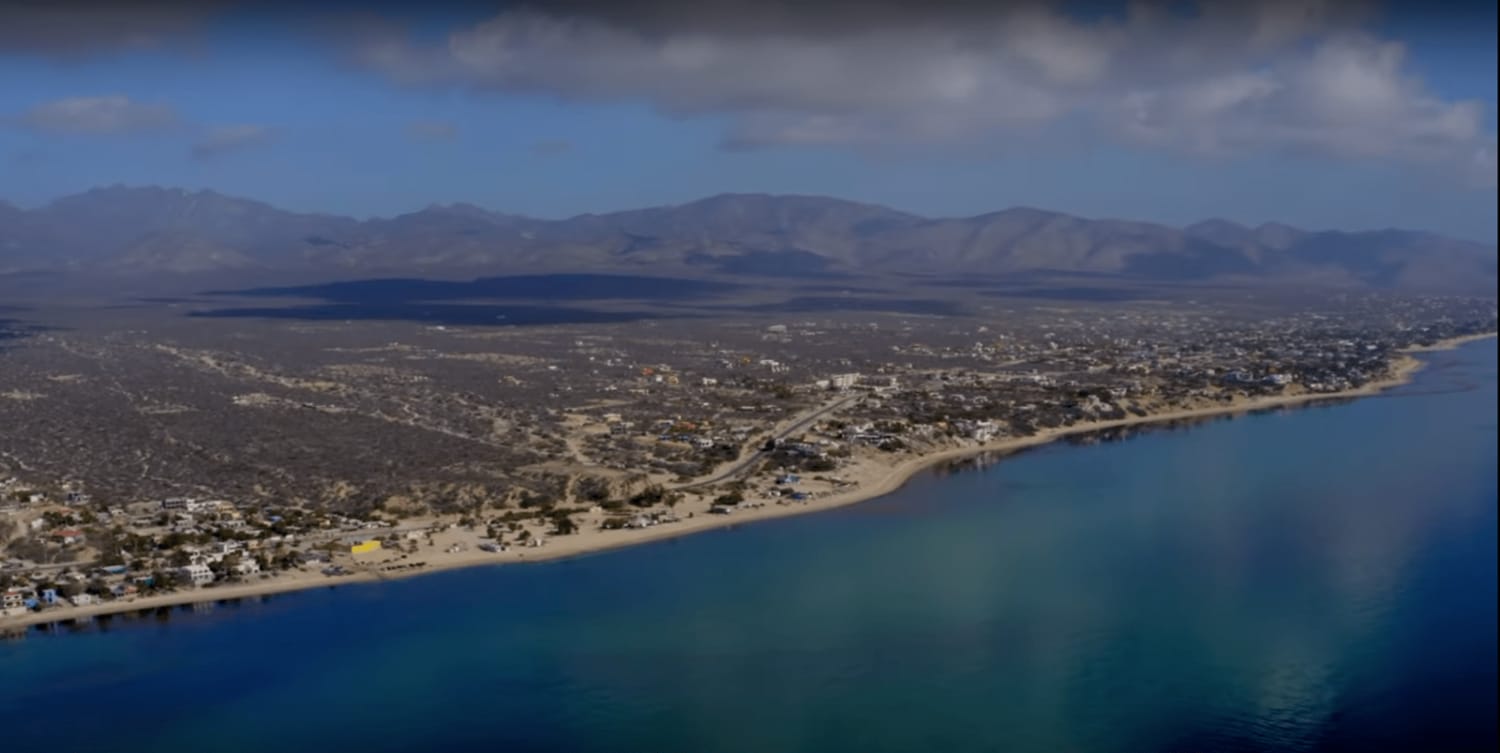
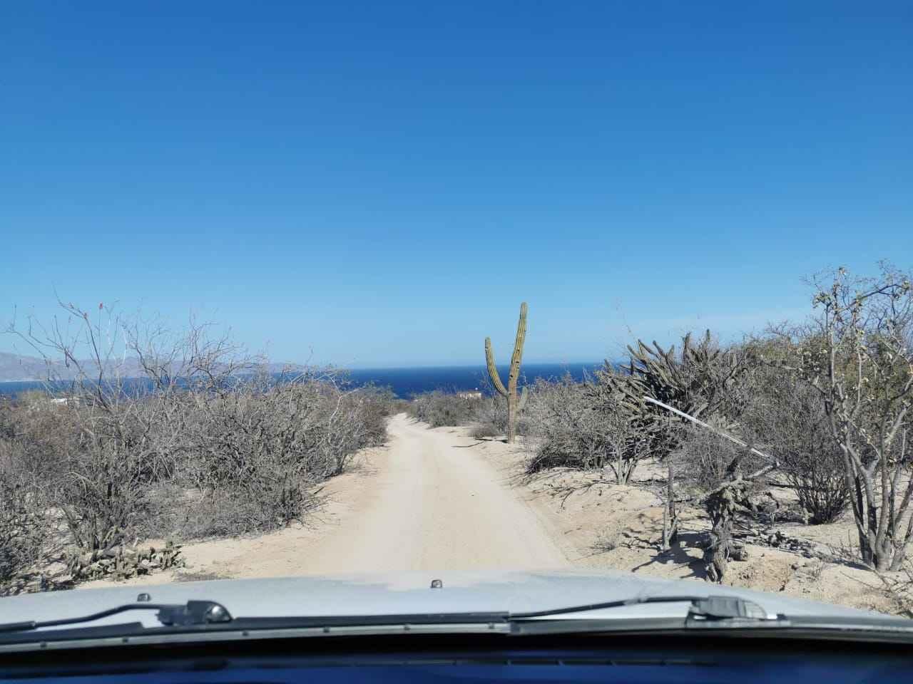
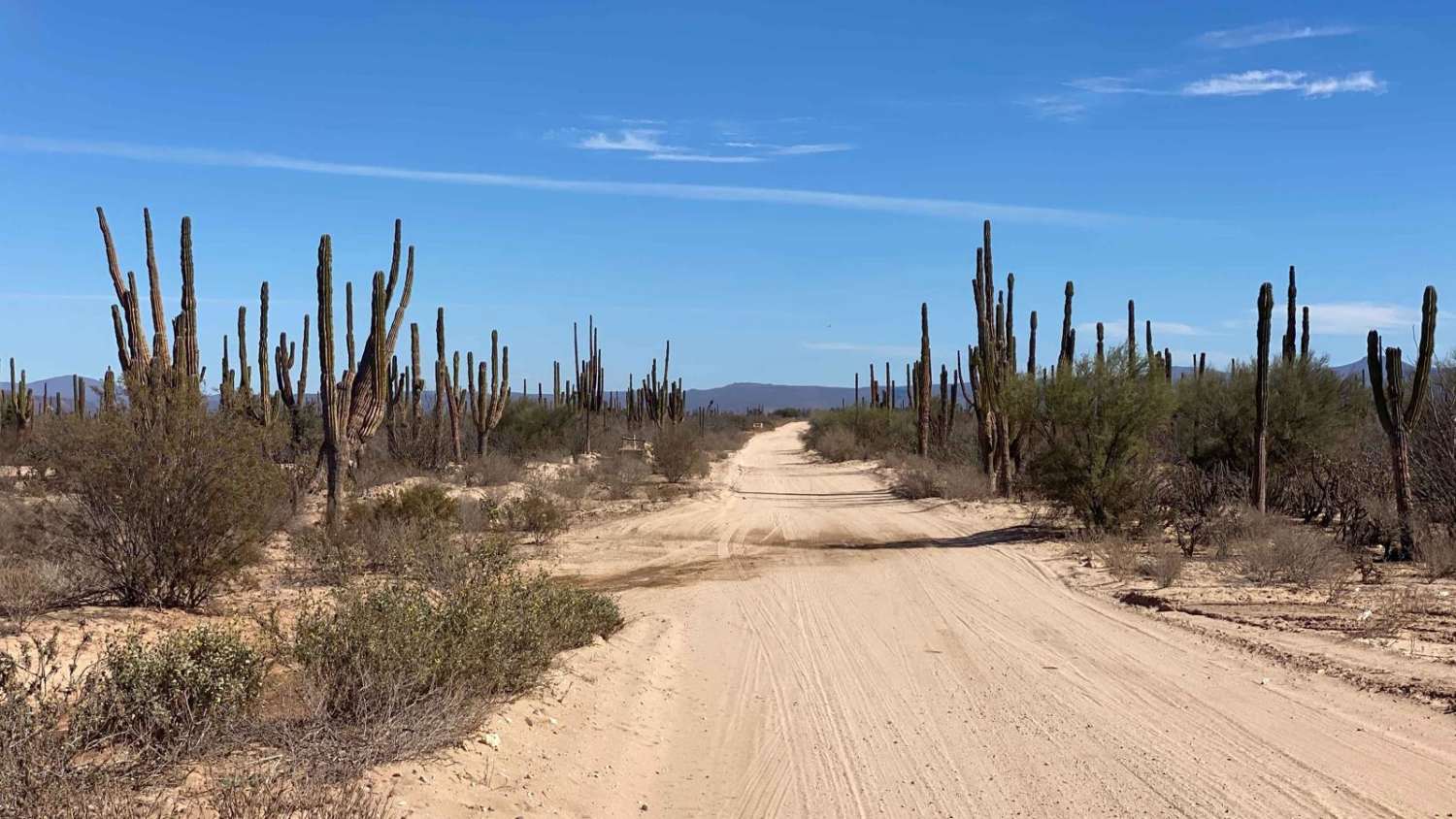
This route provides a unique and elevated perspective of the La Ventana and El Sargento areas, making it an excellent introduction to the region. The route consists entirely of dirt roads, most of which are one car wide, but some can accommodate two. The entry road provides a high vantage point above the towns, and the land traversed is really a grid of future developments known as Ejido land. Continuing straight at the first right turn will lead to a higher viewpoint and a closed gate so it would be an out-and-back to this road. Depending on the level of maintenance, some areas may have dense brush. If any of the roads are altered, a short detour using the map will easily get you back on track. The route culminates at a popular camping spot for Vans and Overlanders. Here, visitors can dig a hole near the ocean and enjoy the hot water emanating from the ground, providing a truly unique and memorable experience.
Photos of Above El Sargento and Down to the Hot Springs
Difficulty
Any 2wd vehicle with clearance can take this route. Upon arriving at the end of the route and the hot springs it can be slightly rocky and use caution driving on the sand without a 4x4 or recovery gear.
Status Reports
Above El Sargento and Down to the Hot Springs can be accessed by the following ride types:
- High-Clearance 4x4
- SUV
- SxS (60")
- ATV (50")
- Dirt Bike
Above El Sargento and Down to the Hot Springs Map
Popular Trails
Dos Esteros
Pista de Salto
Rancho Santa Marta

Agua Del Coyote
The onX Offroad Difference
onX Offroad combines trail photos, descriptions, difficulty ratings, width restrictions, seasonality, and more in a user-friendly interface. Available on all devices, with offline access and full compatibility with CarPlay and Android Auto. Discover what you’re missing today!
