Campo Chivo El Tavo Route
Total Kilometers
9.7
Technical Rating
Best Time
Spring, Summer, Fall, Winter
Trail Type
Full-Width Road
Accessible By
Trail Overview
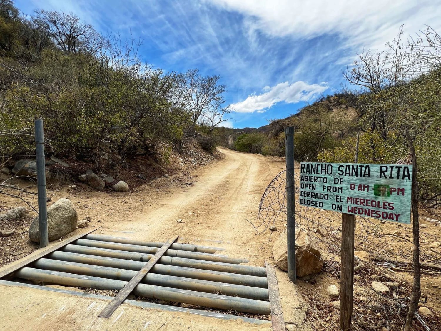
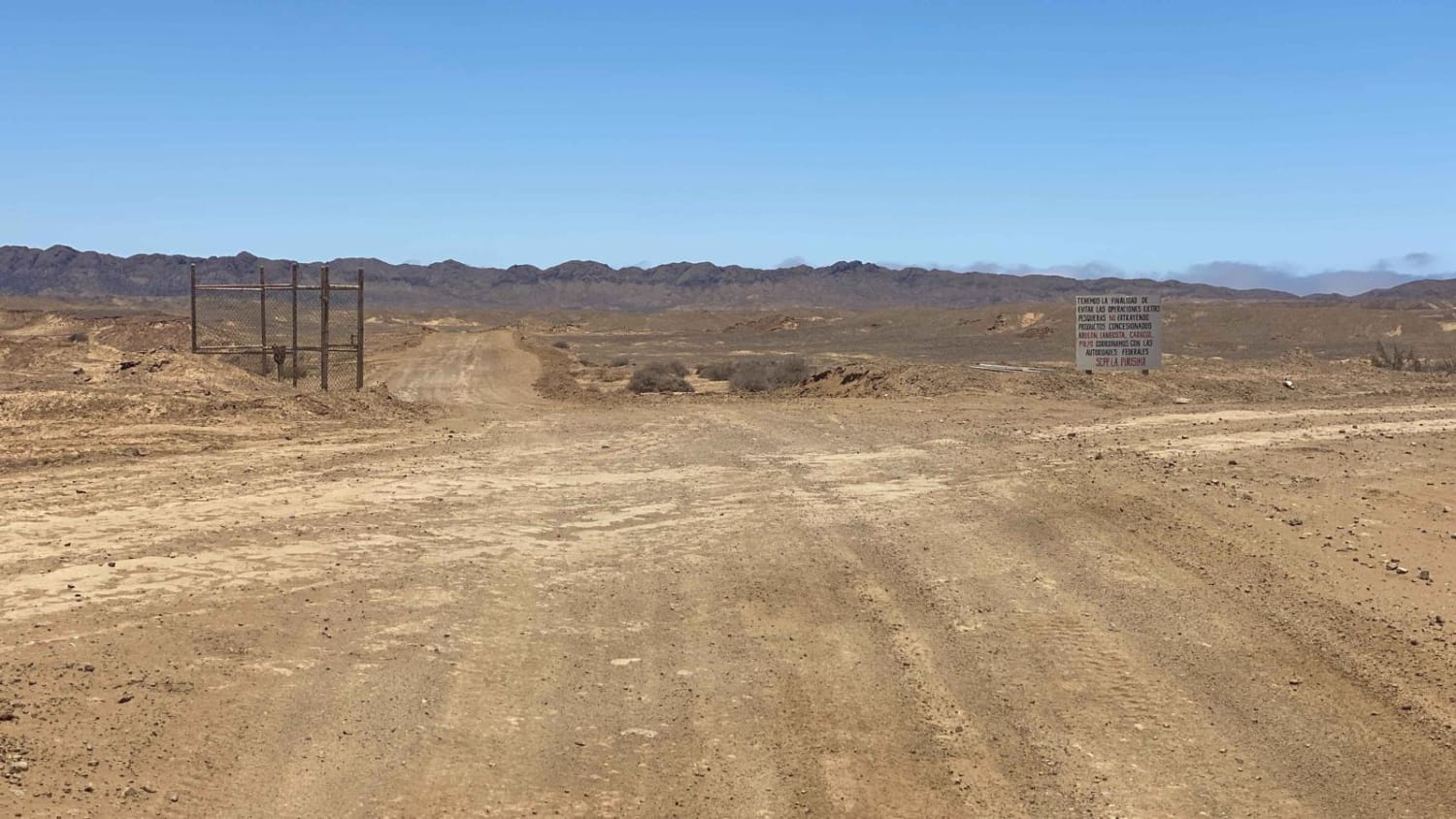
This is a comfortably graded dirt road, accessible to any type of vehicle, providing a direct route to Campo Chivo and El Tavo. The entire journey is enjoyable, as the road offers a smooth ride with minimal washboard areas, and most sections are wide enough for two vehicles to pass easily. When encountering road splits, always opt for the right-hand route, as some of these splits are designed for one-way traffic. As you approach the coastal fork, you have the option to turn right towards El Tavo or left towards Campo Chivo. Beyond Campo Chivo, there are pleasant options for remote camping, and the El Tavo area also offers great camping opportunities. It's worth noting that the trail becomes more challenging approximately a mile past Campo Chivo, and 4WD may be required to navigate through this section.
Photos of Campo Chivo El Tavo Route
Difficulty
This route is accessible by any vehicle.
Status Reports
Campo Chivo El Tavo Route can be accessed by the following ride types:
- High-Clearance 4x4
- SUV
- SxS (60")
- ATV (50")
- Dirt Bike
Campo Chivo El Tavo Route Map
Popular Trails

Punta Conejo

New Road Meliton

Santiago/Rancho Santa Rita

Southeast Low Road
The onX Offroad Difference
onX Offroad combines trail photos, descriptions, difficulty ratings, width restrictions, seasonality, and more in a user-friendly interface. Available on all devices, with offline access and full compatibility with CarPlay and Android Auto. Discover what you’re missing today!

