Coastal Route Punta Prieta to Estero de La Bocana
Total Kilometers
48.3
Technical Rating
Best Time
Spring, Summer, Fall, Winter
Trail Type
Full-Width Road
Accessible By
Trail Overview
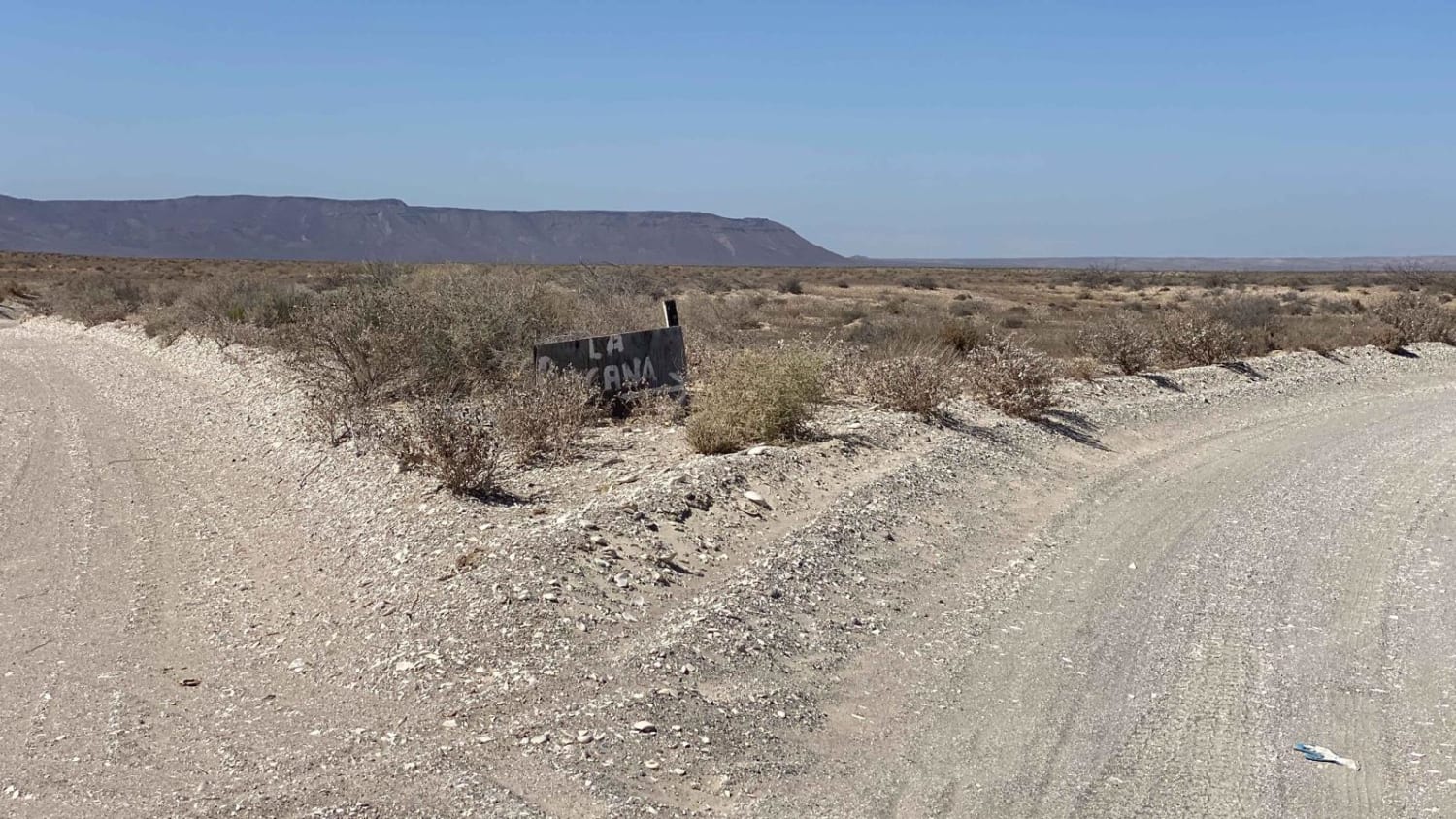
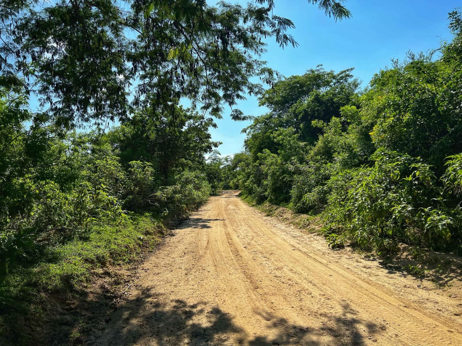
This route is suitable for all vehicles, providing an easy and scenic journey along the coast, starting from Punta Prieta and passing through the charming town of San Hipolito before reaching Estero de La Bocana. While part of the route follows the main road with occasional washboards, you'll enjoy several breaks from it, allowing for higher speeds as you traverse the flat and smooth salt flats and estuaries. The route offers a pleasant detour through a quaint fishing town, adding to the overall experience. Finally, you'll arrive at La Bocana, where you can find a few amenities like laundry services and purified water, but take note that there is no commercial fuel station on this route.
Photos of Coastal Route Punta Prieta to Estero de La Bocana
Difficulty
This trail is accessible to all vehicles and is generally considered easy. However, be cautious of certain sections that pass through salt flats or estuaries, as they might become impassable following major hurricanes or storms that result in unusually high tides in these low-lying regions. Exercise extra care when navigating these areas during such conditions. As with any trail in Baja, conditions can change unexpectedly. If something doesn't appear right, it's best to stop, get out of your vehicle, and walk the section before continuing your journey. Safety comes first, and taking a cautious approach can help ensure a smooth and trouble-free trip.
Status Reports
Popular Trails
San Juanico to San Ignacio via the Coast.

Camino Al Bajo
The onX Offroad Difference
onX Offroad combines trail photos, descriptions, difficulty ratings, width restrictions, seasonality, and more in a user-friendly interface. Available on all devices, with offline access and full compatibility with CarPlay and Android Auto. Discover what you’re missing today!
