La Perforada
Total Kilometers
10.1
Elevation
5.28 m
Duration
1.5 Hours
Technical Rating
Best Time
Spring, Summer, Fall, Winter
Trail Overview
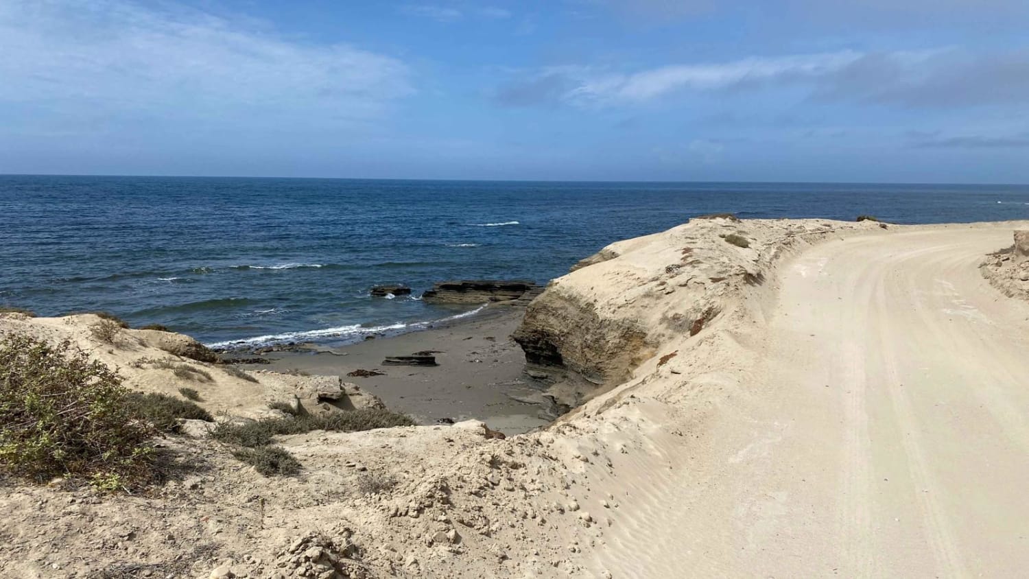
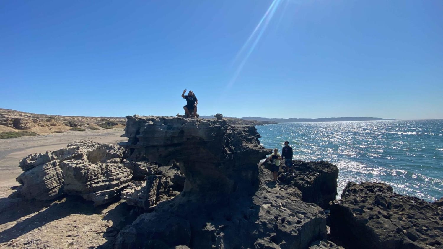
This particular coastal route stands out as the most challenging in this area, primarily due to the last half-mile stretch of sand. The initial part of the route is relatively straightforward, with some caution required for the steep in-and-outs of arroyos, which may have rain ruts but are generally manageable. As you proceed, there are steeper and slightly off-camber sections that demand additional patience.As you advance further along the route, several critical points merit attention. You'll traverse onto and off the beach on three occasions, so it's crucial to time your journey during low tides for a smoother trip both ways. While there are alternative inland routes, they may be obstructed by sand drifts, and their recent usage was infrequent at the time of this mapping.The last half-mile before reaching La Perforado, where the ocean meets perforated rocks, necessitates large tires with low air pressure and proficient sand driving and recovery skills. The sand in this area can easily lead to getting stuck, so it's advisable not to venture solo. Once past the sandy section and onto the final stretch of the beach, you'll encounter some sizable rocks that can be carefully navigated with sufficient clearance or traversed on foot for about 100 yards.Continuing beyond this point offers more adventurous exploration opportunities or access for more capable vehicles, but be aware that the sand becomes quite deep. As a result, it's recommended to make an out-and-back journey to ensure a safer trip.
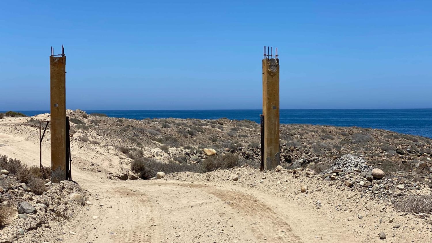
Photos of La Perforada
Difficulty
The majority of the trail's difficulty lies in the final mapped section. Deep sand poses a challenge, necessitating sand recoveries as turning around becomes tough. However, with two or more appropriately equipped high clearance 4WD vehicles and sand recovery skills, the trail can be managed.It's essential to take note of the tides since high tides can prevent passage through the beach sections, and the inland segments may also become impassable. Additionally, be cautious during rainy or post-storm conditions, as these may render the entire route impassable.
Status Reports
Popular Trails

Los Naranjos

Punta Chivato

Campo Queen Coastal Route

El Pelotero
The onX Offroad Difference
onX Offroad combines trail photos, descriptions, difficulty ratings, width restrictions, seasonality, and more in a user-friendly interface. Available on all devices, with offline access and full compatibility with CarPlay and Android Auto. Discover what you’re missing today!

