San Javier Mission
Total Kilometers
68.6
Technical Rating
Best Time
Spring, Summer, Fall, Winter
Trail Type
Full-Width Road
Accessible By
Trail Overview
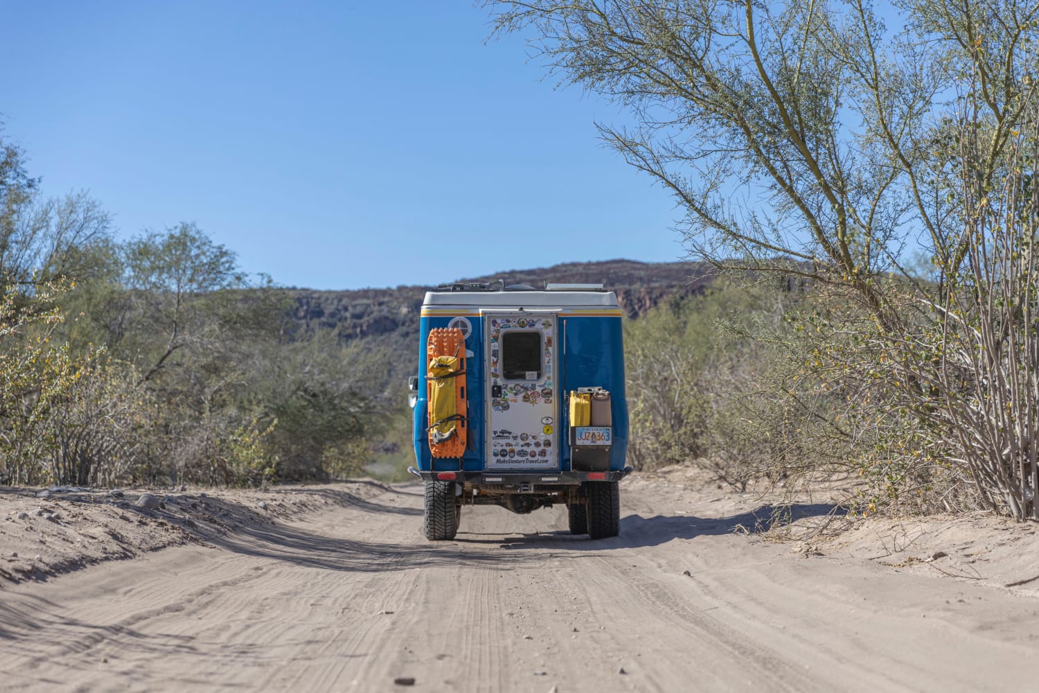
This route is primarily an even dirt track with just a few rocky sections sprinkled in. The road winds down between dried-out river beds, cacti, ranches, and a few small forested sections. There are a few homes and ranches throughout the trail, so it is lightly trafficked by locals. There are many activities on either end of the trail, from historical missions to cave paintings and restaurants.
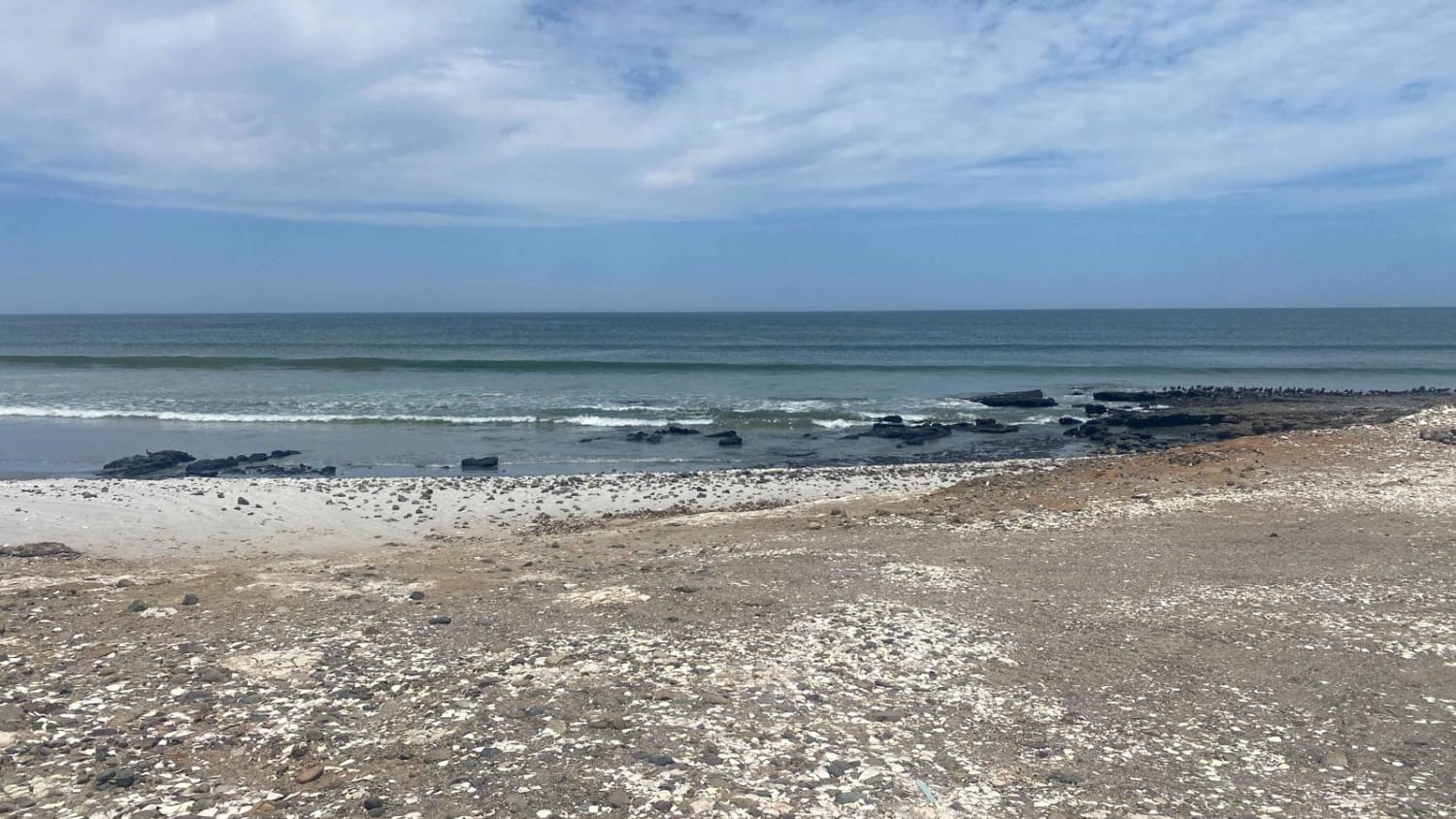
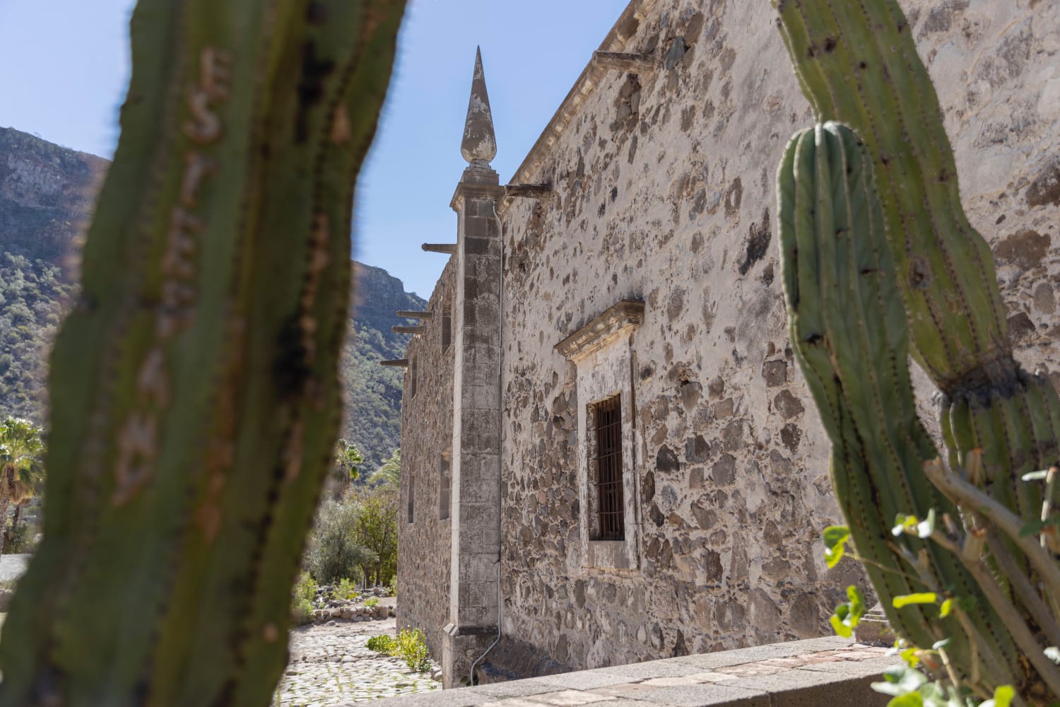
Photos of San Javier Mission
Difficulty
This route is mostly dirt and rock. There are no big obsticles and can bee done in most vehicles, there are sections that are rough or rutted out from Baja races and wash outs.
History
Mision San Francisco Javier de Vigge-Biaundo was established in 1699 after San Francisco lead a team of soldiers and a few Cochimi guides into the Biaundo valley in search of a more agriculturally friendly land for his mission. The Cochimi that already lived in this site were receptive and allowed 30 of their children to be baptized, San Francisco returned soon after and began construction of his mission. The Mission was temporarily closed in 1701 following local revolt but was re-established in 1702 by Juan De Ugarte. The mission was moved to its present day location in 1710 in the hopes of finding more water, this was a success, and the mission flourished between 1744 and 1758. The mission was finally abandoned in 1817 and has since been restored by Mexico's National Institute of Anthropology and History.
Status Reports
Popular Trails

El Centenario Northwest

Lowlands Route

Caracara Loop

Punta Abreojos to Campo Rene Peninsula
The onX Offroad Difference
onX Offroad combines trail photos, descriptions, difficulty ratings, width restrictions, seasonality, and more in a user-friendly interface. Available on all devices, with offline access and full compatibility with CarPlay and Android Auto. Discover what you’re missing today!


