Bahia Soledad
Total Kilometers
7.9
Technical Rating
Best Time
Spring, Summer, Fall, Winter
Trail Type
Full-Width Road
Accessible By
Trail Overview
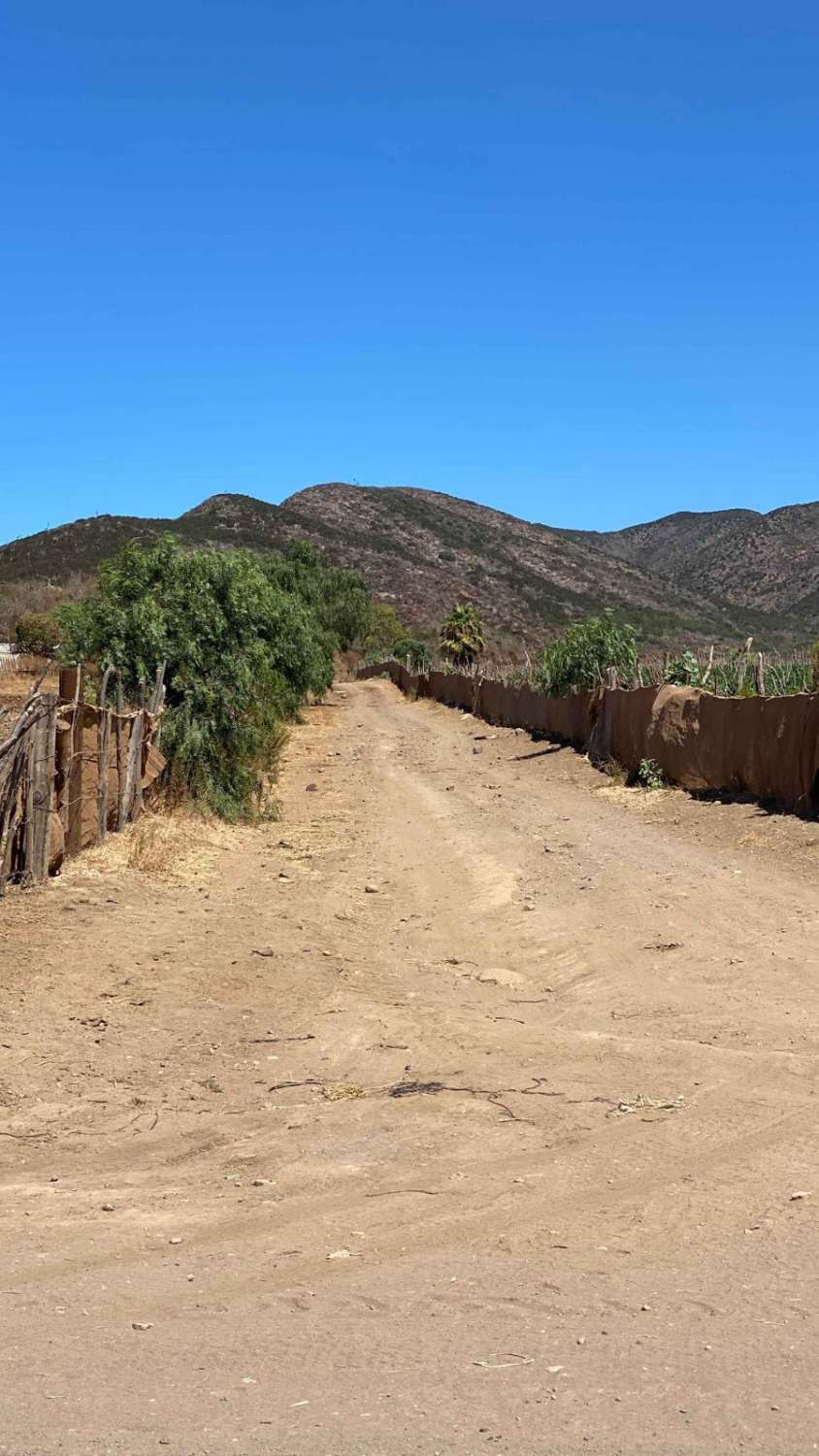
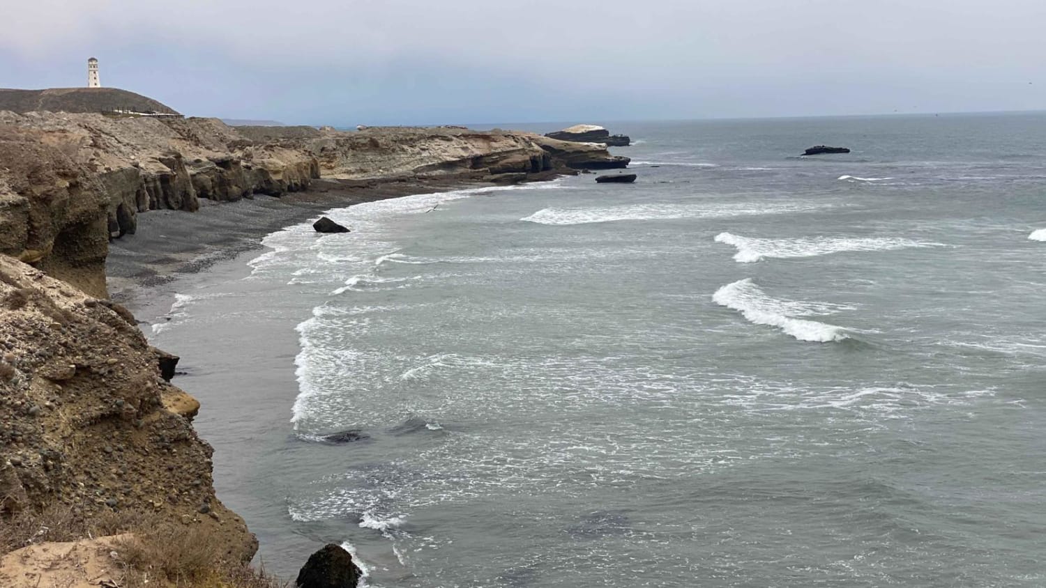
This off-road trail presents a formidable challenge, earning its reputation largely due to several steep, soft sections that can be particularly tough to navigate. These areas demand both skill and precision, especially when combined with stretches of loose, rocky terrain. Despite its infrequent use, the trail remains relatively clean, offering a rugged yet navigable path for experienced drivers. The journey begins between two fences and quickly opens up into a broad valley, setting the stage for a steep ascent. As you climb, you'll be rewarded with breathtaking, panoramic views. On a clear day, the ocean is visible from the summit, offering a stunning backdrop as you prepare to descend into the next valley. As you navigate through this area, you'll pass an open gate close to private property--a common occurrence in Mexico--so it's important to stay on the designated trail, respecting the local residents. Near the property, you'll notice the home of a friendly couple who reside there. Continuing on, the trail presents a series of demanding climbs and sharp descents. As you approach the ocean, you'll encounter another private property marked by a closed gate, signaling the end of this portion of the trail. Past that gate is the old airstrip on the ocean but the gate has recently been closed and locked, On your return, you'll have the option to take a right fork about a mile back, which offers a shortcut that shaves a couple of miles off your return, ultimately reconnecting you to the main route. This trail is not for the faint-hearted, but those who tackle it will find the experience both exhilarating and rewarding.
Photos of Bahia Soledad

Difficulty
Be sure to air down for this route, as it features several steep grades exceeding 50 meters in length, some with low traction. The trail is rated based on dry conditions, but rain or storms will significantly increase the difficulty. While most of the trail is relatively smooth and straightforward, those three or four steep climbs present a real challenge.
Status Reports
Bahia Soledad can be accessed by the following ride types:
- High-Clearance 4x4
- SUV
- SxS (60")
- ATV (50")
- Dirt Bike
Bahia Soledad Map
Popular Trails
El Rosario to Punta San Antonio

La Rumorosa to Mesa Colorado
Ruta El Arco

Beach Route Fidel
The onX Offroad Difference
onX Offroad combines trail photos, descriptions, difficulty ratings, width restrictions, seasonality, and more in a user-friendly interface. Available on all devices, with offline access and full compatibility with CarPlay and Android Auto. Discover what you’re missing today!