Intermittent
Total Kilometers
48.9
Technical Rating
Best Time
Spring, Fall, Winter
Trail Type
Full-Width Road
Accessible By
Trail Overview
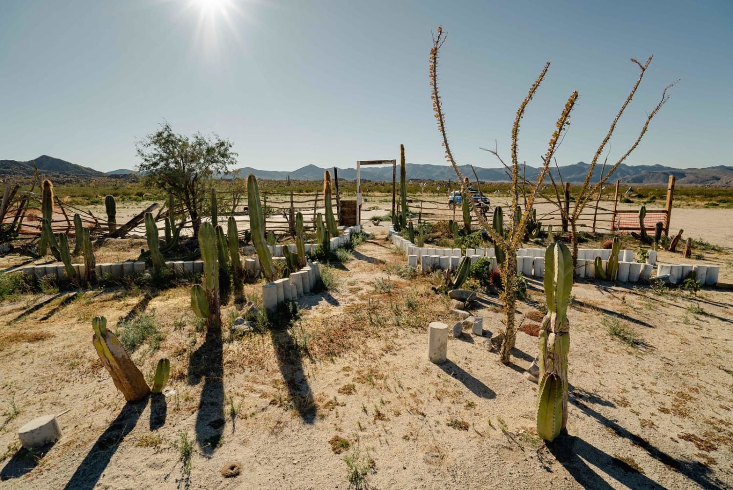
Rough, rocky road between Laguna Chapala (Hwy 1 / Hwy 5 junction) and the Pacific Coast. This passes through an unnamed dry lakebed labeled as Laguna Intermittent. This lakebed and the silt beds nearby would be impassable when wet. The rocky bits are rough and slow, and this road sees very little use. Air down, be prepared for flats and be prepared for self-recovery.
Photos of Intermittent
Difficulty
Rocky road. Slow when dry. Silt beds and lakebed would be impassable when wet.
Status Reports
Intermittent can be accessed by the following ride types:
- High-Clearance 4x4
- SUV
- SxS (60")
- ATV (50")
- Dirt Bike
Intermittent Map
Popular Trails

La Bocana to San Jose

Route to Ejido Benito Juarez

El Camino a la Mina

Coco's Corner
The onX Offroad Difference
onX Offroad combines trail photos, descriptions, difficulty ratings, width restrictions, seasonality, and more in a user-friendly interface. Available on all devices, with offline access and full compatibility with CarPlay and Android Auto. Discover what you’re missing today!

