La Bocana to San Jose
Total Kilometers
12.6
Technical Rating
Best Time
Spring, Fall, Winter, Summer
Trail Type
Full-Width Road
Accessible By
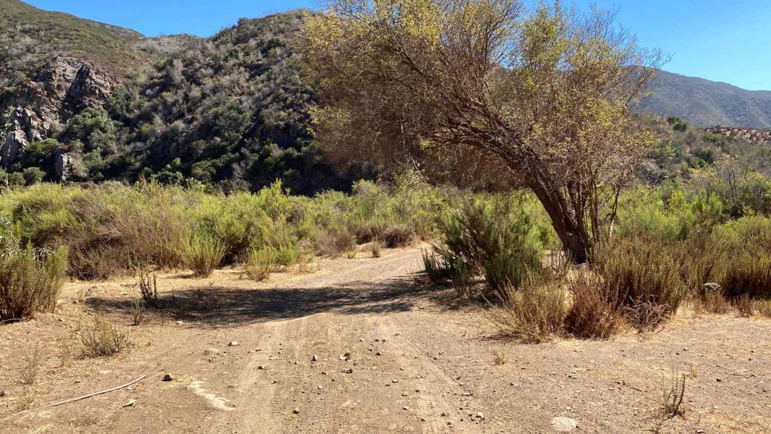
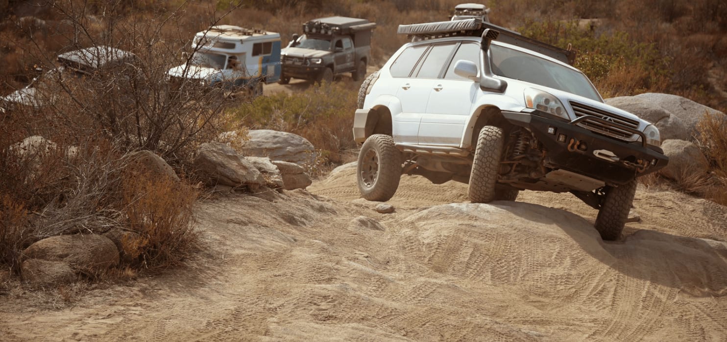
Trail Overview
This off-road trail offers a rugged journey, starting along the edges of a ranch where low-hanging trees may require trimming, though an alternative go-around is available to the left. The trail then ascends steadily for the first couple of miles, passing by a dam before reaching a gate that opens into a stunning green valley. After a brief reprieve, the trail climbs again, skirting the boundary of a nearby ranch. Soon after, you'll encounter a fork where you can continue on the main route for three miles or opt for the longer, more challenging beach path to the right. The trail narrows with some exposure, though it's still passable for a full-size 4x4, and features rutted climbs with off-camber rocks. After passing through a gate that can be opened and closed behind you, the trail concludes by connecting to the road to San Jose, about a mile from the lighthouse.
Photos of La Bocana to San Jose

Difficulty
Definitely a trail you want to air down for. There are steep sections with sharp rocks and mixed surfaces. As usual in Baja, this was mapped in dry conditions and rain and storms can change a route or make it impassable. Once you complete this trail you are still 25-plus miles from fuel and further from diesel.
Status Reports

Popular Trails
Coyote Mikes

Coastal Route to Punta San Jose

Camino del Canon

Route to Ejido Benito Juarez
The onX Offroad Difference
onX Offroad combines trail photos, descriptions, difficulty ratings, width restrictions, seasonality, and more in a user-friendly interface. Available on all devices, with offline access and full compatibility with CarPlay and Android Auto. Discover what you’re missing today!