Las Alturas
Total Kilometers
12.7
Technical Rating
Best Time
Spring, Summer, Fall, Winter
Trail Type
Full-Width Road
Accessible By
Trail Overview
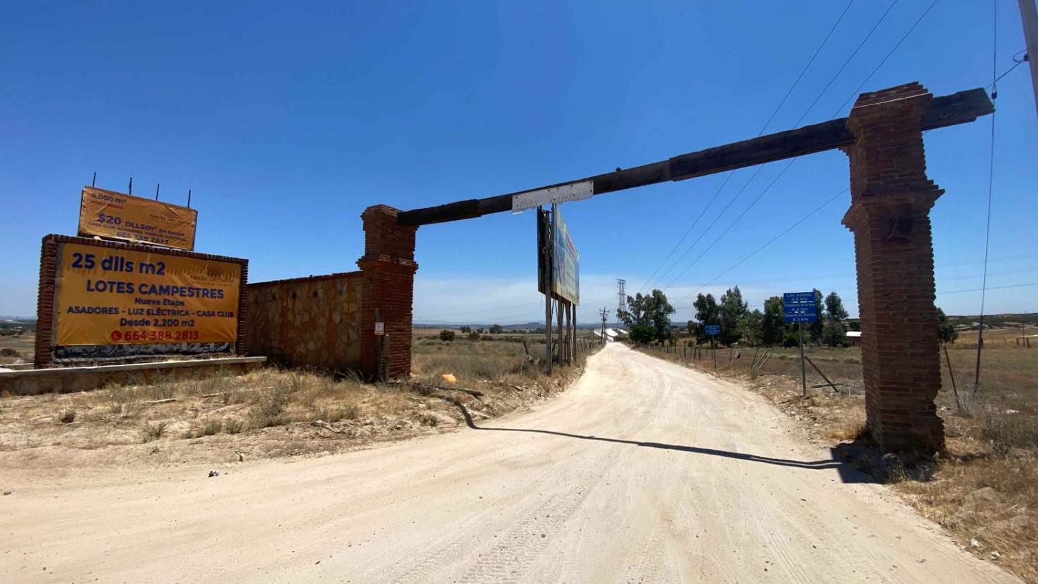
Located east of Tecate near El Hongo, this trail begins off Mexico 2. Departing from the paved road, you'll cross over the toll road and soon encounter a fork where you should veer right. This alternate route offers a convenient path to Presa Las Auras, particularly advantageous when approaching from the east. The dirt road, though regularly traversed by weekend lake traffic, is generally well-maintained, albeit interrupted by occasional detours due to ongoing pipeline construction. The journey unfolds amidst stunning scenery, a rarity in this part of Mexico, adorned with a profusion of oak trees lining the route. While there are sections with moderate inclines, rocks, and potholes, these pose little challenge to any competent driver with sufficient ground clearance, especially under dry conditions. Upon reaching the trail's end, following the lake loop leads to Presa Las Auras and onward to Tecate.
Photos of Las Alturas

Difficulty
This route is suitable for any high-clearance vehicle driven by an experienced driver. Wet conditions can significantly raise the level of difficulty, and occasional snowfall in winter adds to the challenge in this area.
Status Reports
Las Alturas can be accessed by the following ride types:
- High-Clearance 4x4
- SUV
- SxS (60")
- ATV (50")
- Dirt Bike
Las Alturas Map
Popular Trails

Volcano Kenton Alternate (Steep) Route

Ex-Hacienda Sinaloa

Rancho El Papalote Road

Sonora Border Cutoff to Baja Highway 5
The onX Offroad Difference
onX Offroad combines trail photos, descriptions, difficulty ratings, width restrictions, seasonality, and more in a user-friendly interface. Available on all devices, with offline access and full compatibility with CarPlay and Android Auto. Discover what you’re missing today!