Sonora Border Cutoff to Baja Highway 5
Total Kilometers
17.2
Elevation
4.07 m
Duration
0.5 Hours
Technical Rating
Best Time
Spring, Fall, Winter
Trail Overview
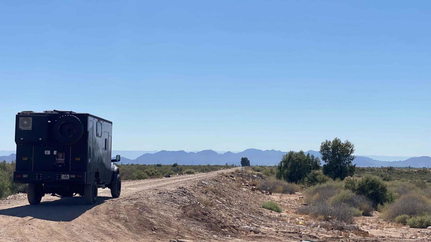
For travelers journeying from mainland Mexico, this route offers a more scenic and engaging alternative to reach Baja Highway 5 en route to San Felipe. Utilize the "Navigate To" function in your OnX app to locate the trailhead. Once on the trail and past any litter that unfortunately accumulates near Mexican highways, you'll find yourself on a narrow road elevated above the mangroves surrounding the remnants of the Colorado River. Exercise caution along this raised stretch, being mindful of soft edges and rain ruts that may narrow the path. While the trail is generally navigable for 2WD vehicles, occasional ruts may necessitate 4WD, depending on seasonal conditions. Beyond the elevated section, the journey unfolds into a scenic vista as you reach the terminus of the Colorado River, marked by a couple of RV parks and several riverside residences. Continuing past this area, you'll soon reach Mexico 5.
Photos of Sonora Border Cutoff to Baja Highway 5
Difficulty
On high roads like this, overlooking caution can lead to dangerous rollovers. Pay close attention to your surroundings, control your speed, and assess the current road conditions. Rain ruts tend to narrow the road, so it's advisable to periodically inspect the stability of the edges. Apart from these considerations, navigating the road is generally straightforward.
Status Reports
Popular Trails

East Crossover

West Crossover

Mesa Colorado to El Hongo

North of San Felipe
The onX Offroad Difference
onX Offroad combines trail photos, descriptions, difficulty ratings, width restrictions, seasonality, and more in a user-friendly interface. Available on all devices, with offline access and full compatibility with CarPlay and Android Auto. Discover what you’re missing today!

