Playa La Bocana Rosario
Total Kilometers
8.1
Technical Rating
Best Time
Spring, Summer, Fall, Winter
Trail Type
Full-Width Road
Accessible By
Trail Overview
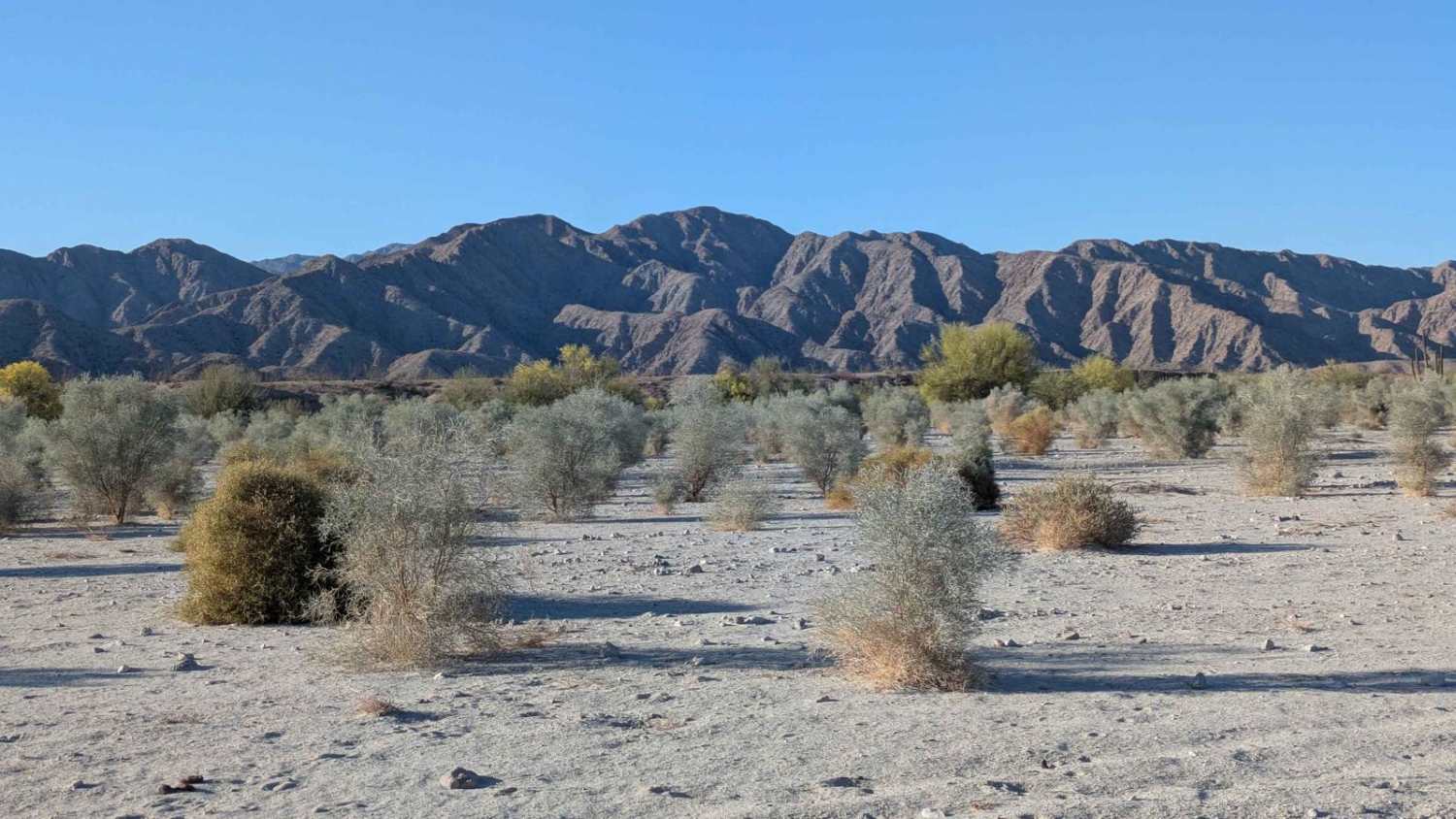
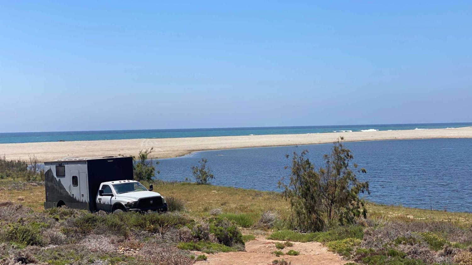
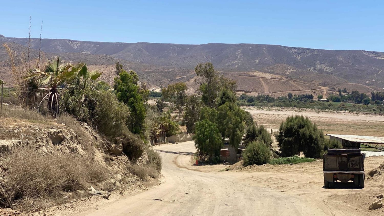
This is a short and straightforward route accessible to any vehicle, as long as you stop upon reaching the beach. To enter, take the dirt track through the farms and ranches from the main road in Rosario and a left at the Playa La Bocana sign. The beach at the end is stunning, but if you want to continue from there, be prepared for increased difficulty and the need for a 4WD vehicle. With the appropriate vehicle and deflated tires, you can head to the right over the dunes and discover pleasant spots on the beach. However, going left towards the end of the marked route leads to very deep sand. Once you leave the sandy area, the path becomes rocky and concludes less than half a mile away from the starting point on the beach. Beyond this point, the trail continues, but it becomes significantly more challenging and requires a more capable vehicle than the one used to map the route.
Photos of Playa La Bocana Rosario
Difficulty
Be aware this is an easy route unless you continue past the sand on the beach. That section requires 4WD, low air pressure, experience driving in sand, and recovery gear should be readily available.
Status Reports
Playa La Bocana Rosario can be accessed by the following ride types:
- High-Clearance 4x4
- SUV
- SxS (60")
- ATV (50")
- Dirt Bike
Playa La Bocana Rosario Map
Popular Trails

Valle Tranquilo Nature Reserve Loop

Around Cerro Anegado

Octillo y Cacti Wash

Beach Road to the Coastal Route
The onX Offroad Difference
onX Offroad combines trail photos, descriptions, difficulty ratings, width restrictions, seasonality, and more in a user-friendly interface. Available on all devices, with offline access and full compatibility with CarPlay and Android Auto. Discover what you’re missing today!

