Playa San Ramon & Laguna Figueroa
Total Kilometers
31.5
Technical Rating
Best Time
Spring, Summer, Fall, Winter
Trail Type
Full-Width Road
Accessible By
Trail Overview
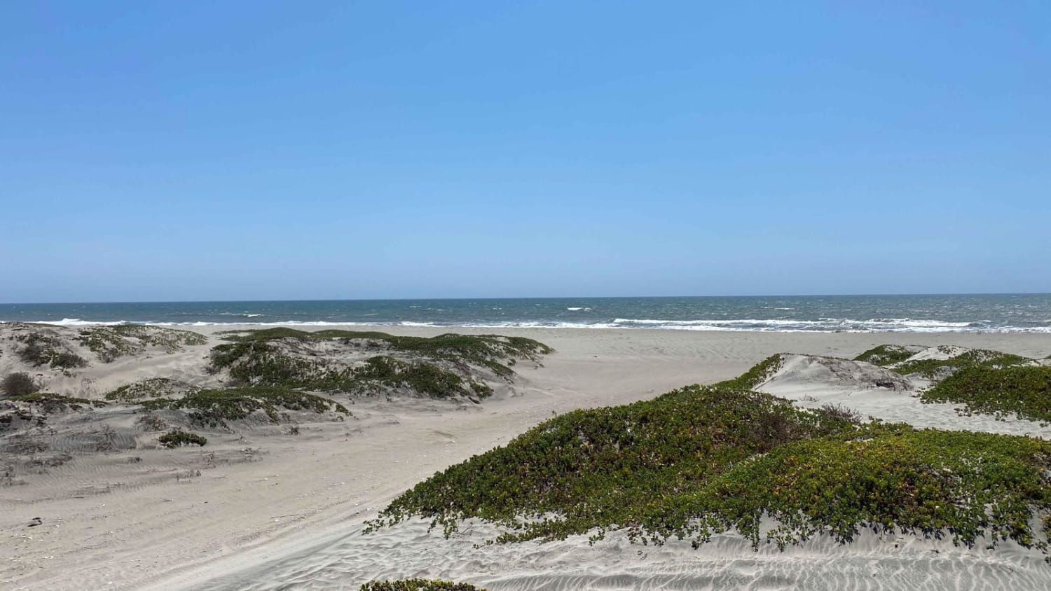
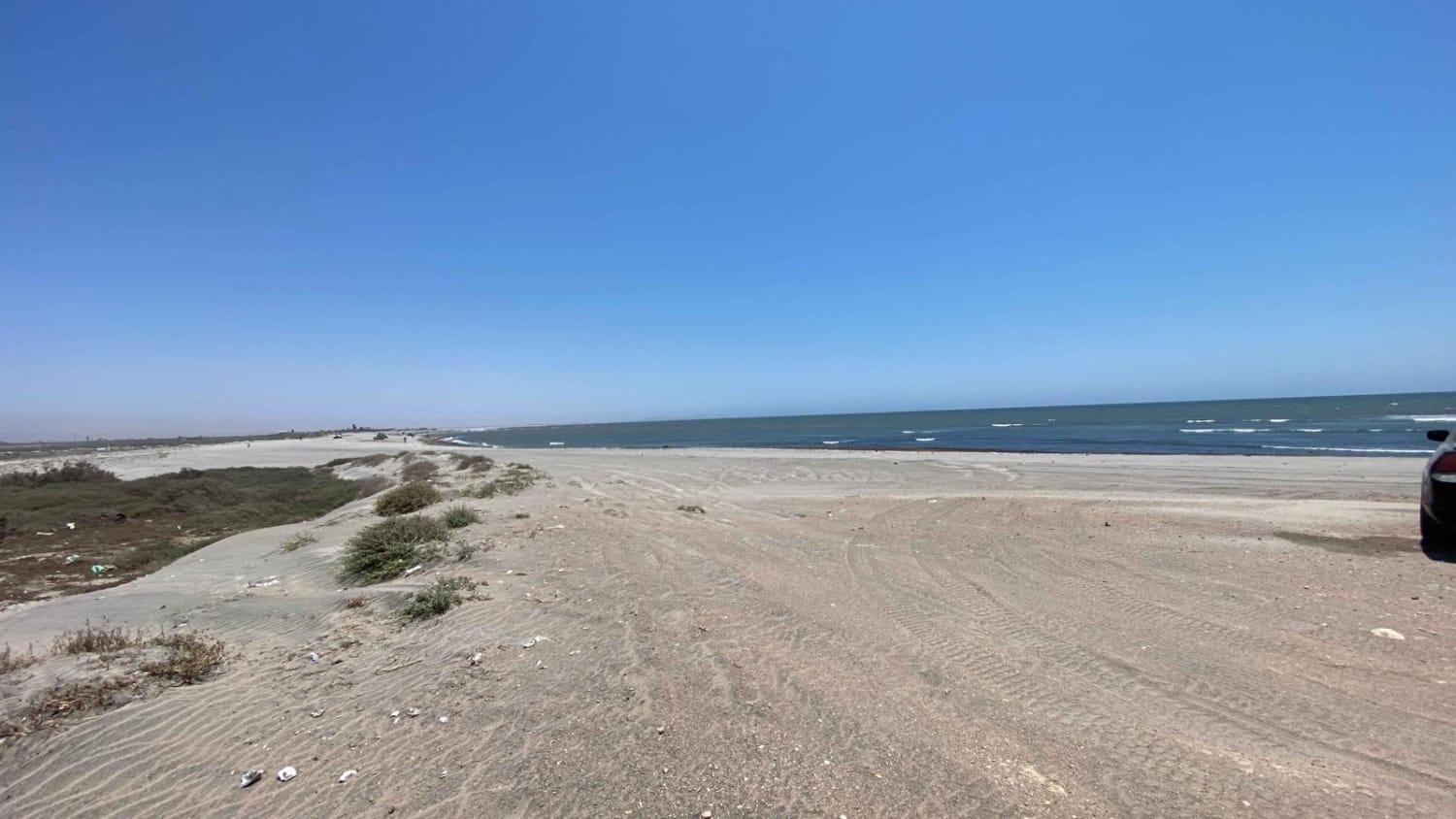
This route offers an adventure that can be completed in under two hours, encompassing various off-pavement segments, including driving through washes, along a beach, and around a lagoon. It is advisable to deflate your tires for added comfort, particularly during the beach sections. After passing the bridge, execute a right U-turn and descend into the wash. Initially, the road may be rocky, but soon you will find yourself in the middle of the wash where, depending on the conditions, 4WD may be necessary. Leaving the wash, you will merge onto the long washboard road that you bypassed by taking the wash route. As you approach the popular beach area, make a left turn, ensuring that you engage 4WD and have recovery equipment available. Most 4WD vehicles should have no difficulty navigating this section. Once you pass through the beach segment, the road becomes smoother and runs parallel to the beach, just beyond the sand dunes. Exercise caution when encountering a gate that has a deep rut or trench aligned with the gate posts. Continuing on, the road remains relatively smooth, with options to the right that allow you to ascend the dunes and access a more secluded beach area. While driving around Laguna Figueroa, you may come across several new fences and road options, but during the time of this route's description, it was clear of gates and fences. Finally, as you traverse the farmlands, you will descend into another wash that leads you back to Highway One at San Quintin.
Photos of Playa San Ramon & Laguna Figueroa
Difficulty
Although this is classified as a level 2 trail there are two sandy sections in the wash and on the beach which will definitely require 4WD. During rain season or storms it is not recommended to venture into the riverbeds and washes.
History
Laguna Figueroa is the most important breeding and wintering area in Baja California for Several priority bird species.
Status Reports
Popular Trails

Rancho Juan Road

El Compadre North to Laguna Hanson Crossover

El Camino a la Mina

Old El Compadre Loop
The onX Offroad Difference
onX Offroad combines trail photos, descriptions, difficulty ratings, width restrictions, seasonality, and more in a user-friendly interface. Available on all devices, with offline access and full compatibility with CarPlay and Android Auto. Discover what you’re missing today!


