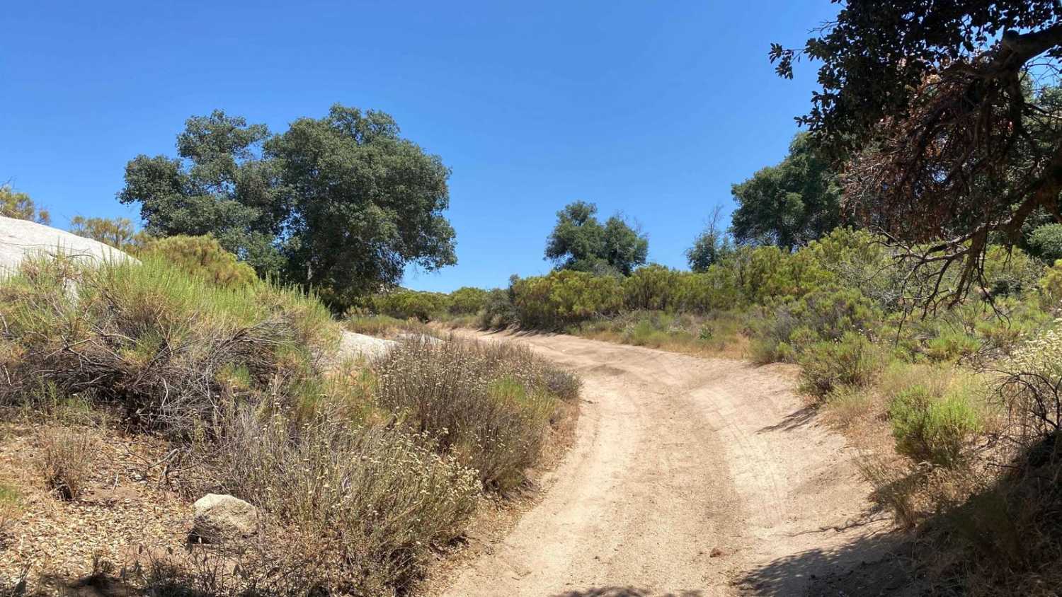
El Compadre North to Laguna Hanson Crossover
Total Kilometers
24.4
Technical Rating
Best Time
Spring, Summer, Fall, Winter
Trail Type
High-Clearance 4x4 Trail
Accessible By
Trail Overview
This off-road trail offers a diverse and challenging experience, starting in the northern section of El Compadre and concluding just north of where the two Laguna Hanson routes converge. Enthusiasts can expect a mix of terrains, ranging from Baja 1000-style sandy whoop sections to rugged high desert scrub oak areas with rocks and steep grades, as well as leisurely smooth roads meandering through pine forests and passing a few ranches. Beginning on the El Compadre side, the trail starts as a winding high desert road that becomes increasingly sandy. It descends into a wash, featuring a long section of whoops and soft sand. Shortly after, the route transitions into steep, rocky climbs and descents. The middle section is the most challenging, with rain ruts up to three to four feet deep. However, alternative paths around the most difficult sections can often be found by looking to the left or right. Adventurers should be prepared to stack rocks or use recovery gear such as Maxtrax or a shovel if necessary. About two-thirds along the trail, drivers will find themselves navigating a dry stream bed, which may become a flowing stream during the wet season. As the route nears its end, it traverses a few miles of 2 to 4-inch deep sand through intriguing terrain. Throughout the journey, the trail is teeming with wildlife, including beautiful birds, rabbits, and other animals. Tracks of deer and cats are also frequently seen. The sights and sounds of this crossing are truly spectacular, making it an excellent route for those looking to explore from the El Compadre side over to La Rumorosa or up to Laguna Hanson.
Photos of El Compadre North to Laguna Hanson Crossover
Difficulty
During the dry months, this trail typically rates as a 4 or 5 in difficulty. However, during the wet months, certain sections can transform dramatically, with 3-foot rain ruts turning into rivers, raising the difficulty level significantly. Therefore, it is crucial to stay informed about recent or upcoming weather conditions. Fortunately, the sections with severe rain ruts often have alternative routes available. This provides adventurers the opportunity to attempt challenging segments while retaining the option to backtrack and take an easier path if necessary.
Status Reports
El Compadre North to Laguna Hanson Crossover can be accessed by the following ride types:
- High-Clearance 4x4
- SxS (60")
- ATV (50")
- Dirt Bike
El Compadre North to Laguna Hanson Crossover Map
Popular Trails

Rancho El Coyote Road

Around Cerro Anegado

Cerro Santa Teresa

12 South Loop
The onX Offroad Difference
onX Offroad combines trail photos, descriptions, difficulty ratings, width restrictions, seasonality, and more in a user-friendly interface. Available on all devices, with offline access and full compatibility with CarPlay and Android Auto. Discover what you’re missing today!

