Valle de Guadalupe to Russian Valley Hot Springs
Total Kilometers
12.2
Elevation
123.62 m
Duration
1 Hours
Technical Rating
Best Time
Spring, Fall, Winter
Trail Overview
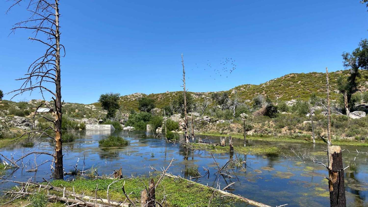
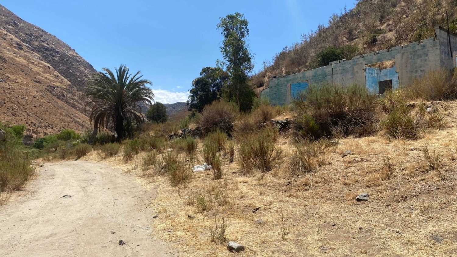
Embark on a rugged adventure beginning at Via de Guadalupe and culminating at the serene Russian Valley Hot Springs. This off-road trail necessitates a four-wheel-drive vehicle due to the deep sands encountered in the washes. Alternatively, for those seeking a shorter journey, you can divert at Highway 3, turning right onto a paved road that eventually rejoins the original trail, shaving off approximately two miles from the trip and is fine for 2WD vehicles. Your journey commences in Valle de Guadalupe, where the trailhead is located within a residential area across Highway 3. Navigate through a narrow passage, leading you cross a dry riverbed. This path continues along the wash until it intersects with the main road to Russian Valley Hot Springs and its captivating waterfall. The initial segment of the trail, though less scenic, is quickly overshadowed by the picturesque vistas as you wind through the undulating hills of wine country. Upon passing the vineyards, you will encounter a stop sign near a house, where a small fee is required to proceed towards the Hot Springs and waterfall. However, if unattended and the gate is open, you may continue without interruption. There is a sign here that indicates motorcycles are prohibited. The next half-mile of the trail is particularly scenic, eventually crossing a riverbed to reach the terminus for motorized vehicles. From this point, a short 1/3 mile hike leads you to the main Hot Springs and waterfall. Be mindful that during summer, the waterfall may run dry, and water levels in the Hot Springs could be low. The optimal time for a visit is post-rainstorm, allowing for some drying time to avoid complications with river crossings immediately following heavy rains.
Photos of Valle de Guadalupe to Russian Valley Hot Springs
Difficulty
Although this trail is relatively easy, there are two riverbeds with over 4 inches of sand that can turn into water crossings during and after storms. If you're driving a 2WD vehicle or seeking a quicker route, take Highway 3 towards Tecate and turn right onto the paved road that merges into this trail.
Status Reports
Popular Trails

Old Road to Rancho Venados

Rancho El Papalote Road

Around Cerro Anegado

Rancho Casa Verde Road to Laguna Hanson El Compadre Route
The onX Offroad Difference
onX Offroad combines trail photos, descriptions, difficulty ratings, width restrictions, seasonality, and more in a user-friendly interface. Available on all devices, with offline access and full compatibility with CarPlay and Android Auto. Discover what you’re missing today!

