Valley of the Volcanoes to Punta Mazo Natural Reserve
Total Kilometers
20.4
Elevation
16.35 m
Duration
3 Hours
Technical Rating
Best Time
Spring, Summer, Fall, Winter
Trail Overview
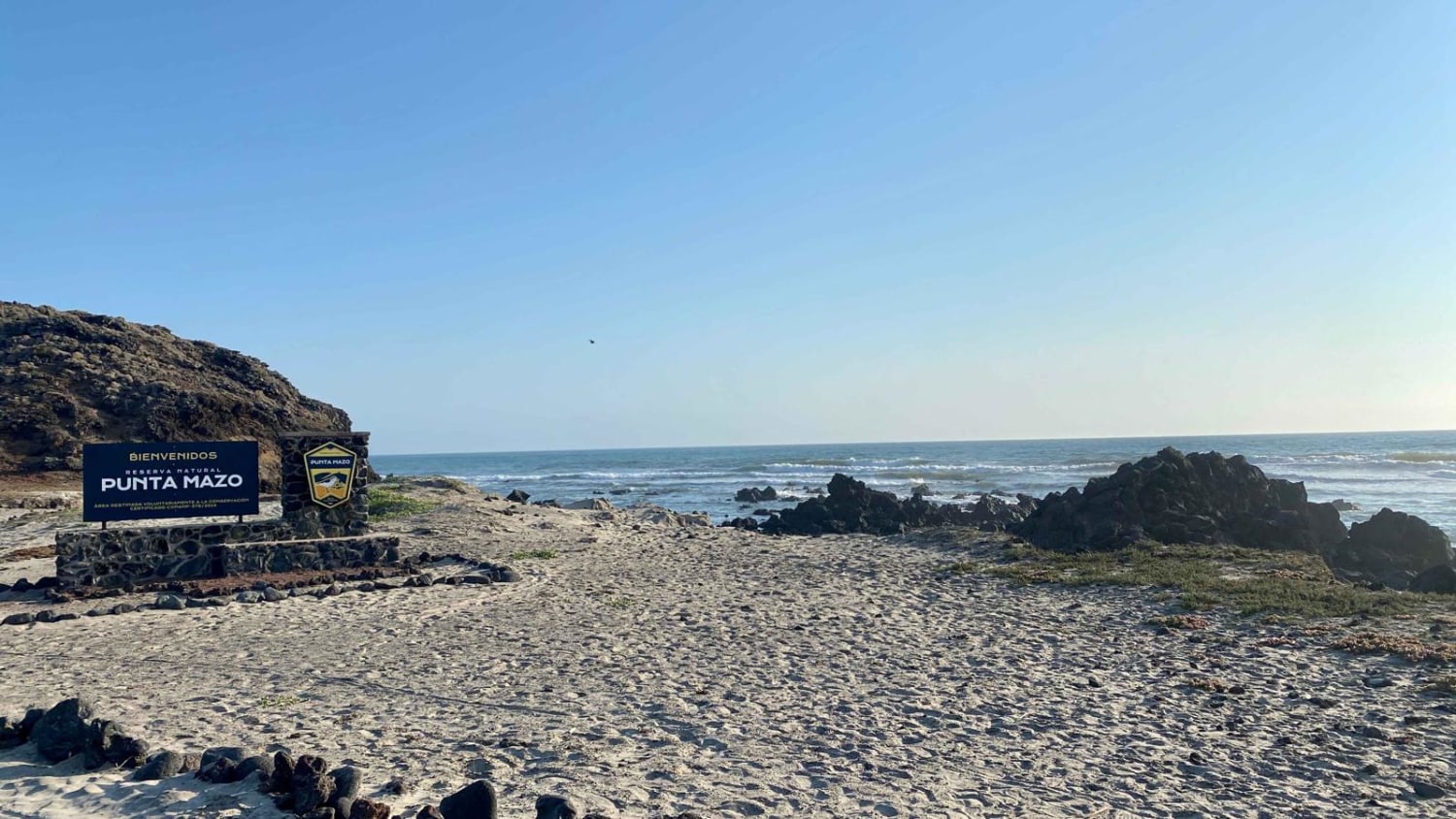
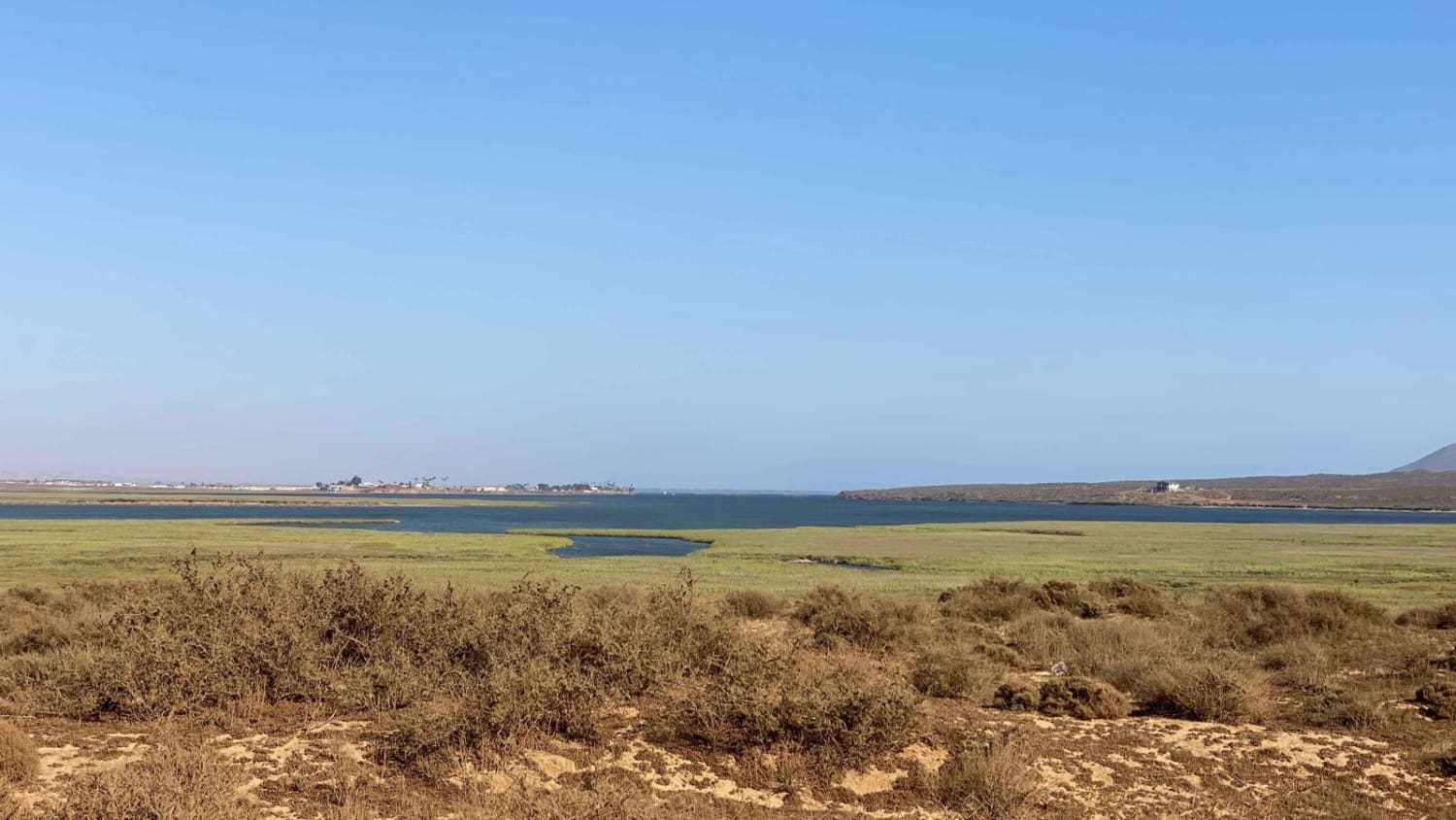
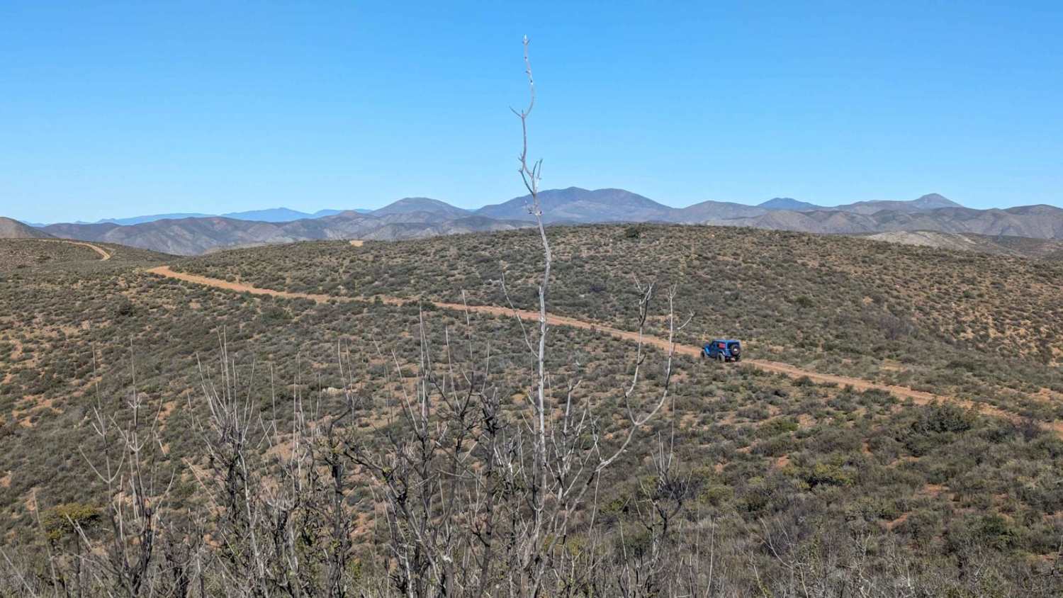
The journey begins at Ejido Chapala, where the paved road transitions into a dirt path. While the road may be uncomfortably bumpy due to washboard patterns, it should not discourage adventurous travelers. You have the option to air down your tires or consider an alternative route provided by onX, which will be detailed later. It is important to note that the road conditions are rough. The scenic beauty along the entire route is nothing short of remarkable. Starting from the outset, you will be treated to beautiful vistas that gradually transform into truly spectacular sights. As you navigate around San Quintin Bay, you'll weave through volcanoes and pass by shrimp and clam operations, immersing yourself in the local coastal ambiance. The journey leads you to a lookout point and eventually to La Chorera, where the road becomes smoother. Before crossing the beach, it is advisable to deflate your tires a bit if you haven't already done so. Once you've crossed the beach, you will ascend to the cliffs and enter the Natural Reserve area. Here, you will discover an array of incredible campsites nestled between a volcano and the vast expanse of the Pacific Ocean. The views in this area are boundless, offering a sense of tranquility and natural splendor. At some point, you will encounter a gate monitored by a park ranger. The ranger will request your information for safety purposes, but no fees will be charged. Beyond this point, you can continue driving for approximately another mile or so before reaching the end. Alternatively, you have the option to drive up from the beach to the point beyond the conclusion of this track, which provides additional exploration opportunities including lighthouses and additional campsites. Overall, this route promises a thrilling adventure with awe-inspiring landscapes, a variety of natural features, and the chance to immerse yourself in the unspoiled beauty of the area.
Photos of Valley of the Volcanoes to Punta Mazo Natural Reserve
Difficulty
This trail is accessible by any 4WD or high clearance 2WD with an experienced driver who understands driving in sand. Beach crossings are always a risk as tides change as do depths of sand and other factors. The park itself other than the beach section should present no issues for 2WD vehicles. Recovery boards are also highly recommended if you drive from the beach to the lighthouse.
History
The formation of the Punta Mazo Nature Reserve dates back 180 thousand years ago when the volcanic valley witnessed the emergence of 12 volcanoes. Among them, the Sudoeste and Mazo volcanoes played a significant role in shaping the area, initially appearing as isolated islands beneath the sea. Over time, the relentless action of ocean currents facilitated the accumulation of sand, ultimately giving birth to a distinctive and breathtaking landscape.Stretching along a 4.9-mile-long peninsula, the reserve is nestled within the coastal region of San Quintin. This area is not only inhabited by fishing communities but also serves as a home to various wildlife species, including rattlesnakes, legless lizards, hares, rabbits, squirrels, and coyotes.The reserve offers a diverse range of habitats, allowing visitors to explore coastal dunes, volcanic formations, coastal scrublands, and rocky intertidal areas. Each habitat boasts unique vegetation and hosts a remarkable array of fauna, making the reserve a captivating destination for nature enthusiasts.
Status Reports
Popular Trails
Bahia de las Animas
Cerro Las Pinitas

Route to Ejido Benito Juarez
The Holy Grail from Punta Colonet to El Coyote Ranch
The onX Offroad Difference
onX Offroad combines trail photos, descriptions, difficulty ratings, width restrictions, seasonality, and more in a user-friendly interface. Available on all devices, with offline access and full compatibility with CarPlay and Android Auto. Discover what you’re missing today!
