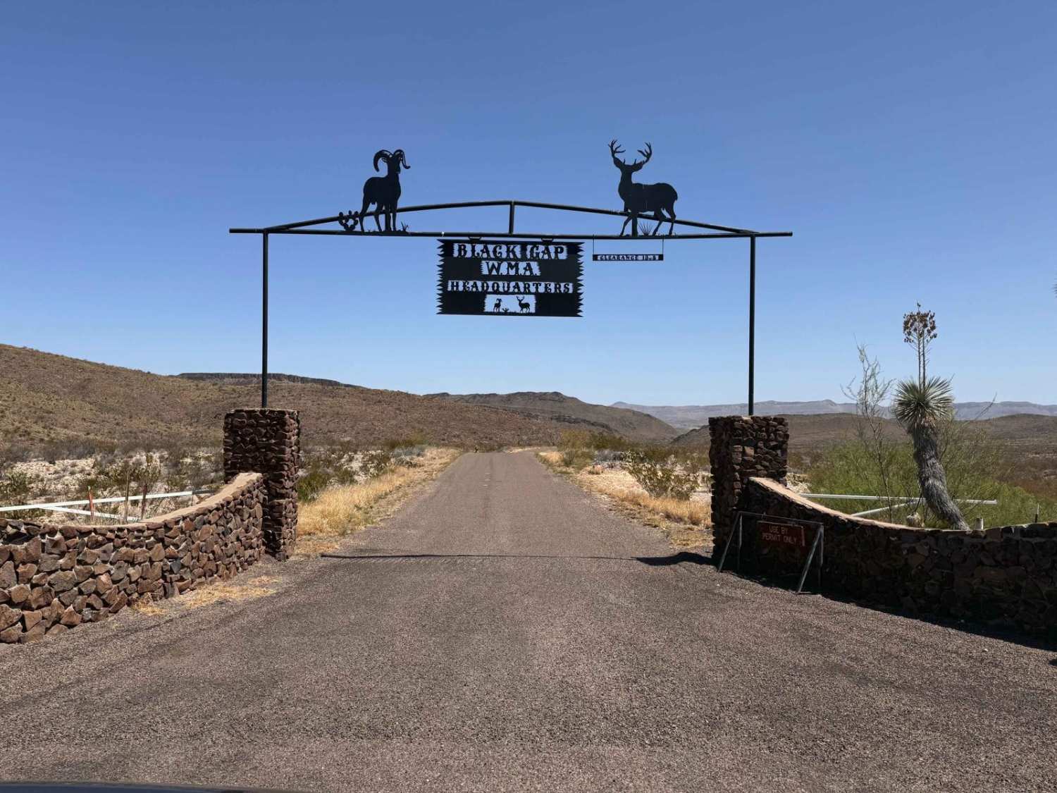
Black Gap Wildlife Management Area Road
Total Kilometers
48.6
Elevation
215.52 m
Duration
3 Hours
Technical Rating
Best Time
Spring, Fall, Winter
Trail Overview
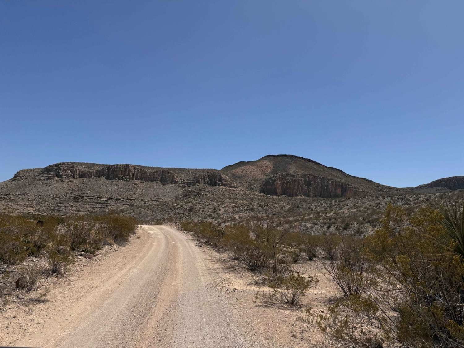
Black Gap Wildlife Management Area Road is a well-graded dirt road through one of the most remote portions of West Texas. This management area is home to the first reintroduction of big horn sheep in Texas and continues to be an area of wildlife management research. The scenery on this road is incredible with high cliffs, open spaces, and views of mountains well into Mexico. There are numerous remote camping spots along the trail (permits required) and numerous places where you can access the Rio Grande River. Be sure to bring plenty of water in case of emergency. A satellite messaging service is also highly recommended due to the remoteness and the fact that this area does not receive many visitors.
Photos of Black Gap Wildlife Management Area Road
Difficulty
Black Gap Wildlife Management Area Road is usually very well graded and smooth to the point where almost any vehicle can travel on it. After rain, though, it can become very slippery and possibly washed out in the washes.
Status Reports
Popular Trails

Black Gap Wildlife Management Area Road
The onX Offroad Difference
onX Offroad combines trail photos, descriptions, difficulty ratings, width restrictions, seasonality, and more in a user-friendly interface. Available on all devices, with offline access and full compatibility with CarPlay and Android Auto. Discover what you’re missing today!
