West Fork Mine
Total Miles
8.0
Technical Rating
Best Time
Summer
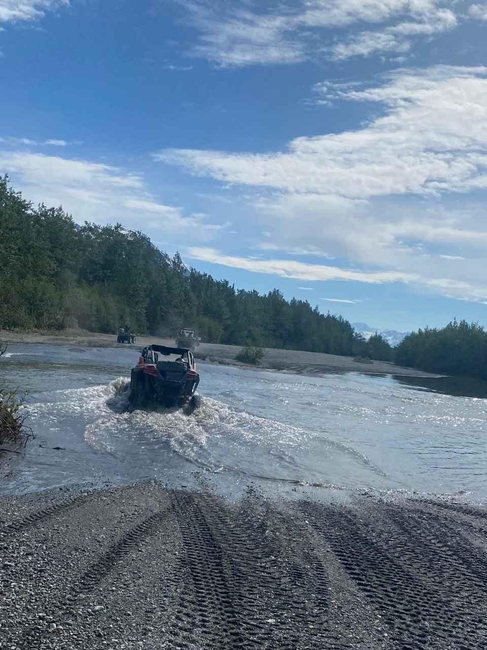
Trail Type
High-Clearance 4x4 Trail
Accessible By
Trail Overview
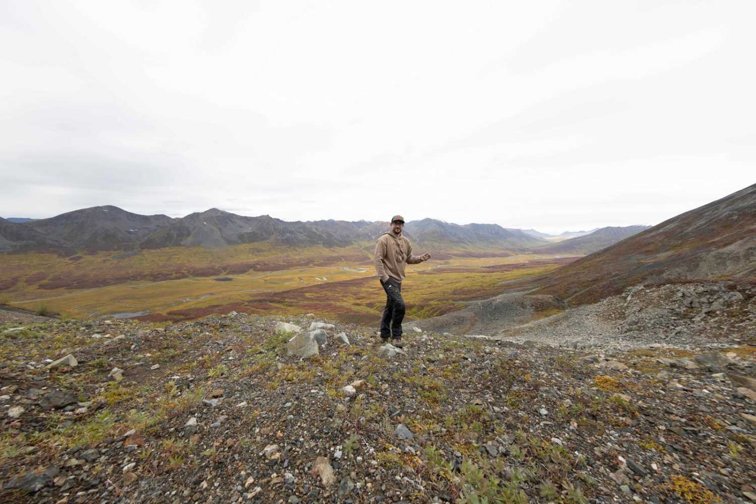
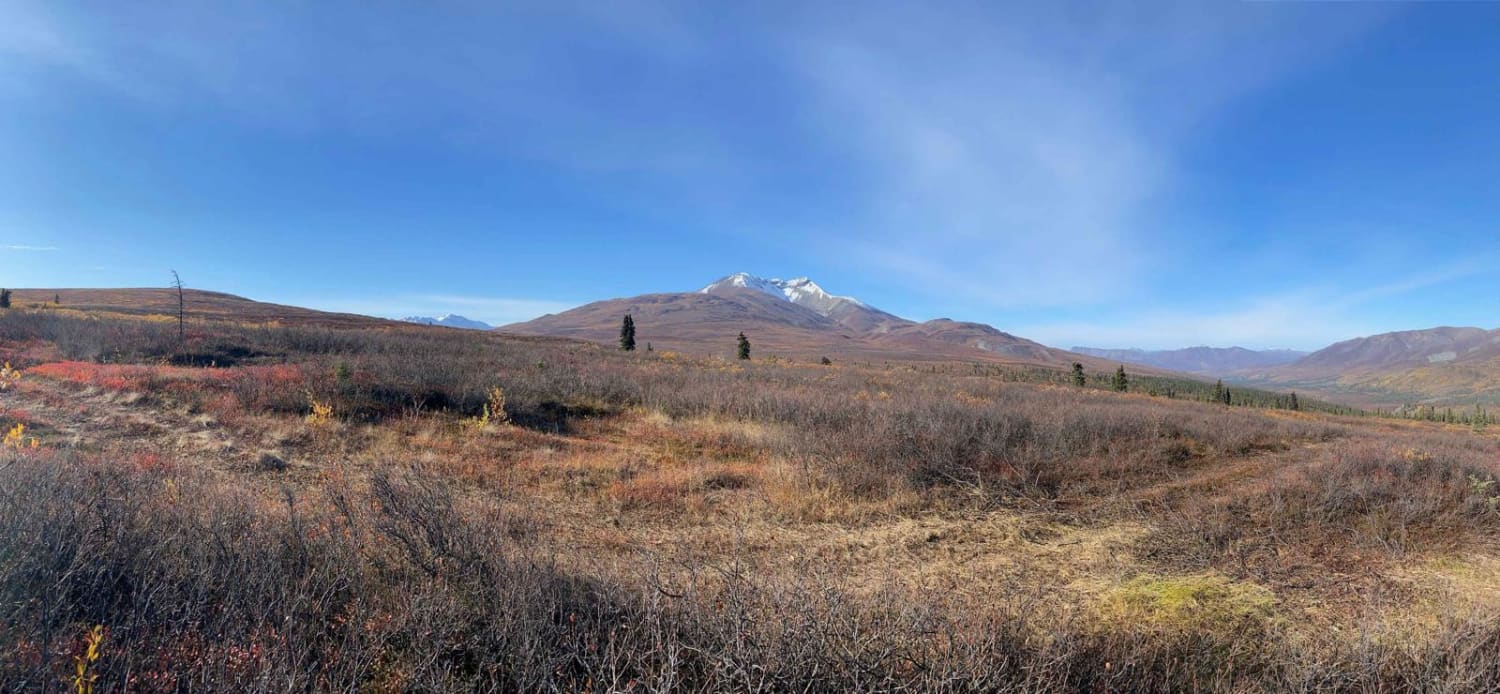
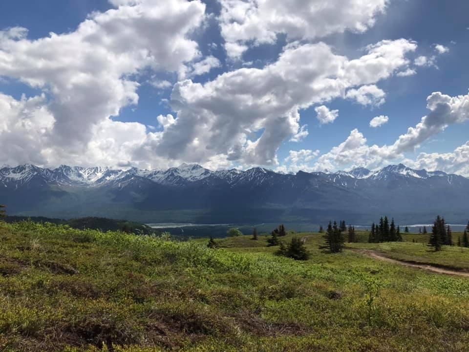
The West Fork Mine trail leads you high into the clearwater mountains off the Denali Highway culminating in spectacular views of the West Fork Maclaren River. This out-and-back trail starts and ends at the Maclaren River trail and is a total of 16 miles round trip. You won't be going fast on this trail as you climb your way into the alpine zone on an old mine road that is slowly being reclaimed by nature. Deep ruts and remnants of spring landslides are possible.
Photos of West Fork Mine
Difficulty
The trail has chances of deep ruts and landslides with the spring snowmelt. The trail heads into the alpine zone along an old mine road that has not been maintained for over a decade.
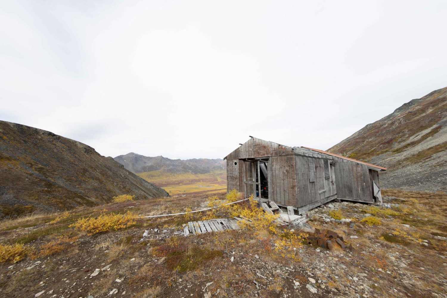
History
In 1950 E. 0. Albertson and F. S. Petty John, Jr., of Big Delta, Alaska, formed a partnership and prospected the vicinity of Chistochina, a gold-placer district on the south slope of the Alaska Range about 20 miles east of the Richardson Highway. From Chistochina they gradually worked westward until they reached the Maclaren River drainage. In 1952 Petty discovered an outcrop of a copper-bearing vein on the west side of the Maclaren Glacier. From August 11 to 14, 1953, the copper-bearing outcrops and adjacent areas were examined by R. M. Chapman of the U. S. Geological Survey and R. H. Saunders of the Department of Mines, Territory of Alaska.
Status Reports

Popular Trails
Knik Glacier

Sumner Pass 6282
Gunsight Mountain
The onX Offroad Difference
onX Offroad combines trail photos, descriptions, difficulty ratings, width restrictions, seasonality, and more in a user-friendly interface. Available on all devices, with offline access and full compatibility with CarPlay and Android Auto. Discover what you’re missing today!