Woodpecker Road 6245
Total Miles
18.0
Technical Rating
Best Time
Summer, Fall
Trail Type
Full-Width Road
Accessible By
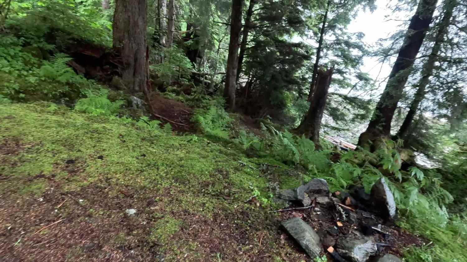
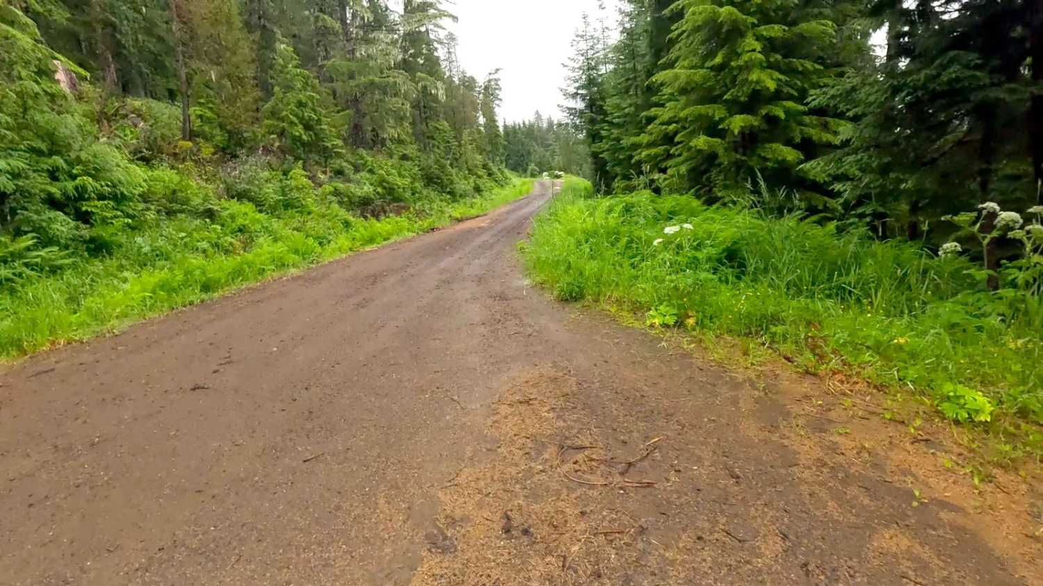
Trail Overview
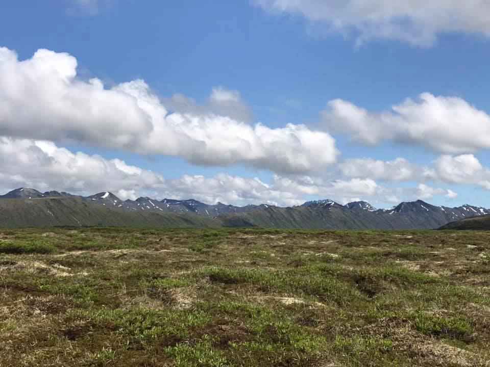
Woodpecker Road is mostly a dirt road with gravel or large rip rap. Some parts overgrown with tighter trails due to vegetation overgrowth and deterioration. There is lots of wildlife along this main road and offshoots. Rating is a 3 for most of the road and towards the end is rated a 4 due to road deterioration. Some areas are tight and only one lane, other areas you can get a 2nd rig by if you're careful. Low traffic on this road. Deep potholes in some areas, some narrow, windy road with a long drop off towards the end of the road. Time to complete this road will greatly vary depending on the time of year and weather conditions. There is a lot of wildlife in this area. Be safety minded as there are Brown Bear, Black Bear, Wolves, Moose, Deer, and Porcupines along this road. Driving on the road, you can see obvious signs of Brown and Black Bears, and will often see one running across the road, as well as Deer, and Porcupines. Weather plays a part in the level of difficulty as this is in a rainforest and a lot of these roads are going through areas of muskeg/wetlands. There are sections of loose rock and parts of the road have drop offs where there is a gain in elevation. There are great views of muskeg/wetlands and you can see the ocean on parts of the road. Towards the end of the road, there is access to the beach through a campsite area and also Woodpecker Cove. Large skunk cabbage, devils club, tall grass, as well as a variety of trees, lichens, moss and flowers can be seen along the road. Views: Sumner Strait, Woodpecker Cove, Wrangell Narrows. There are 3 dry camping spots along the main road. The end of the road has a nice camp area with a turnaround that could fit a very small trailer or 2 vehicles. There is a rock pit area where you could do a group camp out with multiple vehicles, and a beach campsite that could fit 2 vehicles or a smaller trailer and vehicle that has 2 fire pits, walking trails, and access to the beach. Trails: Ohmer Creek Trailhead entrance is at the start of WoodPecker Road, right after turning off of 7, you will see the Trailhead sign on the right. Bridges: Multiple old wooden bridges are used to cross over creeks. Warnings: Keep on the road (Muskeg and wetlands), watch for signs of road deterioration or washouts due to heavy rainfall. Be mindful of wildlife, especially Bears. No cell service noted. Check weather conditions and be prepared for rain, fog with low visibility, and lower temperatures. It is a rainforest. Suggested best time of year: June - October. Note: This road is a down and back.
Photos of Woodpecker Road 6245

Difficulty
Rating is a 3 for most of the road and towards the end is rated a 4 due to road deterioration. Some areas are tight and only one lane, other areas you can get a 2nd rig by if you're careful. Low traffic on this road. Deep potholes in some areas, some narrow, windy road with a long drop off towards the end of the road.
Status Reports
Woodpecker Road 6245 can be accessed by the following ride types:
- High-Clearance 4x4
- SUV
- SxS (60")
- ATV (50")
- Dirt Bike
Woodpecker Road 6245 Map
Popular Trails
Purchase Creek

Frenchy Spur Road
The onX Offroad Difference
onX Offroad combines trail photos, descriptions, difficulty ratings, width restrictions, seasonality, and more in a user-friendly interface. Available on all devices, with offline access and full compatibility with CarPlay and Android Auto. Discover what you’re missing today!