1621C Ruts and Junipers
Total Miles
3.2
Technical Rating
Best Time
Fall, Spring
Trail Type
Full-Width Road
Accessible By
Trail Overview
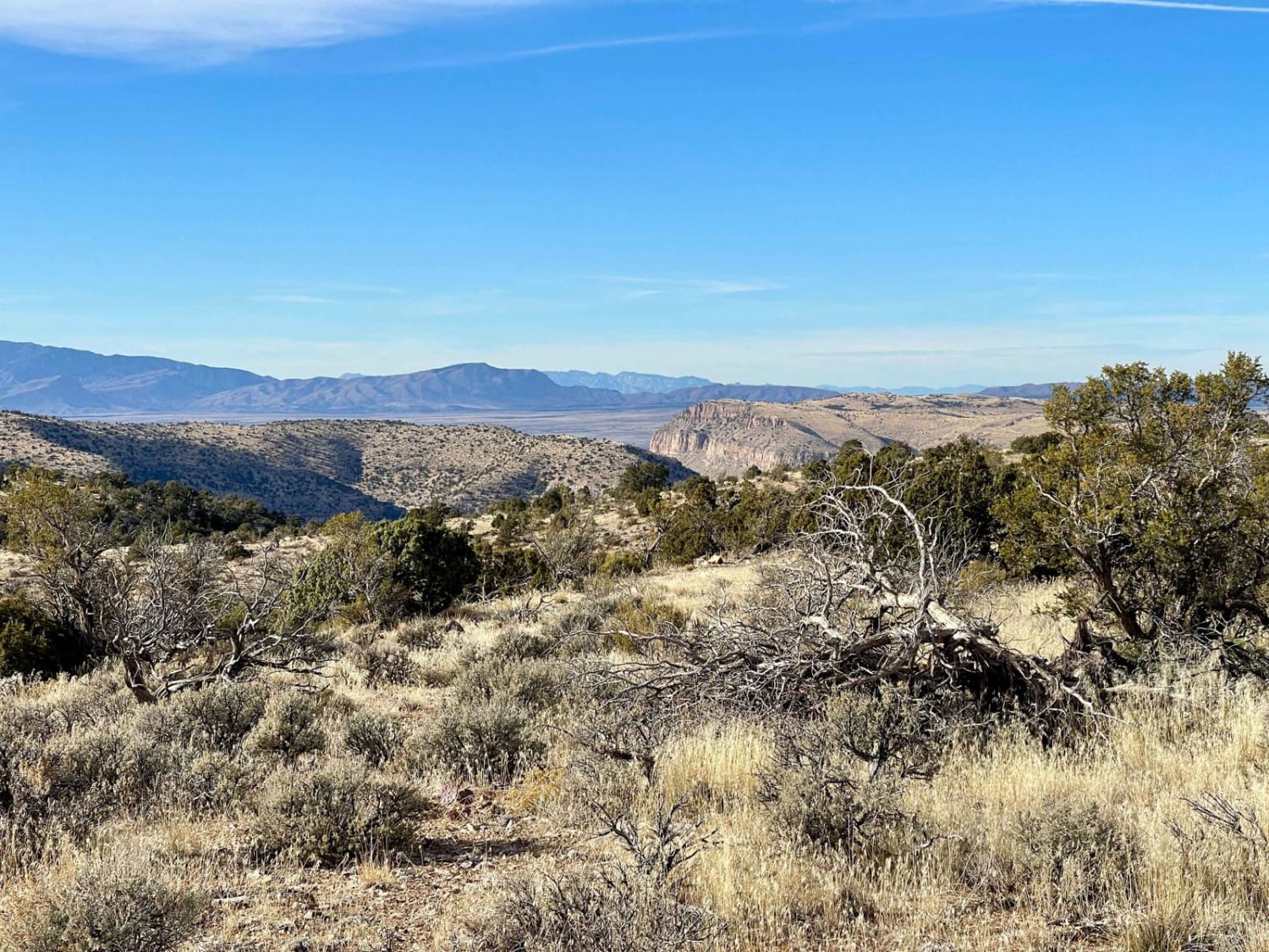
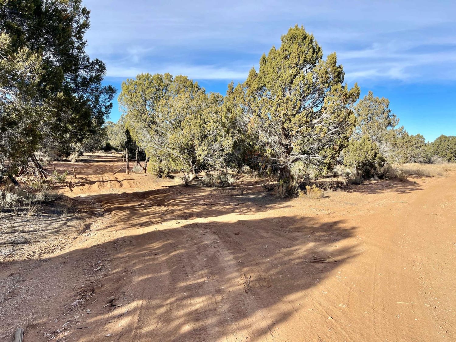
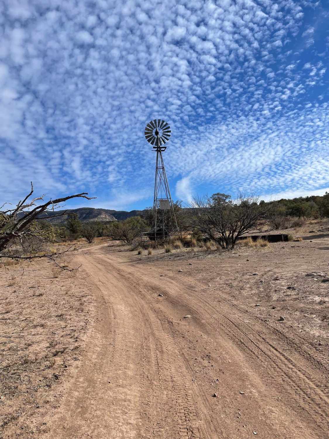
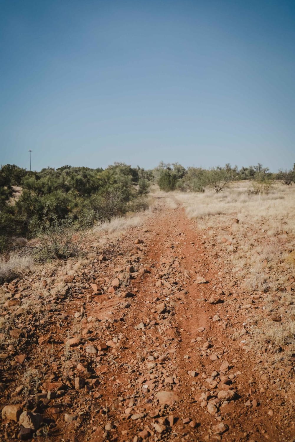
As the title suggests, this trail is becoming lightly rutted from use when wet. Avoiding it under rainy conditions or after a snow melt is advisable. It is, however, a nice run along the ridge with one dispersed campsite with a fire ring under a large, lovely tree. In addition, there are plenty of flat spots you could select if you need a place to sleep for the night. There are cattle fenced on both ends of the trail, so please keep them in whatever state they were in when passing through. If open, leave open. If closed, close after you pass. Near the northern end is a massive rainwater collection system. Please do not disturb it, as this is for cattle and wildlife. This area is very remote, and help is a long way away. Be sure to bring a satellite communication device and be sure somebody knows your travel plans. There is no cell service out here, so plan and download your offline maps and bring plenty of water. It is a desert, after all.
Photos of 1621C Ruts and Junipers
Difficulty
The trail is easy and generally two-track, with room to pass any oncoming traffic you may encounter. Avoid this trail if the ground is wet, as decent-sized ruts are forming and they would only become deeper. Watch for sharp rocks hiding in the tall grasses. They could cause sidewall damage.
History
The Arizona Strip is a vast arid region on the north side of the Grand Canyon that encompasses a variety of landscapes and climates within its nearly 3 million acres, as well as centuries of human history. It is 200 miles long and accessed only by two major highways on either end. Because of its lack of easy access, the Strip remains one of the most remote and least-visited parts of the state.
Status Reports
1621C Ruts and Junipers can be accessed by the following ride types:
- High-Clearance 4x4
- SUV
- SxS (60")
- ATV (50")
- Dirt Bike
1621C Ruts and Junipers Map
Popular Trails
Presiden't Choice Trail
Beyond Escudilla
Crucifixion #9703
The onX Offroad Difference
onX Offroad combines trail photos, descriptions, difficulty ratings, width restrictions, seasonality, and more in a user-friendly interface. Available on all devices, with offline access and full compatibility with CarPlay and Android Auto. Discover what you’re missing today!
