2607 Road
Total Miles
4.9
Elevation
2,038.17 ft
Duration
--
Technical Rating
Best Time
Summer, Spring, Fall
Trail Overview
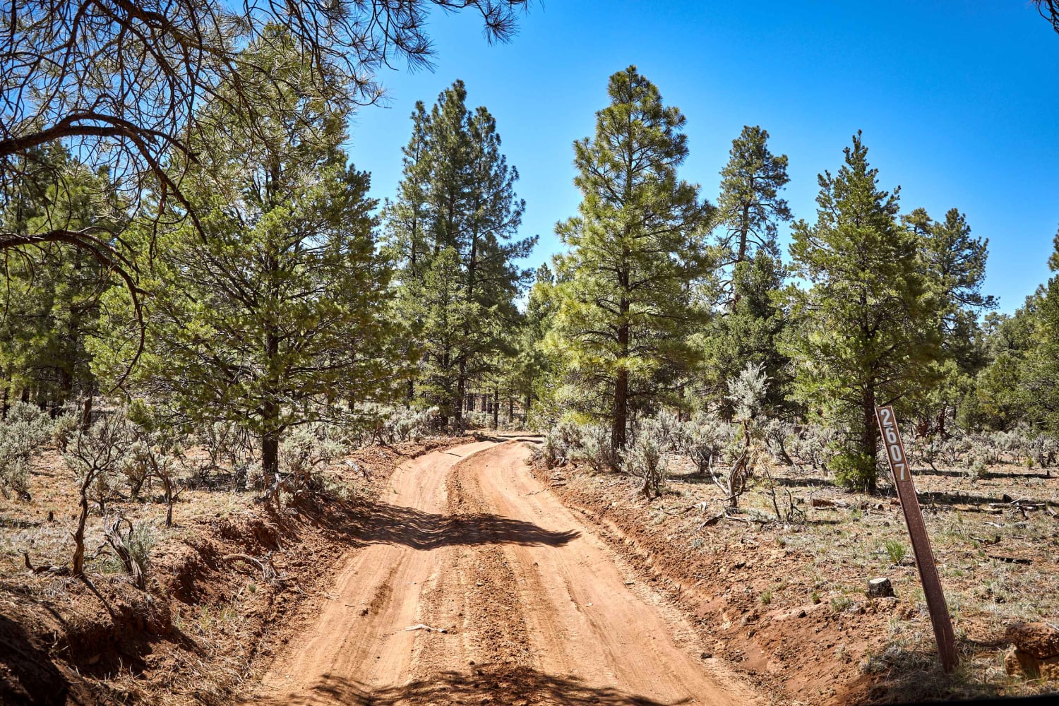
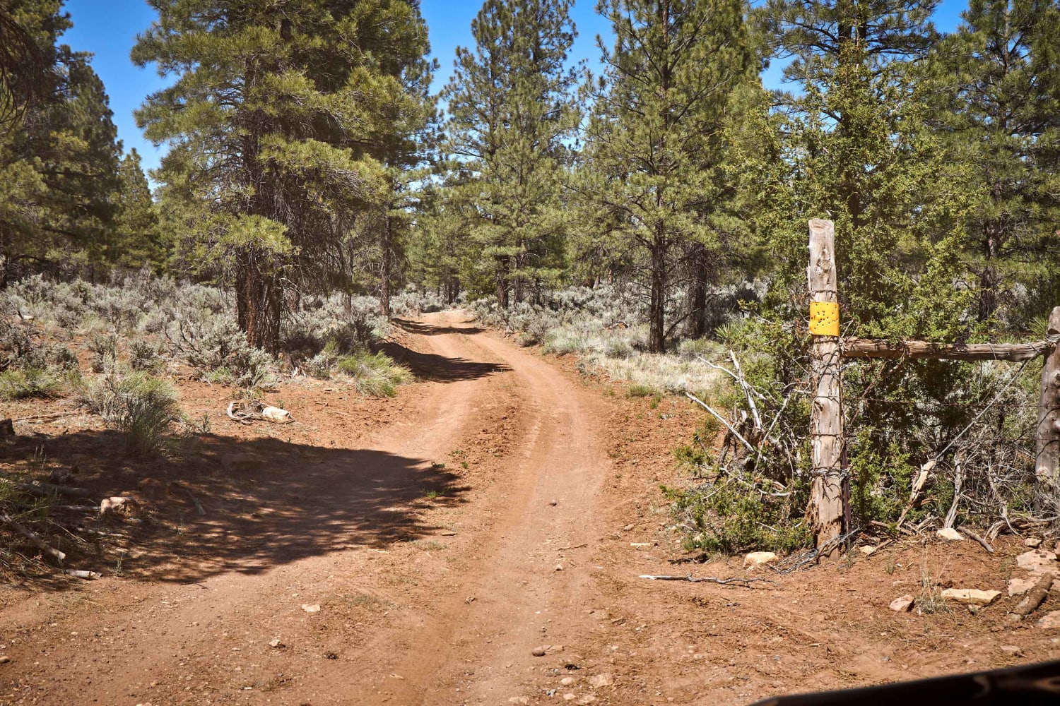
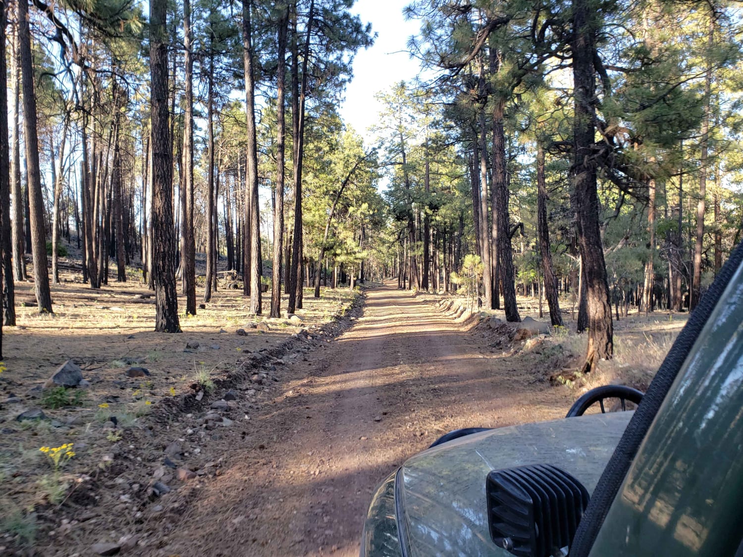
The 2607 Road trail runs to the west of the Tusayan airport, so don't be surprised if your journey has a soundtrack of helicopters. This trail runs through a forest of old-growth Ponderosa pines and juniper that make up the forests near the Grand Canyon. With a few campsites closer to Tusayan, you'll find the road nearer to the airport rougher, with more turns and rocks in the trail. Still, there are no major obstacles stopping you from exploring the forests here. With any luck, you'll see Elk, Wild Horses, and Deer populating the area along this trail.
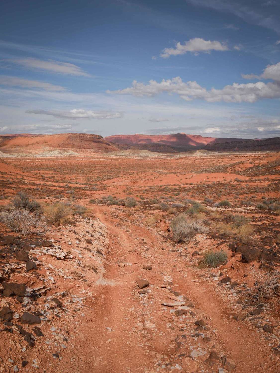
Photos of 2607 Road
Difficulty
This unmaintained road may prove challenging after rain or snow.
Status Reports
Popular Trails
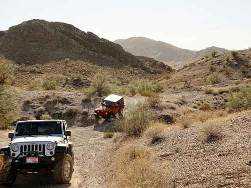
El Supremo
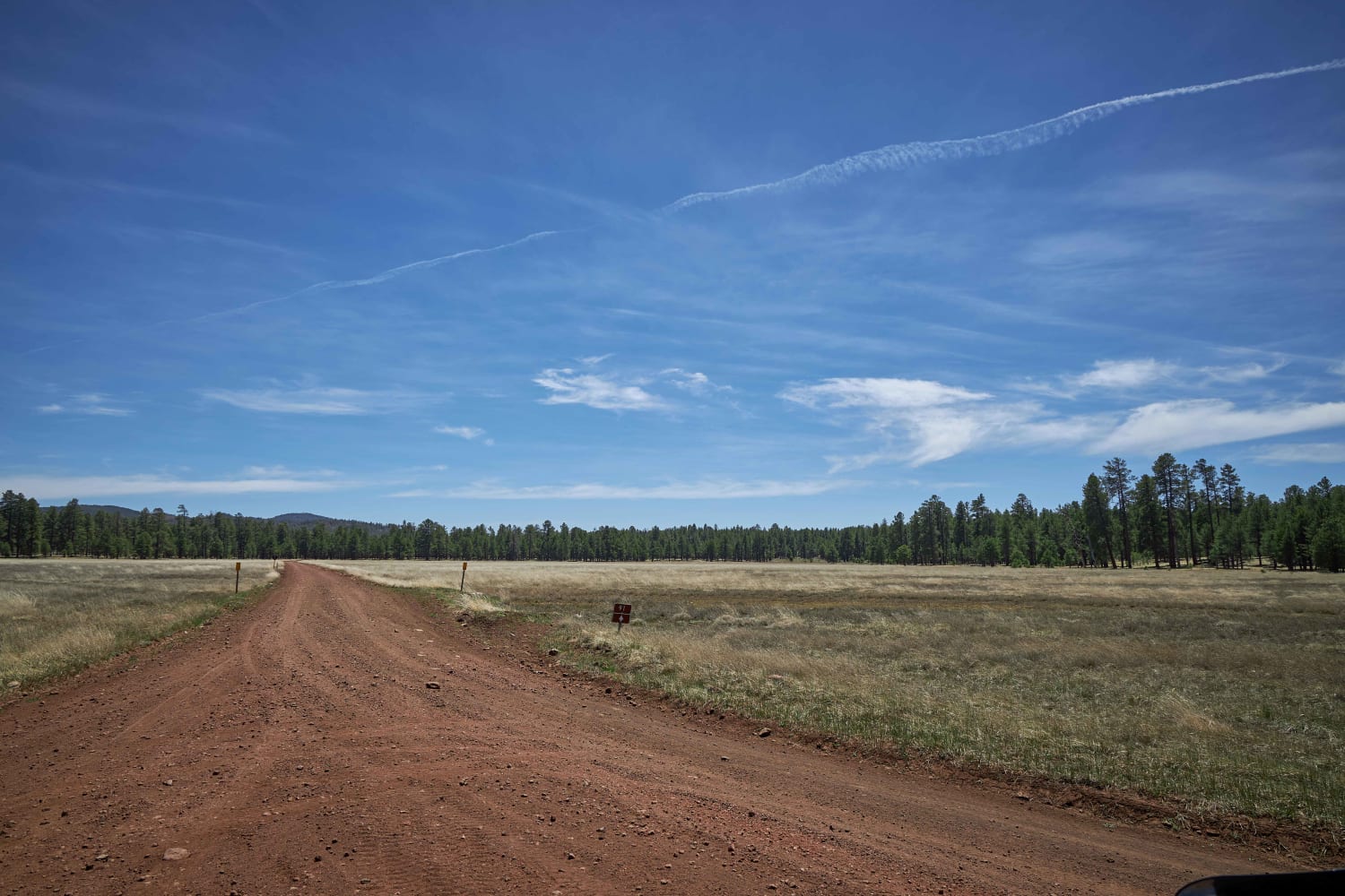
Sheep Springs Road
The onX Offroad Difference
onX Offroad combines trail photos, descriptions, difficulty ratings, width restrictions, seasonality, and more in a user-friendly interface. Available on all devices, with offline access and full compatibility with CarPlay and Android Auto. Discover what you’re missing today!
