416Main
Total Miles
7.0
Elevation
2,229.92 ft
Duration
1 Hours
Technical Rating
Best Time
Spring, Summer, Fall
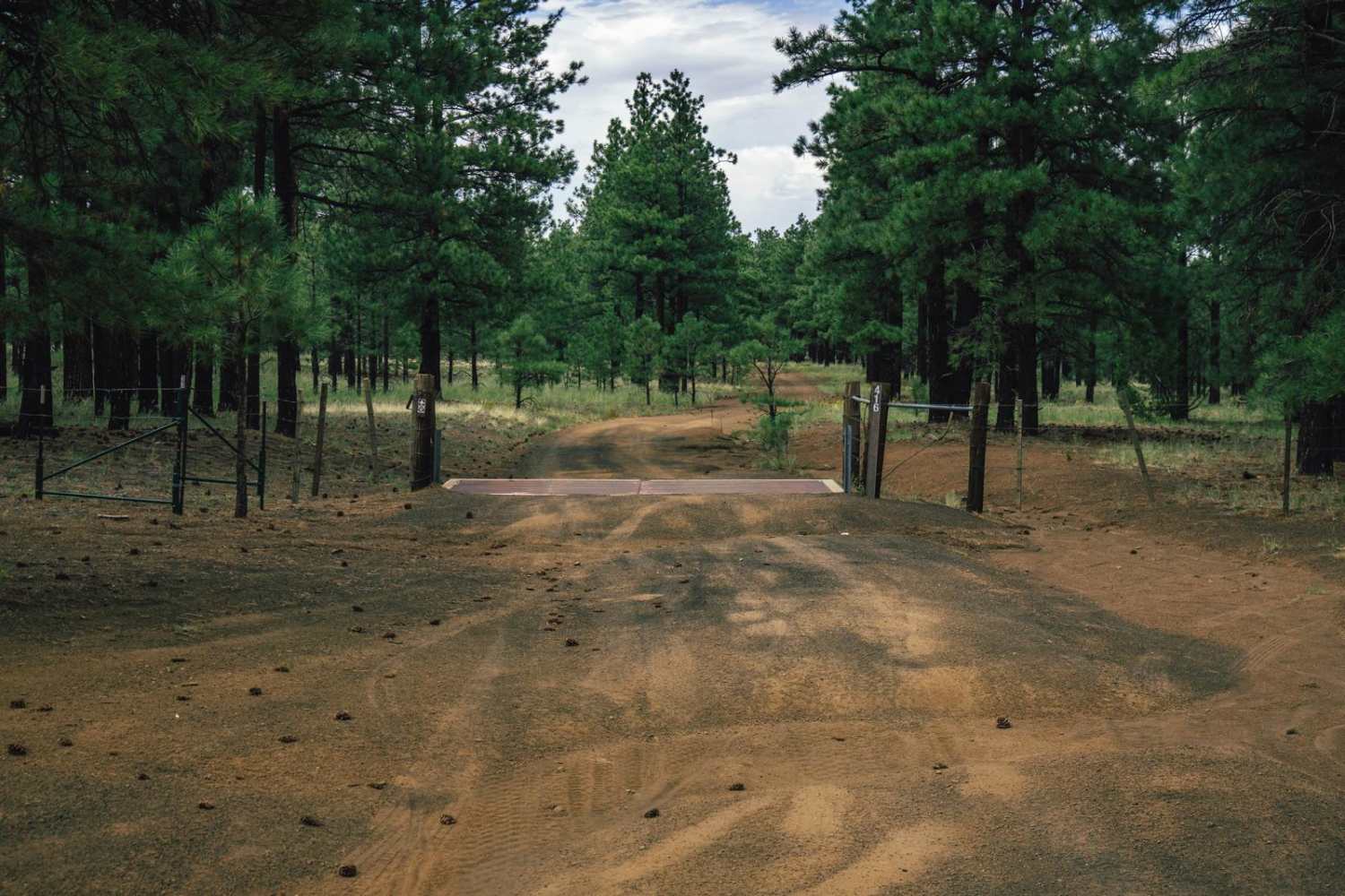
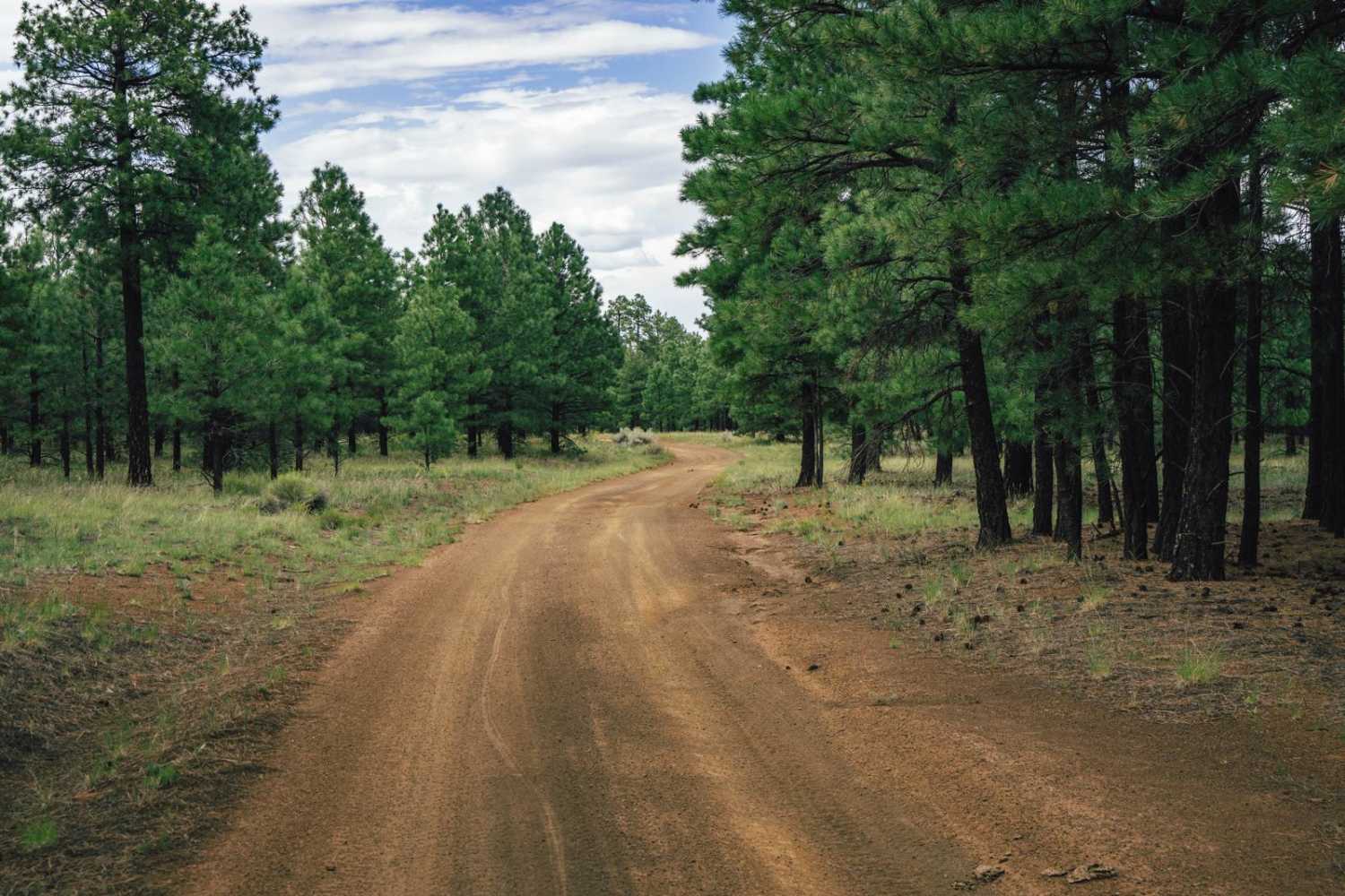
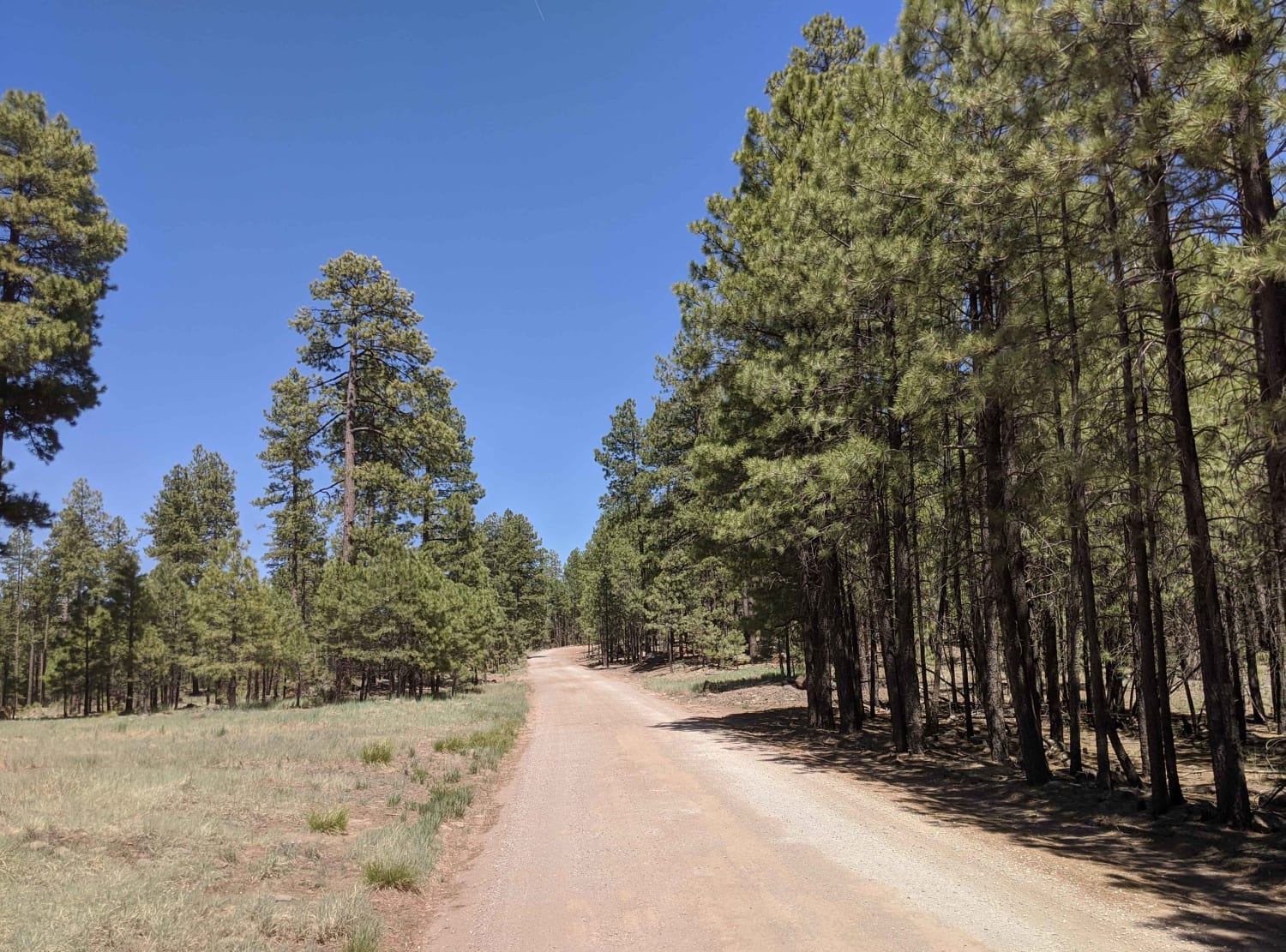
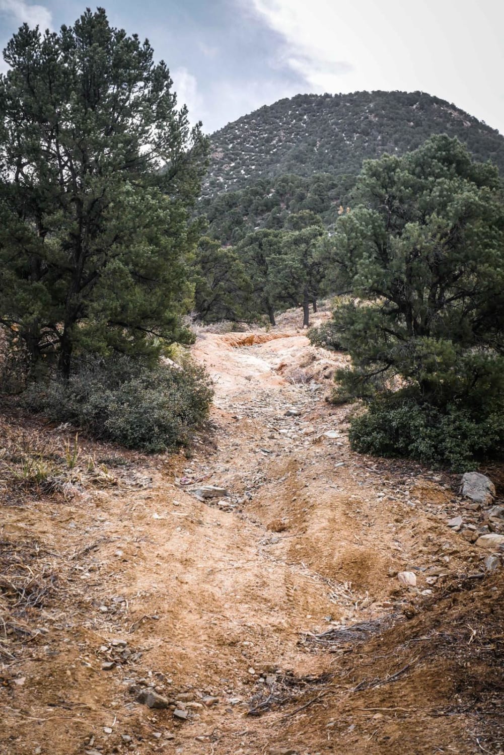
Trail Overview
416Main is one lane trail that features water damage, and erosion. On the South end, it's smooth and wide, gently transitioning as you go North to pretty much a rocky ditch. There are wash crossings, and as you approach Missouri Bill Hill to the North, the saddle gets a bit rockier with the downhill being unpleasant at times. There are no major obstacles on this trail, but also no cell service, so offline maps are essential. This is a very remote area of the Coconino National Forest, that is not well traveled and is very rugged. There are elk in the area, as well as deer, so you might see hunters occasionally.
Photos of 416Main
Difficulty
This is an unmaintained rugged trail with terrain becoming more challenging as you head North. There are no major obstacles on this trail, but you might encounter more drastic water damage and erosion with the potential of washouts and exposed rock toward the Northern end of the trail. Offline maps are essential as there is no cell service in the area.
Status Reports
Popular Trails

BLM Route 7125

Iron Mine Draw FR-196
The onX Offroad Difference
onX Offroad combines trail photos, descriptions, difficulty ratings, width restrictions, seasonality, and more in a user-friendly interface. Available on all devices, with offline access and full compatibility with CarPlay and Android Auto. Discover what you’re missing today!