Antelope/Temple Trail (East)
Total Miles
13.2
Technical Rating
Best Time
Spring, Summer, Fall
Trail Type
Full-Width Road
Accessible By
Trail Overview
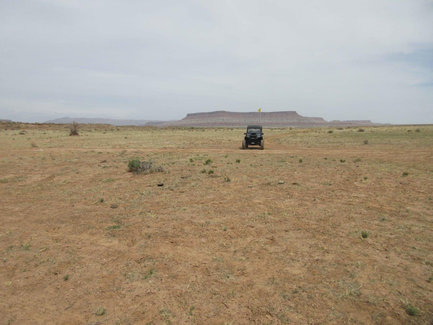
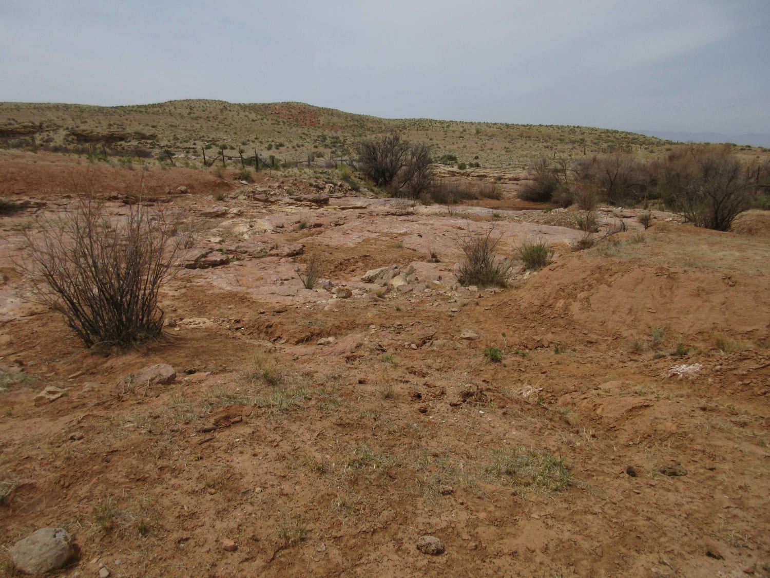
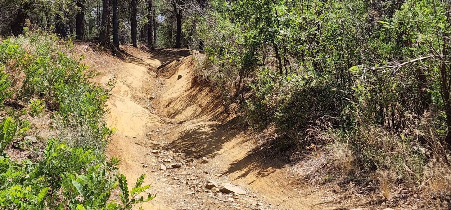
The now called Antelope Trail is a two land road that runs from Navajo Trail on the south and Highway 59 to the North. It transits portions of the old Temple and Honeymoon Trails and provides a shortcut to Hurricane City for ranchers in this area. The road is generally well maintained with some rutted sections where it turned muddy during past precipitation. Most vehicles can easily transit this road and enjoy the scenery and history that abounds in the area. Near the top of this trail there is a short trip to the west to the storage area for the wooden beams hauled north in the late 1800s from the sawmill on Mt Trumbull. Most vehicles should be able to navigate this more primitive trail but it is a short walk to the area where you will also see one of the few windmills in the area.
Photos of Antelope/Temple Trail (East)
Difficulty
Easy two lane maintained gravel/dirt road with some minor areas that are rutted when traveled after precipitation in the area.
Status Reports
Antelope/Temple Trail (East) can be accessed by the following ride types:
- High-Clearance 4x4
- SUV
- SxS (60")
- ATV (50")
- Dirt Bike
Antelope/Temple Trail (East) Map
Popular Trails

Twin Peaks View

9113B Option

Aquarius Cliffs Trail
The onX Offroad Difference
onX Offroad combines trail photos, descriptions, difficulty ratings, width restrictions, seasonality, and more in a user-friendly interface. Available on all devices, with offline access and full compatibility with CarPlay and Android Auto. Discover what you’re missing today!


