AZ Peace Trail Spur to Davis Camp (East)
Total Miles
3.2
Elevation
985.08 ft
Duration
0.75 Hours
Technical Rating
Best Time
Spring, Summer, Fall, Winter
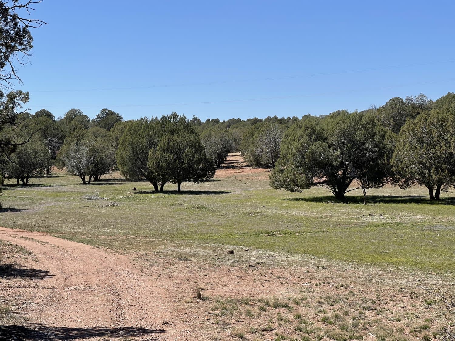
Trail Overview
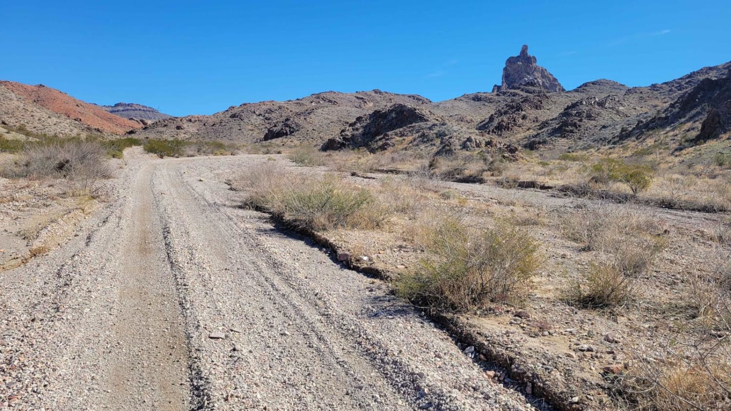
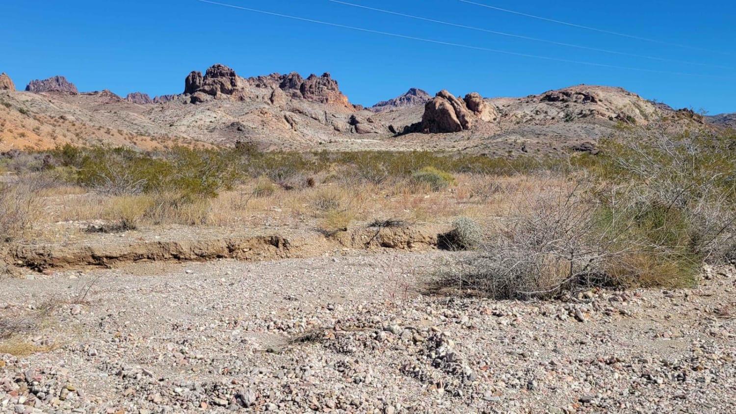
The sign mentions "4x4 Recommended", which is likely as a "just in case", but isn't required to complete the route. The trail can be in a high-clearance 4x4 in 2WD. Spur to Davis Camp (East) is allegedly a part of the Arizona Peace Trail system. This point-to-point trail begins and ends at the Secret Pass Cutoff trail. Starting from the west, the trail is mild and easy-going, with the greatest difficulty being the endless washboards on the trail. This route passes by Thumb Butte, a tall, impressive, and unique rock formation that stands out among all the others. The further east you travel, the more narrow the trail becomes, as vegetation hugs both sides of the trail. The trail turns from sandy wash to loose rocks on inclined terrain. The very last quarter mile or so (eastward), there is a challenging off-camber rock obstacle within a narrow canyon, followed immediately by a very steep hill climb with plenty of large, loose rocks. This section of the trail is not recommended for beginners and even advanced or expert drivers may have a time of it. 4x4, clearance, and/or lockers are required. There is an easier alternate route to the north--"Easy By-Way"--for those looking to avoid the rock obstacle. Don't forget to look around and enjoy the stunning and dramatic scenery of the Black Mountains.
Photos of AZ Peace Trail Spur to Davis Camp (East)
Difficulty
The very last quarter mile or so (eastward), there is a challenging off-camber rock obstacle within a narrow canyon, followed immediately by a very steep hill climb with plenty of large, loose rocks. This section of the trail is not recommended for beginners and even advanced or expert drivers may have a time of it. 4x4, clearance, and/or lockers are required.
Status Reports
Popular Trails
The Fun Side of the Black Hills

The onX Offroad Difference
onX Offroad combines trail photos, descriptions, difficulty ratings, width restrictions, seasonality, and more in a user-friendly interface. Available on all devices, with offline access and full compatibility with CarPlay and Android Auto. Discover what you’re missing today!