AZ Peace Trail Spur to Davis Camp (West)
Total Miles
7.2
Technical Rating
Best Time
Spring, Summer, Fall, Winter
Trail Type
Full-Width Road
Accessible By
Trail Overview
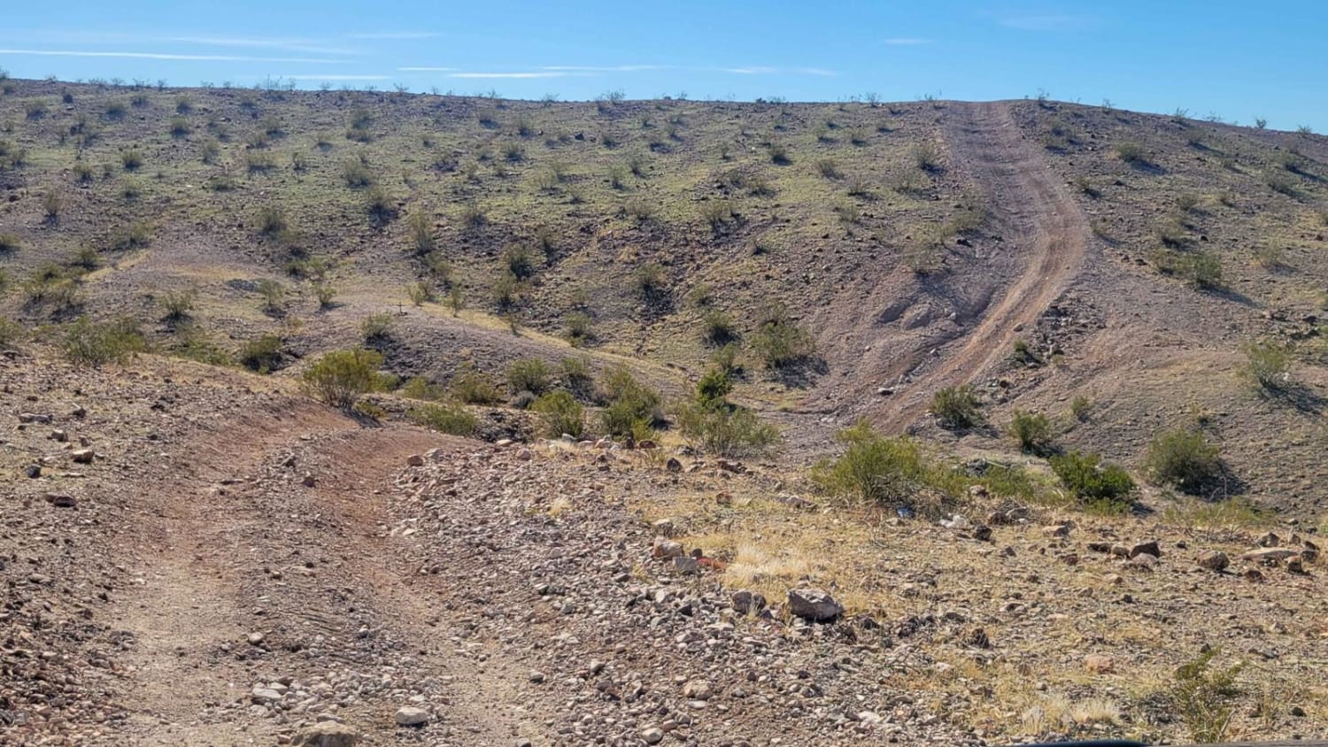
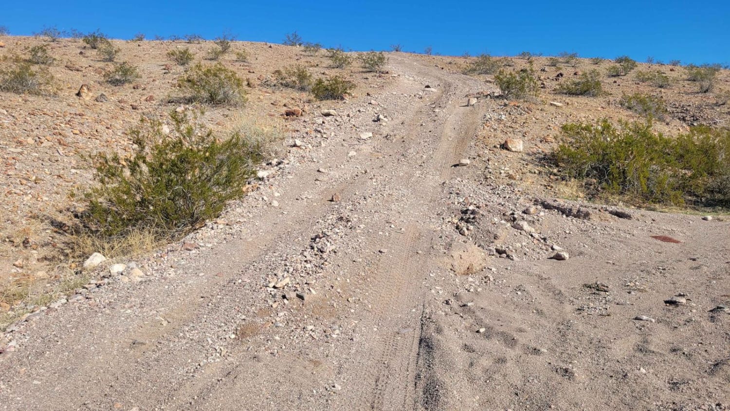
Spur to Davis Camp (West), also known as Buck Wash Road, is allegedly part of the Arizona Peace Trail system. It begins just east of Bullhead City and there are a dozen trails/options to reach this particular trail. If following the AZPT highlight on OnX, it begins off of McCormick Boulevard. Right away there are some steep, short hills to navigate. A little further in are some bigger hills, one of which has loose sand on one side and may be difficult to climb. Fortunately, there are easier, alternate routes around these larger, steep hills. Once to the open wash, it's virtually a straight shot up to the Black Mountains. The wash trails are heavily washboarded from SXS use. Some of the wash sections are wide open while others are more narrow with vegetation. Water erosion damage on or beside the trail begins appearing closer to the mountains. There are many offshoot trails to explore. This section of the trail (West) ends at Secret Pass Cutoff, due to the more advanced nature of Spur to Davis Camp (East). You have the option to continue eastward or use alternate routes in the area.
Photos of AZ Peace Trail Spur to Davis Camp (West)
Difficulty
Depending where your route begins, you may encounter several steep hills with alternate routes available. The wash trails are heavily washboarded from SXS use. Some of the wash sections are wide open while others are more narrow with vegetation.
History
The Arizona Peace Trail is a nearly 700-mile off-highway vehicle trail loop system in Mohave, La Paz, and Yuma counties in western Arizona. The AZPT was first initiated by the Bureau of Land Management (BLM) and the Arizona Game and Fish Department (AZGFD) in July 2013. It is one of the longest signed and mapped OHV trail systems in the United States.
Status Reports
AZ Peace Trail Spur to Davis Camp (West) can be accessed by the following ride types:
- High-Clearance 4x4
- SUV
- SxS (60")
- ATV (50")
- Dirt Bike
AZ Peace Trail Spur to Davis Camp (West) Map
Popular Trails
Yellowstone North HN79
Jackrabbit Loop
Lost Cabin Wash Trail
7 Mile Tank Road
The onX Offroad Difference
onX Offroad combines trail photos, descriptions, difficulty ratings, width restrictions, seasonality, and more in a user-friendly interface. Available on all devices, with offline access and full compatibility with CarPlay and Android Auto. Discover what you’re missing today!
