AZT Connect
Total Miles
5.6
Elevation
1,973.92 ft
Duration
0.75 Hours
Technical Rating
Best Time
Spring, Summer, Fall
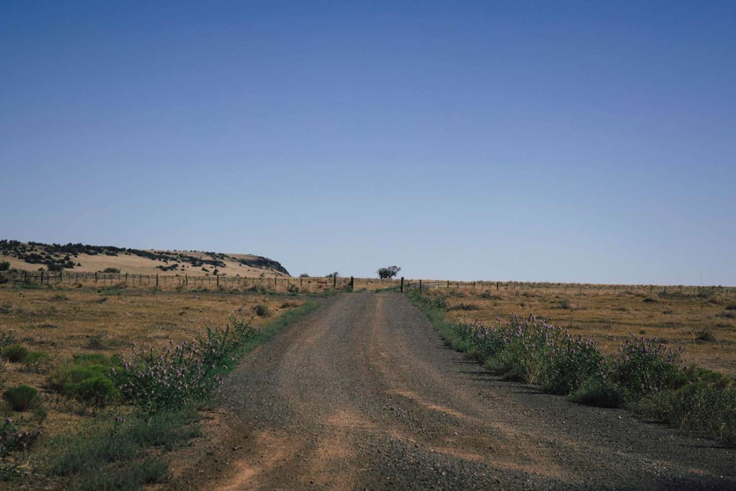
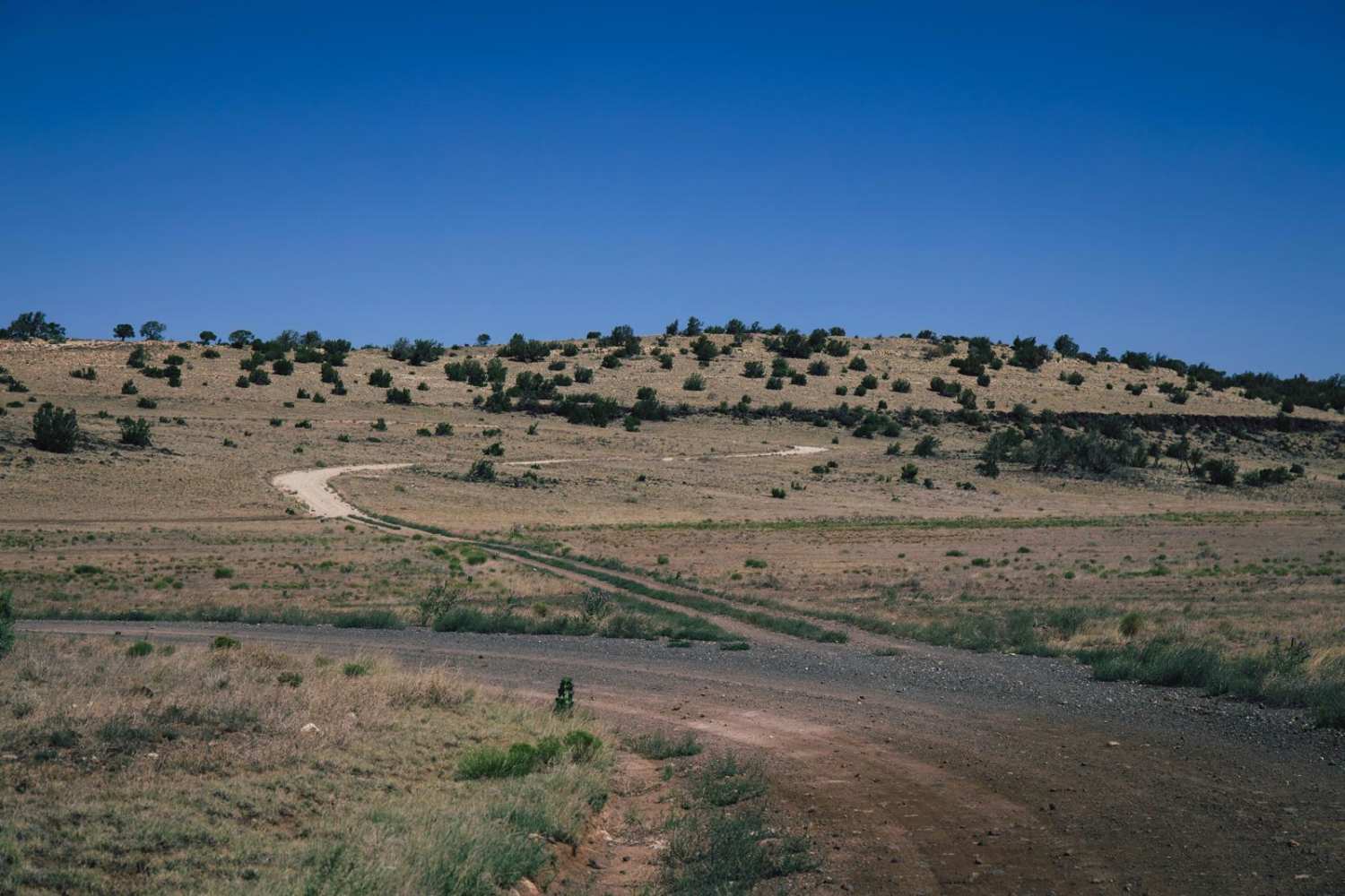
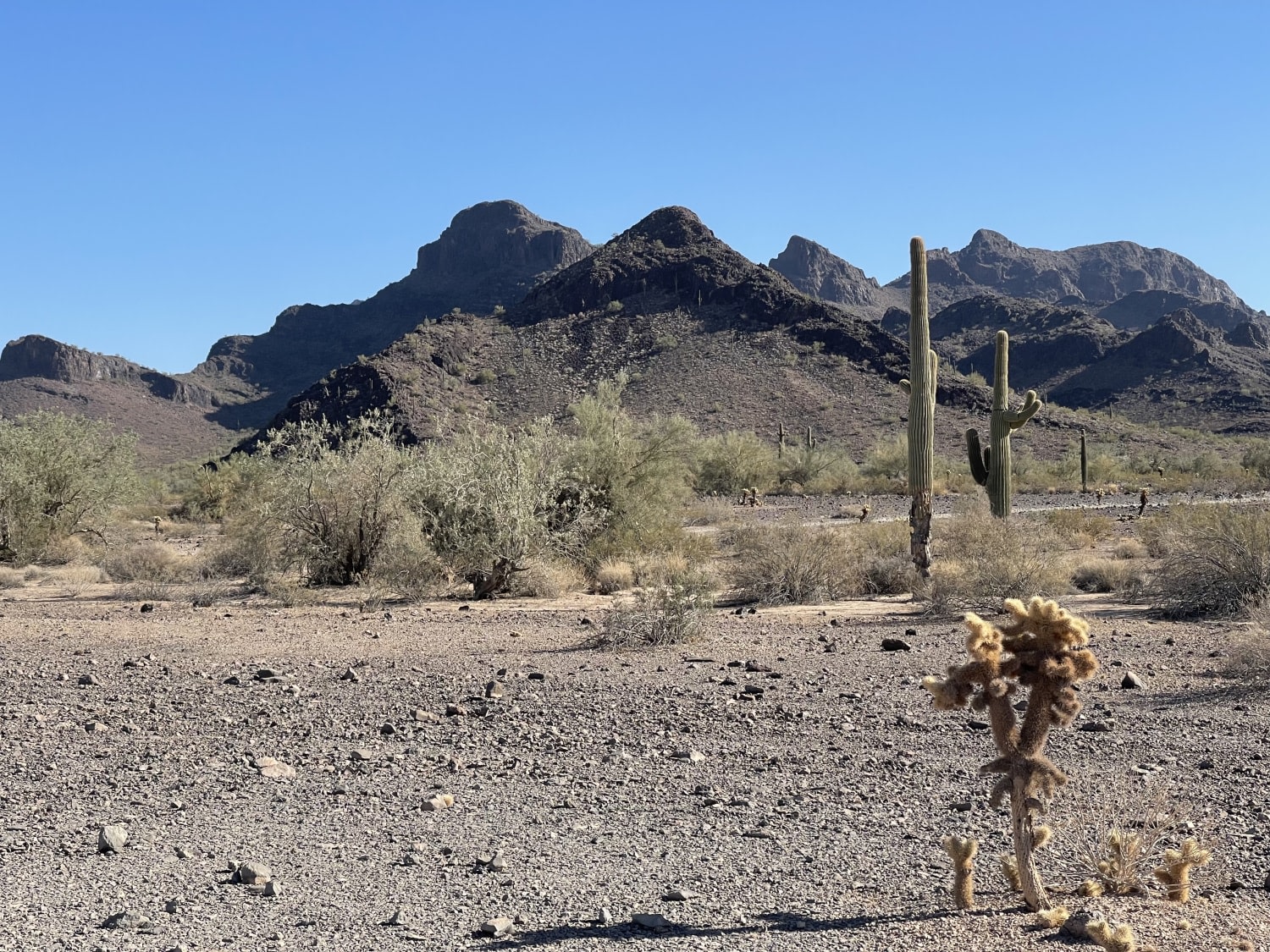
Trail Overview
The AZT Connect trail is a beautiful trail that accesses the checkerboard of private and public designated land in Northern Arizona. This trail is part of a scenic trail system that connects Mexico to Utah, stretching 800 diverse miles across Arizona to link deserts, mountains, canyons, forests, history, communities, and diverse peoples. This trail has no obstacles on it, as well as limited cell service, so offline maps are recommended. It's an easy trail, but take your time, because the scenery is absolutely beautiful. This area is popular with hunters, so plan accordingly and don't be surprised to see camps and people off in the distance. There is a sign-in/sign-out kiosk with passes that hang on your rearview mirror, so please follow local ordinances and observe local law, and always remember to TREAD LIGHTLY as this pristine landscape is fragile and can be damaged easily.
Photos of AZT Connect
Difficulty
This is an unmaintained trail but is well-traveled with hunters and recreationalists in the area. It has gentle grades and beautiful scenery and is a main artery to the area. Please TREAD LIGHTLY.
Status Reports
Popular Trails
Upper Palomas Harquahala
Ranch Loop OHV
West End Preacher Pass
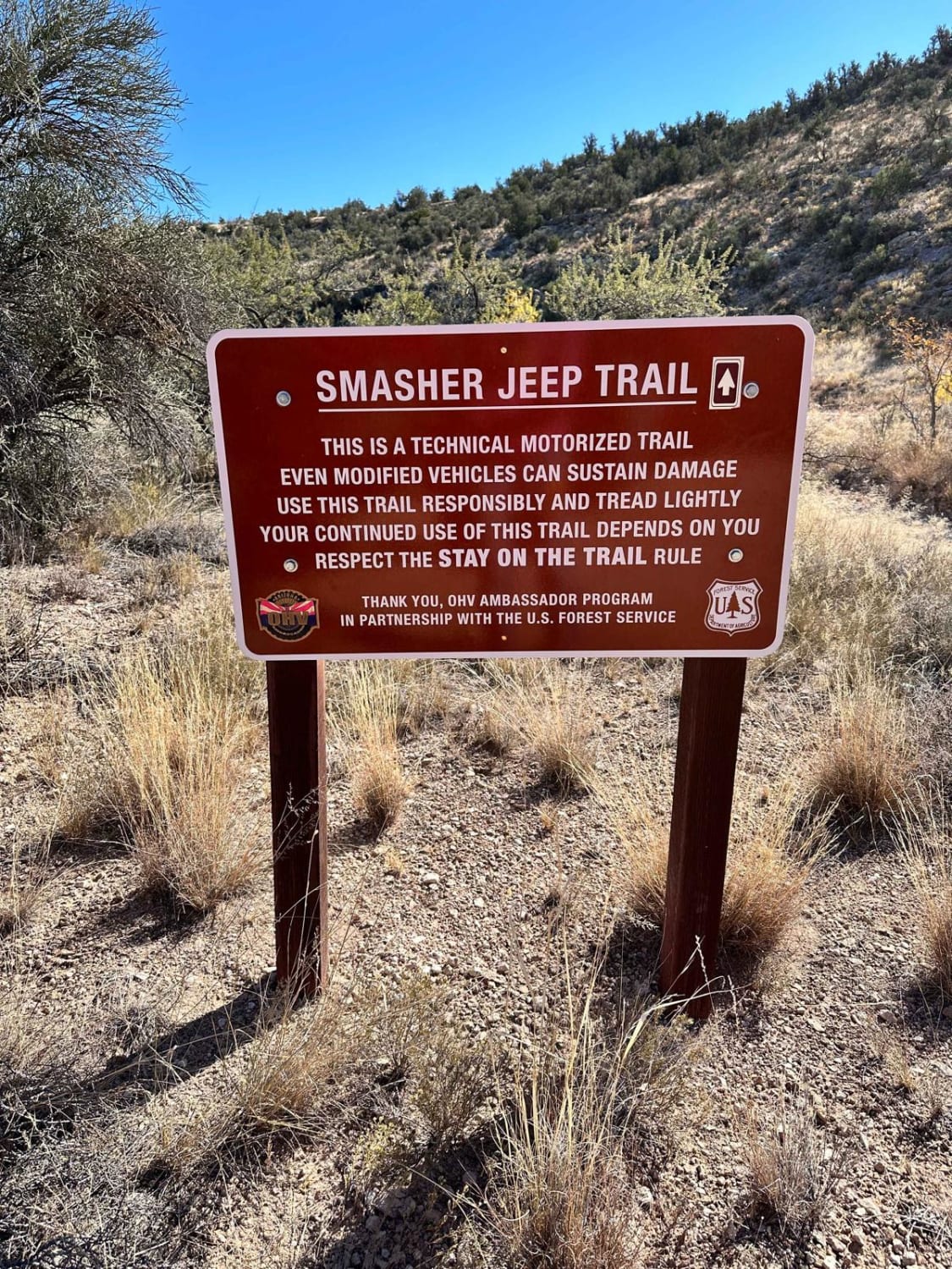
Smasher Canyon
The onX Offroad Difference
onX Offroad combines trail photos, descriptions, difficulty ratings, width restrictions, seasonality, and more in a user-friendly interface. Available on all devices, with offline access and full compatibility with CarPlay and Android Auto. Discover what you’re missing today!