Betty Lee Mine Loop
Total Miles
25.3
Technical Rating
Best Time
Spring, Summer, Fall, Winter
Trail Type
High-Clearance 4x4 Trail
Accessible By
Trail Overview
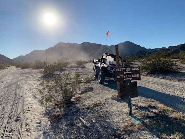
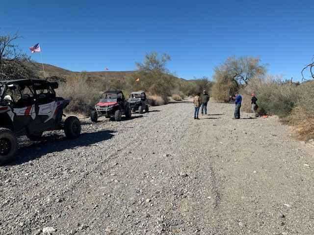
Betty Lee Mine Loop is a desert ride located in the USAF Barry Goldwater Range southeast of Yuma. The ride consists of some wide-open, throttle-flat, straight gravel roads coupled with some mountainous trail riding on rocky, winding trails with plenty of scenic mountainous terrain. A prior access permit is required for each rider and can be easily obtained by Googling "Barry Goldwater Range", following the online directions, and printing out the permit slip for each driver and passenger(s). Rewards at the end of the trail are the historic Betty Lee Mine and Tanks, remnants of a bygone era--old stone tanks and dwelling structures to explore. It's a great place to stop and have lunch and refreshments.
Photos of Betty Lee Mine Loop
Difficulty
This is an uneven, rutted dirt trail with loose rocks, sand, erosion, and washes. There are potential water crossings up to 18 inches deep, mud holes, and obstacles up to 2 feet, including ledges and short, steep grades. Roads are typically one vehicle wide with places to pass.
Status Reports
Betty Lee Mine Loop can be accessed by the following ride types:
- High-Clearance 4x4
- SxS (60")
- ATV (50")
- Dirt Bike
Betty Lee Mine Loop Map
Popular Trails

Fenceline Runout
BLM Route 9685 & 9656
Bill Williams Mountain
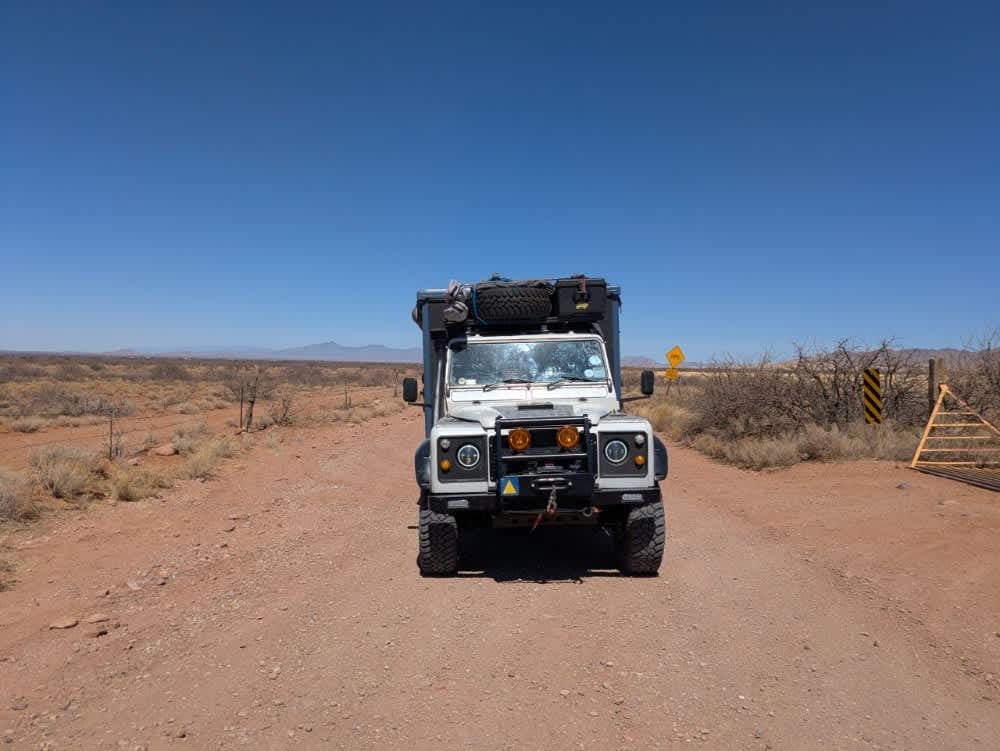
Kuykendall Cut Off
The onX Offroad Difference
onX Offroad combines trail photos, descriptions, difficulty ratings, width restrictions, seasonality, and more in a user-friendly interface. Available on all devices, with offline access and full compatibility with CarPlay and Android Auto. Discover what you’re missing today!
