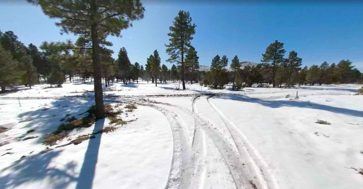
Black Rock Mountain Road-BLM1022
Total Miles
14.9
Technical Rating
Best Time
Spring, Summer, Fall
Trail Type
Full-Width Road
Accessible By
Trail Overview
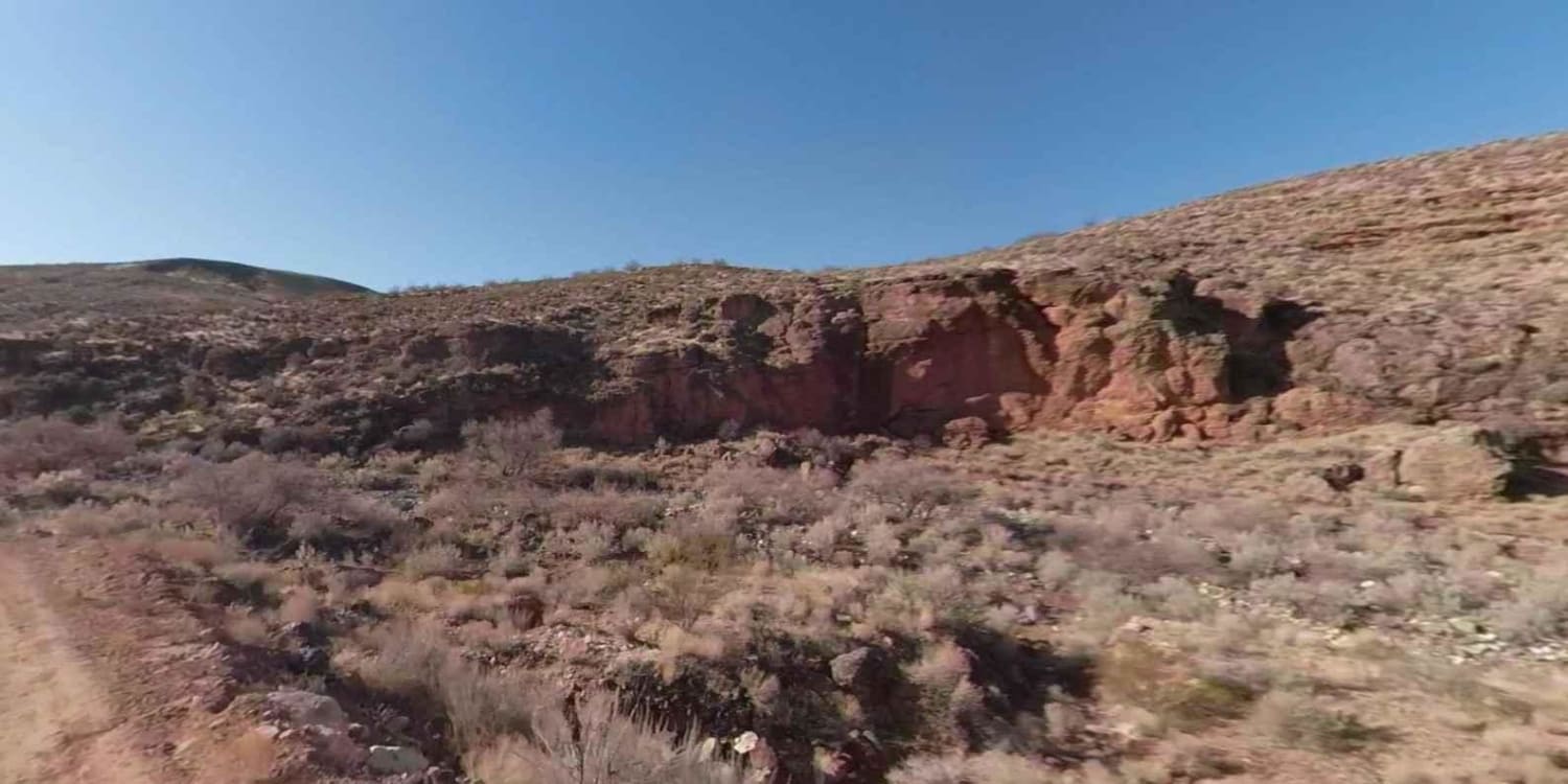
Black Rock Mtn Rd-BLM1022 is a point-to-point 15-mile trail rated 3 of 10. The trail is the primary route for those wishing to visit Cedar Pockets Overlook. Travelers will transit high desert plateaus, Pinyon Pine forests, sand washes and canyon road. When traveling north to south Little Purgatory Canyon will be visible for the first half mile of the trail. Continuing south areas that will be visible are "The Dives" very nice red-faced cliffs, the trail to Cedar Pockets Overlook and Low Mountain the tallest feature along the route. This trail may be closed by the BLM during winter months if road conditions deteriorate or become impassable.
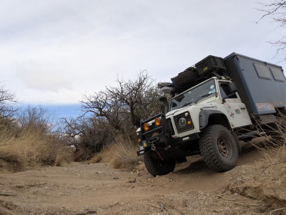
Photos of Black Rock Mountain Road-BLM1022
Difficulty
Trail consisting of loose rocks, dirt, and sand with some slickrock surfaces, mud holes possible, no steps higher than 12". 4WD may be required, and aggressive tires a plus.
Status Reports
Black Rock Mountain Road-BLM1022 can be accessed by the following ride types:
- High-Clearance 4x4
- SUV
- SxS (60")
- ATV (50")
- Dirt Bike
Black Rock Mountain Road-BLM1022 Map
Popular Trails
Stockyard Junction
Camp Creek Access ATV Trail

Bypass Confluence Crossing
Castle Rock Tank Loop
The onX Offroad Difference
onX Offroad combines trail photos, descriptions, difficulty ratings, width restrictions, seasonality, and more in a user-friendly interface. Available on all devices, with offline access and full compatibility with CarPlay and Android Auto. Discover what you’re missing today!
