BLM Road 1620
Total Miles
5.2
Technical Rating
Best Time
Spring, Fall, Winter
Trail Type
Full-Width Road
Accessible By
Trail Overview
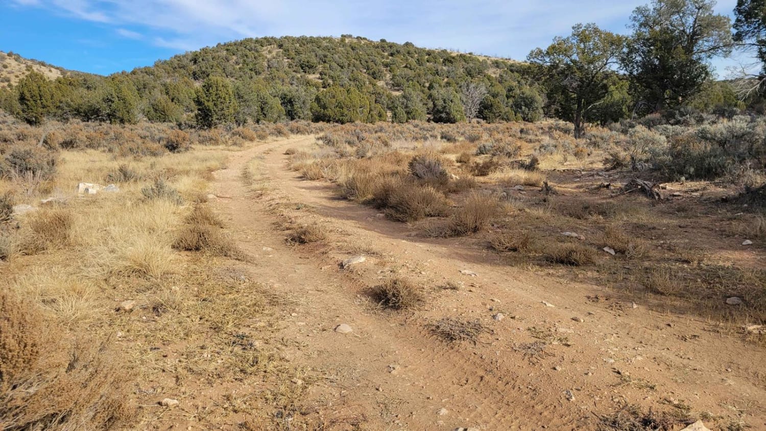
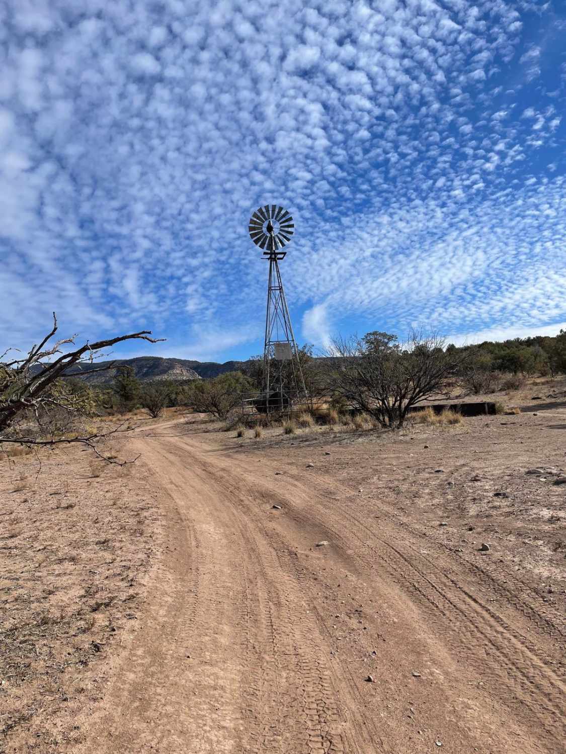
BLM Road 1620 is a short connector trail between Hobble Canyon and Sullivan Draw Road. The trail is an easy-going two-track through the grasslands of a little valley. There are a few small rutted sections here and there, but full-size vehicles and 2WD would have no trouble in dry conditions. The trail passes two ponds--Hobble Pond and Cox Pond. There was no water present in December 2023 and there likely isn't for most of the year. Maybe once upon a time, there was. The Arizona Strip is incredibly remote with no service and hardly any visitors. Summer months will reach triple-digit temperatures and freezing temperatures in the winter months. Be prepared when venturing out here.
Photos of BLM Road 1620

Difficulty
The trail is an easy-going two track through the grasslands of a little valley. There are a few small rutted sections here and there, but full-size vehicles and 2WD would have no trouble in dry conditions.
Status Reports
BLM Road 1620 can be accessed by the following ride types:
- High-Clearance 4x4
- SUV
- SxS (60")
- ATV (50")
- Dirt Bike
BLM Road 1620 Map
Popular Trails

32137 - Single Track

West Powerline
NF-282 - Jacob Lake
The onX Offroad Difference
onX Offroad combines trail photos, descriptions, difficulty ratings, width restrictions, seasonality, and more in a user-friendly interface. Available on all devices, with offline access and full compatibility with CarPlay and Android Auto. Discover what you’re missing today!