Blue Ridge Campground
Total Miles
3.5
Elevation
2,261.09 ft
Duration
0.75 Hours
Technical Rating
Best Time
Spring, Summer, Fall
Trail Overview
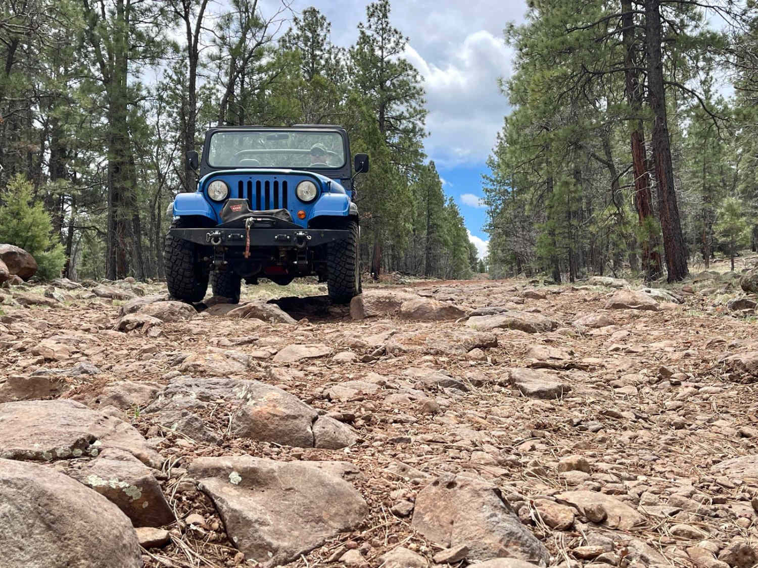
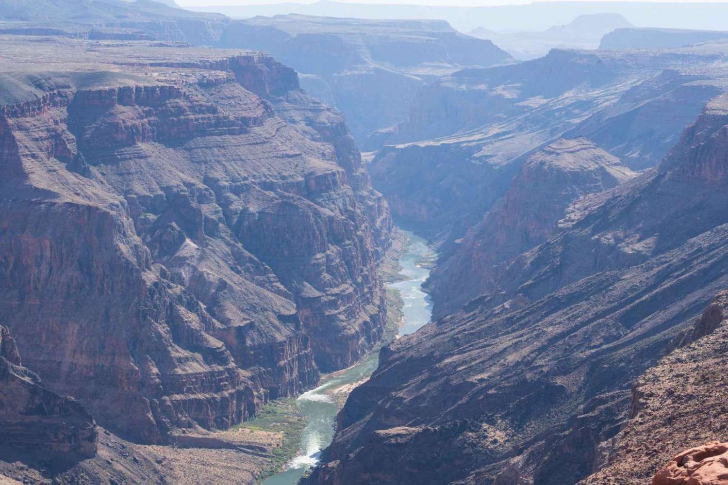
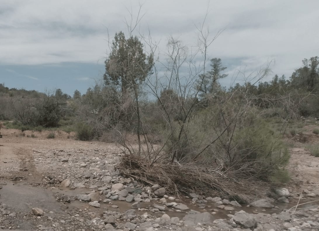
Coming from the north, this trail is an easy, wide-graded route with access to the Blue Ridge Campground and Moqui Group Campground. Both are seasonally open, and the Arizona hiking trail runs right through the two campgrounds. The campground has really nice spots with bear boxes, pit toilets, and flat pads for tents. There are metal fire rings and picnic tables as well. It looks like the fees to camp are $20 for up to 14 days--what a deal. South of the camp, the trail gets interesting. There are deep washouts that are off-camber and stretch out the suspension. Expect large boulders and transitions to navigate. Careful line choice will avoid sidewall damage. The middle section is the most challenging, while it becomes a decently-graded pole line road further to the south. This pole line section has a few nice little campsites and fire rings tucked into the trees. There is one bar of Verizon LTE that fades in and out; download your offline maps beforehand. The southernmost end of the trail is rocky again, with a small turnaround at the cliffside and a great view of the Blue Ridge Reservoir.
Photos of Blue Ridge Campground

Difficulty
This trail is rated a 4 for the sections south of the campgrounds. It's a solid one up to that point, allowing campers and vehicles with trailers to camp there. The middle section of the trail is full of deep ruts, small shelves, and large boulders. It's a fun trail that weaves through a well-established section of oak trees.
History
The Mogollon Rim is a rugged escarpment that forms the southern limit of the Colorado Plateau. It extends across the entire forest, approximately 200 miles in total, and provides excellent views within plateau country and desert canyon country as well. Dropping as much as 2,000 feet in some areas, the Rim offers some of the most far-reaching scenery in Arizona. Views stretch from its rocky precipice to Four Peaks of the Mazatzals northeast of Phoenix. Sightseeing is a favorite activity along the Rim. Still, this forest area also boasts a historic system of hiking and horseback trails, a couple of picturesque lakes for boating and fishing, and backcountry skiing for wilderness adventurers. The Mogollon Rim is a topographical and geological feature cutting across the northern half of Arizona. It extends diagonally approximately 200 miles, starting in northern Yavapai County and running eastward, ending near the New Mexico border. It forms the southern edge of the Colorado Plateau in Arizona. The Rim is an escarpment defining the southwestern edge of the Colorado Plateau. Its central and most spectacular portions are characterized by high cliffs of limestone and sand, namely the Kaibab limestone and Coconino sandstone cliffs. This escarpment was created by erosion, faulting, and cutting dramatic canyons into it, including the Fossil Creek Canyon and Pine Canyon. The name Mogollon comes from Don Juan Ignacio Flores Mogollon, the Spanish governor of New Mexico from 1712 to 1715. The Mogollon Rim's limestones and sandstones were formed from sediments deposited in the Carboniferous and Permian Periods. Several of the Rim's rock formations are also seen on the walls of the Grand Canyon. The extensive basaltic lava flows cap or even bury the Rim in many places. Be sure to keep your eyes peeled for the endangered Mexican spotted owl. Other wildlife present on the Rim will be herds of elk and deer. You may see black bears, mountain lions, and even the occasional red-tailed hawk or peregrine falcon. There are also coyotes, horned toads, and rattlesnakes. This area frequently has fire restrictions early in the season. Be sure to contact the local ranger station for information about the current campfire restrictions. Or, at the minimum, check the Coconino Fire webpage. https://www.coconino.az.gov/2595/Fire-Restriction-Information
Popular Trails
Toroweap Grand Canyon Overlook
WhoopDeDo Roller Coaster
Rye, Alder, and Cypress

Treehouse Cabin
The onX Offroad Difference
onX Offroad combines trail photos, descriptions, difficulty ratings, width restrictions, seasonality, and more in a user-friendly interface. Available on all devices, with offline access and full compatibility with CarPlay and Android Auto. Discover what you’re missing today!