Box T #511
Total Miles
9.3
Technical Rating
Best Time
Spring, Winter, Fall
Trail Type
50" Trail
Accessible By
Trail Overview
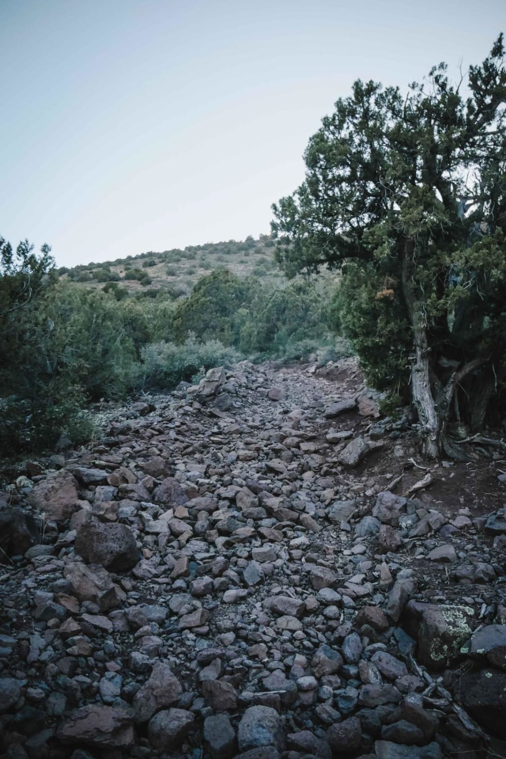
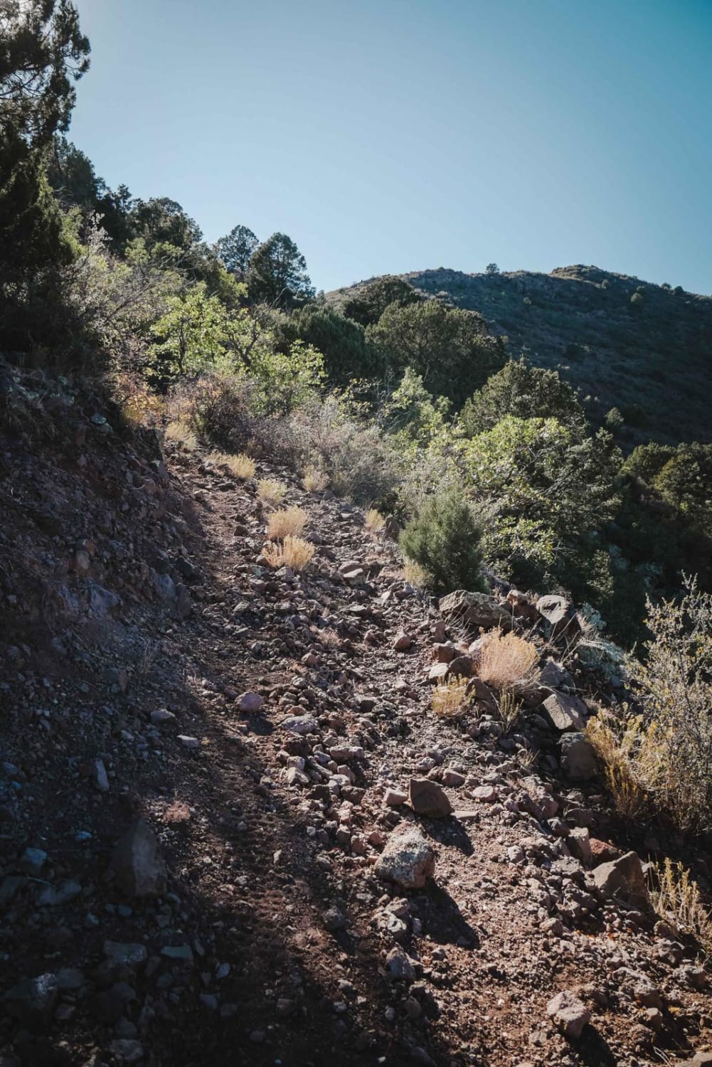
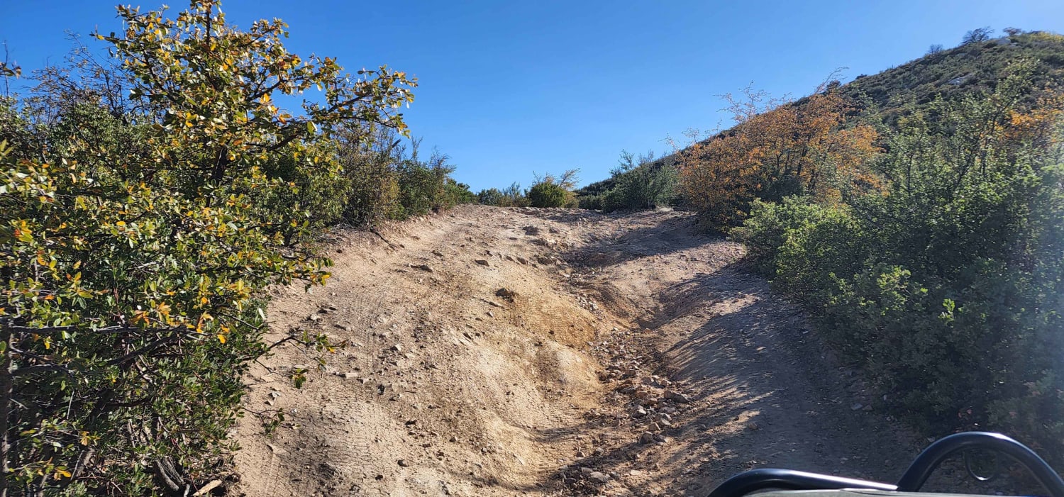
Box T is a 10.4-mile-long 50-inch trail near Camp Verde, Arizona, that has some very challenging steep and rocky sections that would be an extreme challenge for any ATV or 50-inch UTV and is also rated advanced for dirt bikes. The east end of the trail starts off of South Salt Mine Road at a large dirt parking lot with plenty of space for trailers. The trail starts off pretty easy, flowing over the rolling desert hills, then gradually starts climbing up as it heads west and starts to get rocky near the intersection with Ryal Canyon. The trail gets much steeper after this intersection, and extremely rocky. It continues as a shelfy trail, with several steep climbs that are full of loose bowling ball-sized rocks on loose dirt and several rock ledges. It's hard to keep traction in these steep spots with so many rocks. It has 10 or so pretty steep switchbacks that are also covered in loose rocks and are pretty challenging. These climbs would be pretty difficult for the average rider going up or down. After it gets up to the top of the mountain near the Box T Tank, there are several steep rocky descents before the trail flattens out for the next 3 miles between the intersection with Tomkins and Forest Service Road 732. The trail is still very rocky, but not as difficult without the steep hills. There are lots of embedded slabs of volcanic rock in the trail, and it continues as a wide two-track with several gates and pinch points all the way to FS Road 732. The westernmost section west of FS Road 732 looks less frequently used, and most riders likely end the trail on FS Road 732. This little section looks like there has been a rock slide that makes it hard to tell where the trail starts on the west side of the road, and the trail itself is full of boulders. This section would be very technical for an ATV, and is most likely only ridden by dirt bikers.
Photos of Box T #511
Difficulty
This is an advanced 50-inch trail that has lots of very steep sections full of huge loose rocks that would be an extreme challenge for any 50-inch vehicle and is advanced for dirt bikers as well. The sections between FS Road 732 and Tomkins, and the east trailhead and Ryal Canyon, are both easier, while most of the steep sections are in the middle of the trail.
Status Reports
Box T #511 can be accessed by the following ride types:
- ATV (50")
- Dirt Bike
Box T #511 Map
Popular Trails

Apache Trail to Apache Lake Marina
Italian Trap Road #37
Jack Pine Road
The onX Offroad Difference
onX Offroad combines trail photos, descriptions, difficulty ratings, width restrictions, seasonality, and more in a user-friendly interface. Available on all devices, with offline access and full compatibility with CarPlay and Android Auto. Discover what you’re missing today!
