Bull Pen Road
Total Miles
5.3
Technical Rating
Best Time
Spring, Summer, Fall
Trail Type
Full-Width Road
Accessible By
Trail Overview
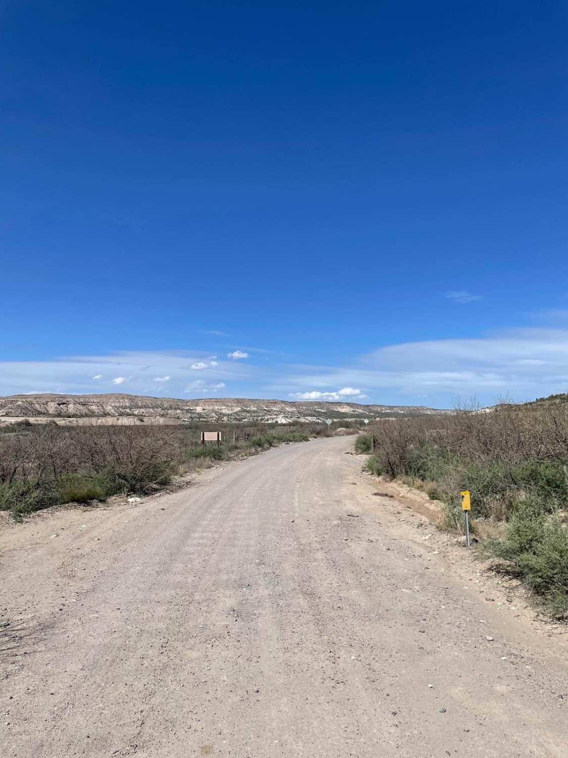
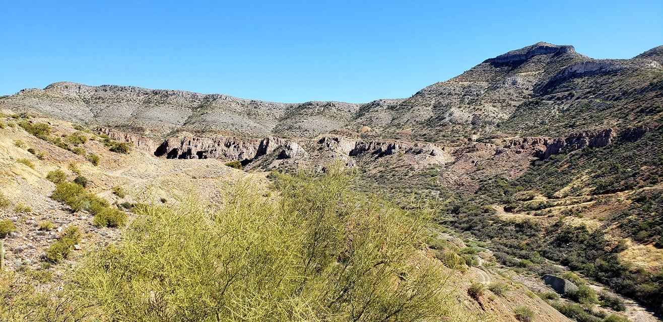
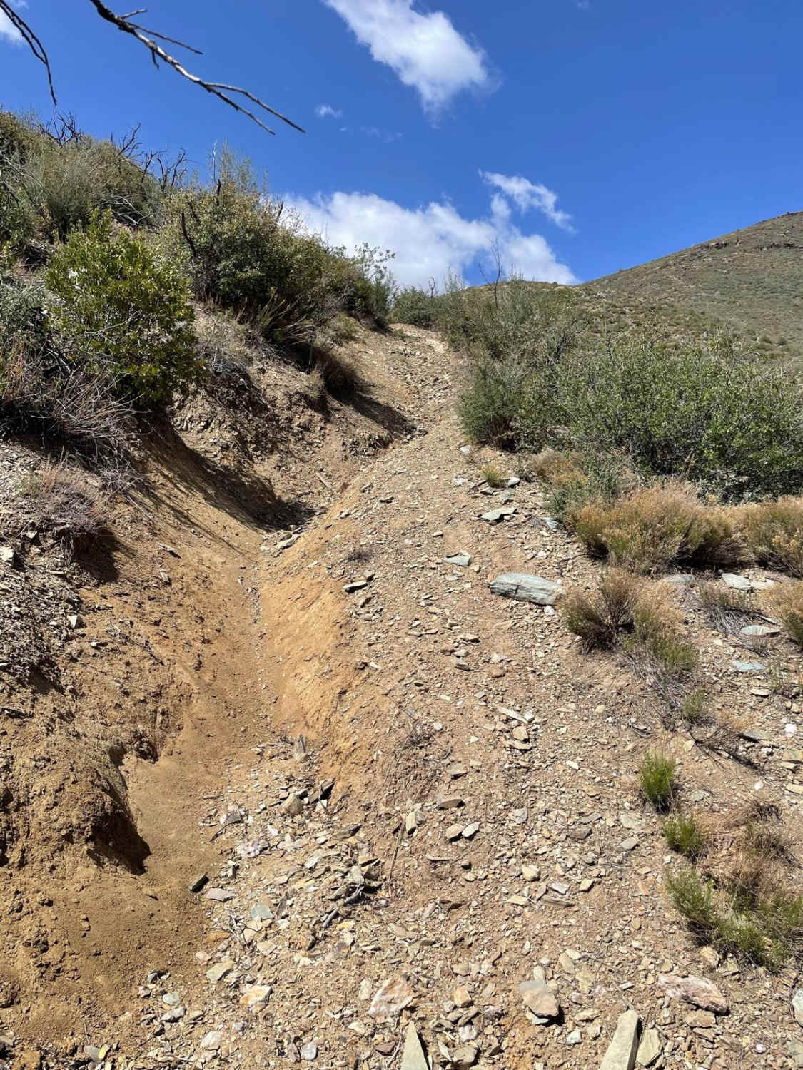
Bull Pen Road starts just off Highway 260. The total mileage of this trail is 5.3 miles and takes you into the canyon where West Clear Creek is located. Most of this trail is easygoing with lots of washboarded areas. Once you pass a Forest Service gate, the trail gets rougher but has nothing technical at all. The trail then starts to drop down towards West Clear Creek. There is a switchback when you are coming down the trail, so be careful of others on the road. This switchback is very bumpy and steep with a sharp drop-off to your right. After this drop in elevation, the trail rolls through cottonwoods and sycamores and ends at a parking lot for the West Clear Creek Trail, which is a non-motorized hiking trail. There is no camping near West Clear Creek but camping is allowed along most of this trail. There are many camping spots along the way.
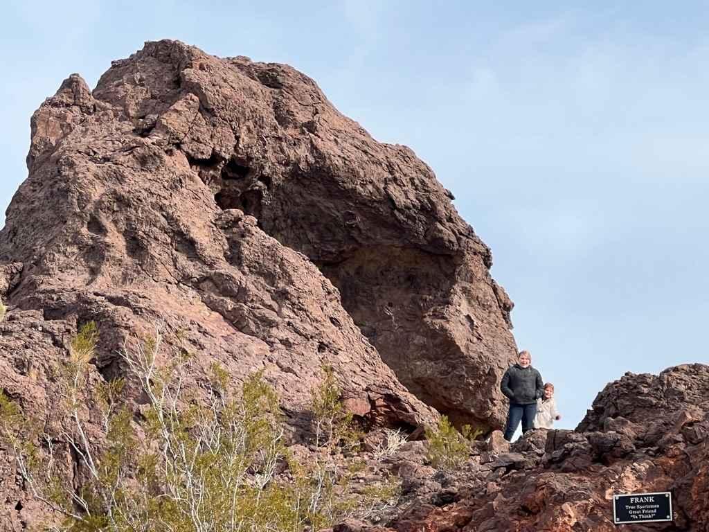
Photos of Bull Pen Road

Difficulty
Expect a rocky dirt road with washboarded areas.
Status Reports
Bull Pen Road can be accessed by the following ride types:
- High-Clearance 4x4
- SUV
- SxS (60")
- ATV (50")
- Dirt Bike
Bull Pen Road Map
Popular Trails
Topock Slot Canyon

Long Valley West
Washed Out Hill
The onX Offroad Difference
onX Offroad combines trail photos, descriptions, difficulty ratings, width restrictions, seasonality, and more in a user-friendly interface. Available on all devices, with offline access and full compatibility with CarPlay and Android Auto. Discover what you’re missing today!